

North Swell Holds and Slowly Fades
Alerts
There are no ocean alerts posted for the Big Island at this time.
**Click directly on the images below to make them larger. Charts include: Big Island projected winds, tides, swell direction & period and expected wave heights.**
 Big Island Surf Forecast
Hilo side: Wave heights from well overhead to near double overhead are expected, the best breaks could be slightly bigger. Surf is expected to hold in the morning, then fade.
Kona side: Wave heights from ankle to thigh high are expected. The best spots could get waist high waves on the sets.
South: Wave heights of knee to thigh high are expected. Standout spots could get up to waist high on the sets.
 Our current north swell is expected to hold through the morning before slowly fading through the middle of the week.
A storm that just developed in the northwest Pacific could bring a solid swell around the 13th. Will keep an eye on it.
Mix of energy out of the south will linger. We may get some energy headed our way around the 13th thanks to a storm in the Tasman Sea.
Keep in mind, surf heights are measured on the face of the wave from trough to crest. Heights vary from beach to beach, and at the same beach, from break to break.
**Click here for your detailed Big Island weather report.**
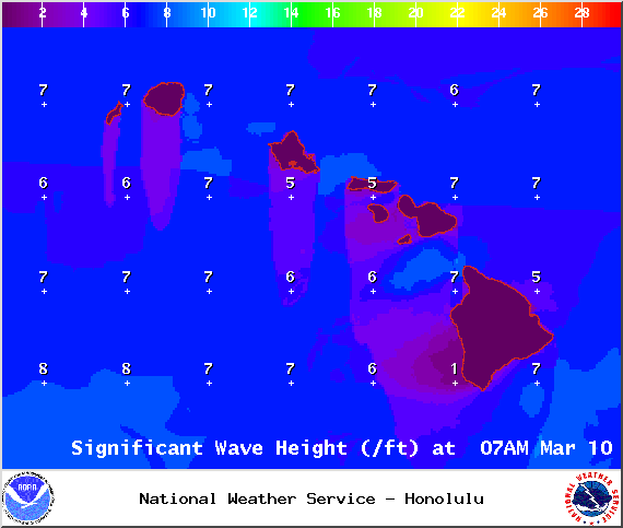
Image: NOAA / NWS

Image: NOAA / NWS
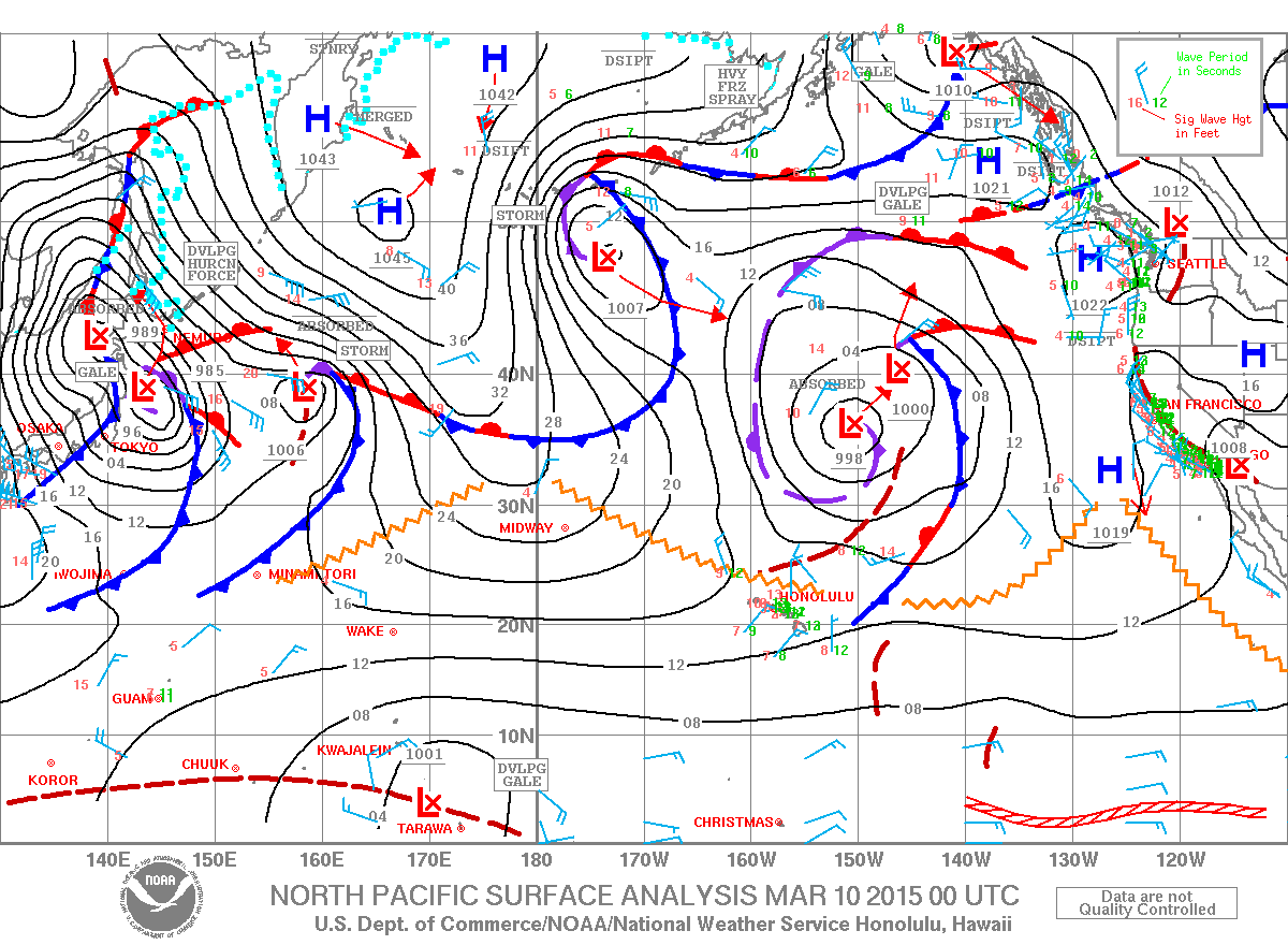
Image: NOAA / NWS
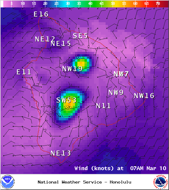
Image: NOAA / NWS
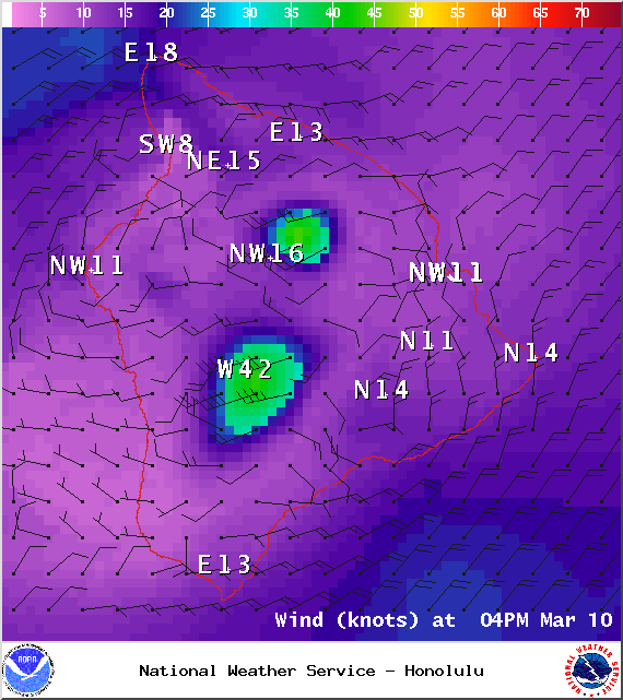
Image: NOAA / NWS
Sponsored Content


