

One Swell Fades as Another Builds
Alerts
A High Surf Advisory is posted from noon today through 6:00 a.m. Tuesday for surf of 10 to 15 feet along north facing shores of the Big Island beginning this afternoon and continuing through Monday night.
A Small Craft Advisory has been issued for Big Island windward waters from noon today through 6:00 a.m. Wednesday for winds up to 25 knots and rough seas from 9 to 14 feet.
**Click directly on the images below to make them larger. Charts include: Big Island projected winds, tides, swell direction & period and expected wave heights.**
 Big Island Surf Forecast
Hilo side: Surf heights are expected about head high. The best breaks open to the swell could see even bigger waves on the sets, especially late in the day.
Kona side: Surf heights are forecasted to be ankle to waist high.
South: Southerly spots open to the wrap could get ankle to waist high waves.
Our current swell is expected to fade today as another swell builds. The same storm system has reorganized in the Gulf of Alaska bringing another shot of surf energy our way. This swell is expected to fill in late Monday. This swell should begin to fade Wednesday into Thursday.
 A few storms are showing up on models expected to bring more waves later this week and into the next. If these storms develop as expected we could see a couple of solid swells headed our way.
Nothing to get excited about out of the SPAC. Possible wind swell starting Tuesday.
Keep in mind, surf heights are measured on the face of the wave from trough to crest. Heights vary from beach to beach, and at the same beach, from break to break.
**Click here for your detailed Big Island weather report.**
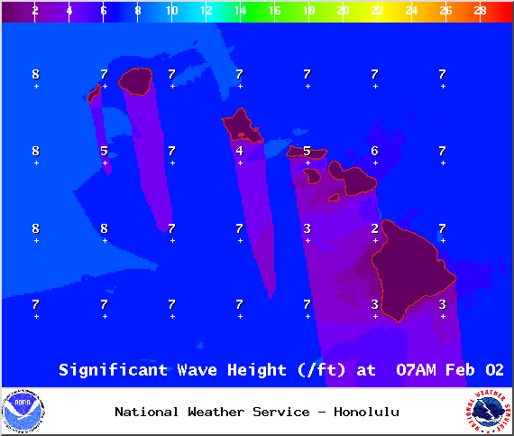
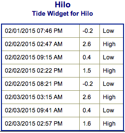
Image: NOAA / NWS
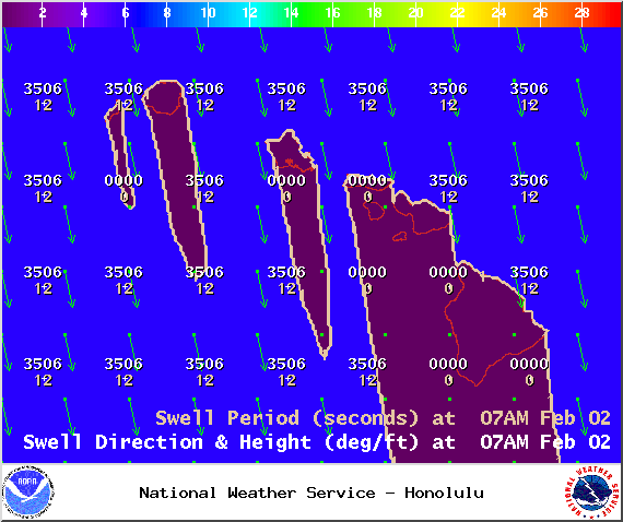
Image: NOAA / NWS
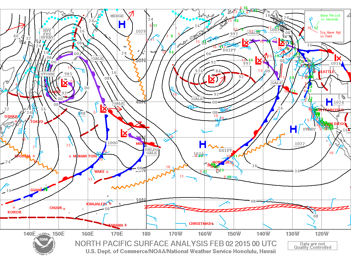
Image: NOAA / NWS
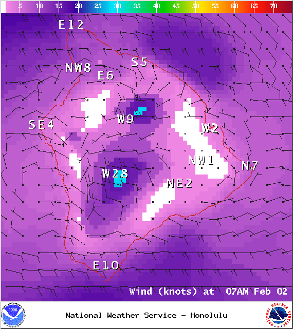
Image: NOAA / NWS
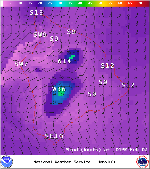
Image: NOAA / NWS
Sponsored Content


