

Hazy Skies, Light Winds as Front Approaches
Alerts
There are no weather alerts posted at this time.
**Click directly on the images below to make them larger. Charts include: Big Island high/low forecasted temperatures, projected winds, chance of cloud cover, projected localized weather conditions, vog/SO2 forecast and expected wave heights.**
Today
We expect variable winds up to 15 mph. That means a local land and sea breeze weather pattern is likely to set up. The Kona side can expect mostly sunny skies in the morning and mostly cloudy skies in the afternoon with the possibility of isolated showers. Windward and southeast Big Island are forecasted to get mostly cloudy skies with scattered showers. High temperatures should fall in the range of 78° to 83°.
Sunrise: 6:56 a.m.
Sunset: 6:11 p.m.
UV index at 8 (“very high” exposure level)
Tonight
Mostly cloudy skies are expected with scattered showers for windward and mauka areas and isolated showers for lee spots. Southwest winds are expected after midnight up to about 15 mph. Low temperatures are forecasted from 66° to 71°.
Moonrise: 1:21 a.m.
Moonset: 2:38 a.m. on Jan. 29
Next Full Moon: 1:09 p.m. on Feb. 3
Next New Moon: 1:47 p.m. on Feb. 18
Looking Ahead
A weak front will bring a slight boost to showers as it passes over the state late in the day Thursday into Friday mainly for south and west facing shores because of the wind direction. Weak trade winds are expected to bring primarily windward and mauka showers to Maui and the Big Island this weekend as the winds swing around and push the moisture back over the eastern part of the state. A stronger front is forecasted to pass over the state Monday evening through Tuesday night followed by another frontal passage Wednesday night into Thursday.
Almanac for Hilo Airport
Maximum Temperature for today:
Normal 79°
Record 87° / Set in 1980 and tied in 1997
Minimum Temperature for today:
Normal 64°
Record 56° / Set in 1980
**Click here for your detailed Big Island surf report.**
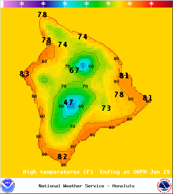
Image: NOAA / NWS
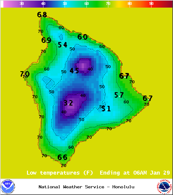
Image: NOAA / NWS
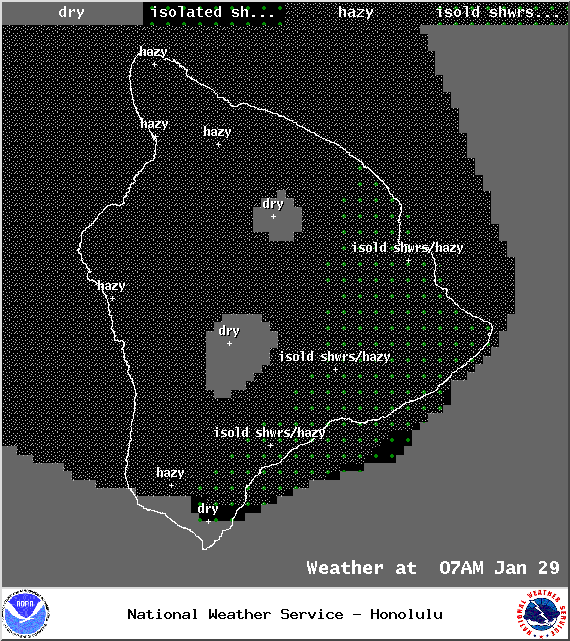
Image: NOAA / NWS
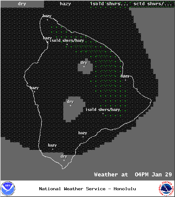
Image: NOAA / NWS
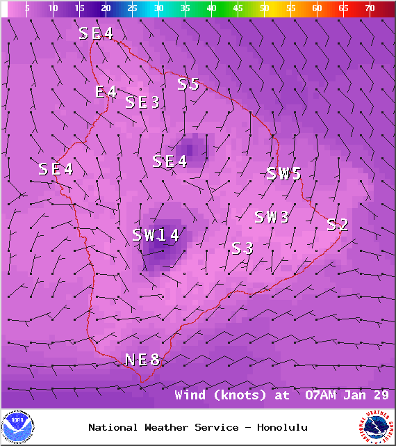
Image: NOAA / NWS
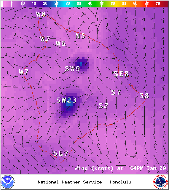
Image: NOAA / NWS
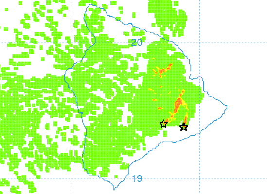
Image: UHSOEST
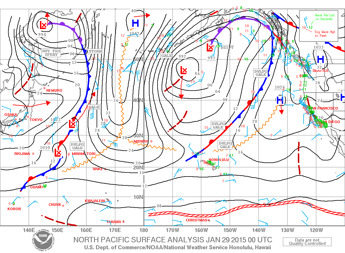
Image: NOAA / NWS
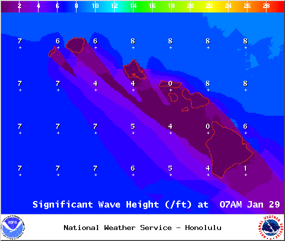
Image: NOAA / NWS
Sponsored Content


