

Light Winds Today as Front Approaches
Alerts
There are no weather alerts posted at this time.
**Click directly on the images below to make them larger. Charts include: Big Island high/low forecasted temperatures, projected winds, chance of cloud cover, projected localized weather conditions, vog/SO2 forecast and expected wave heights.**
Today
We expect variable winds up to 15 mph. That means a local land and sea breeze weather pattern is likely to set up. Mostly cloudy skies are expected in the afternoon with isolated showers. Otherwise, mostly clear skies. High temperatures should fall in the range of 78° to 84°.
Sunrise: 6:56 a.m.
Sunset: 6:10 p.m.
UV index at 8 (“very high” exposure level)
Tonight
Mostly clear skies are expected. Leeward spots will be cloudy to start but clear as the land breeze takes hold. Variable winds up to 15 mph are expected. Low temperatures are forecasted from 66° to 71°.
Moonrise: 1:21 a.m.
Moonset: 2:38 a.m. on Jan. 29
Next Full Moon: 1:09 p.m. on Feb. 3
Next New Moon: 1:47 p.m. on Feb. 18
Looking Ahead
Weakening trade winds will turn southeasterly on Wednesday, as a weak front approaches from the west. This front is expected to bring some showers and light winds to the islands Thursday and Friday, then light northeasterly trades will fill back on over the weekend. Moisture is expected to linger near the Big Island for the weekend. A stronger front may approach the islands early next week.
Almanac for Hilo Airport
Maximum Temperature for today:
Normal 79°
Record 92° / Set in 1997
Minimum Temperature for today:
Normal 64°
Record 57° / Set in 2007
**Click here for your detailed Big Island surf report.**
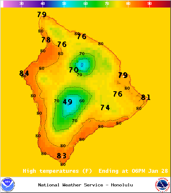
Image: NOAA / NWS
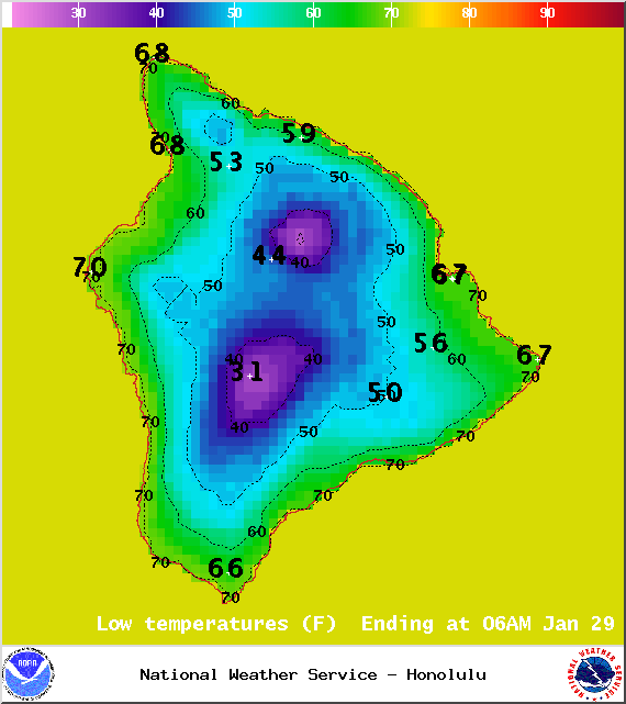
Image: NOAA / NWS
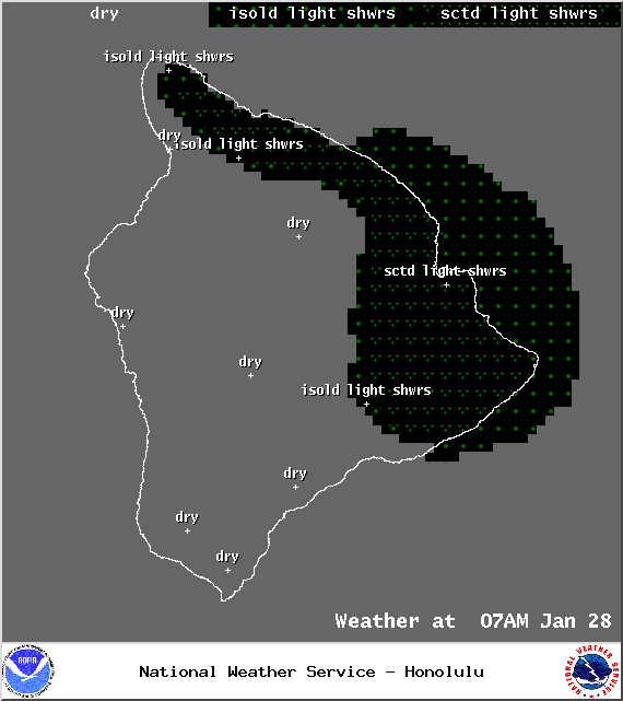
Image: NOAA / NWS

Image: NOAA / NWS
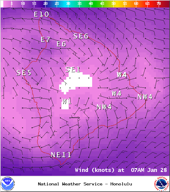
Image: NOAA / NWS
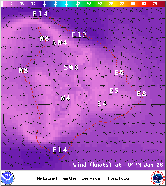
Image: NOAA / NWS
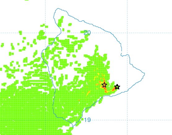
Image: UHSOEST
Image: NOAA / NWS
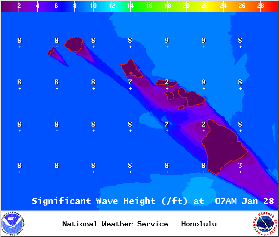
Image: NOAA / NWS
Sponsored Content


