

One Swell Fades as Another Begins to Build
Alerts
A Small Craft Advisory has been issued for the ʻAlenuihāhā channel and Big Island southeast and leeward waters through 6:00 a.m. Tuesday for winds up to 25 knots and rough seas up to 12 feet.
**Click directly on the images below to make them larger. Charts include: Big Island projected winds, tides, swell direction & period and expected wave heights.**
 Big Island Surf Forecast
Hilo side: Surf heights are expected waist to chest high. The best breaks open to the swell could see waves up to shoulder or head high on the sets. Onshore winds expected.
Kona side: Surf heights are forecasted to be knee to waist high.
South: Southerly spots open to the west-northwest swell could get waves wrapping knee to waist high. Breaks open to the trade swell could see waist to shoulder high waves.
Our current swell continues to fade through Tuesday.
 A new storm that developed off of Japan, will bring another solid west-northwest swell for the islands. The Big Island is heavily shadowed from this swell but surf heights are still expected to get up to chest or shoulder high by Wednesday afternoon and into Thursday. This same storm could bring us a reinforcing swell for the weekend.
Nothing to get excited about out of the SPAC.
Keep in mind, surf heights are measured on the face of the wave from trough to crest. Heights vary from beach to beach, and at the same beach, from break to break.
**Click here for your detailed Big Island weather report.**
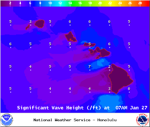
Image: NOAA / NWS

Image: NOAA / NWS

Image: NOAA / NWS
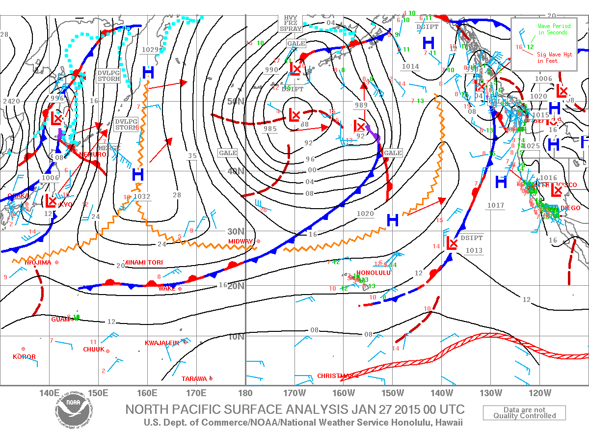
Image: NOAA / NWS
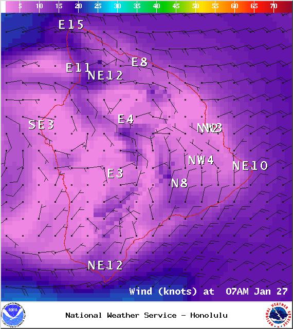
Image: NOAA / NWS
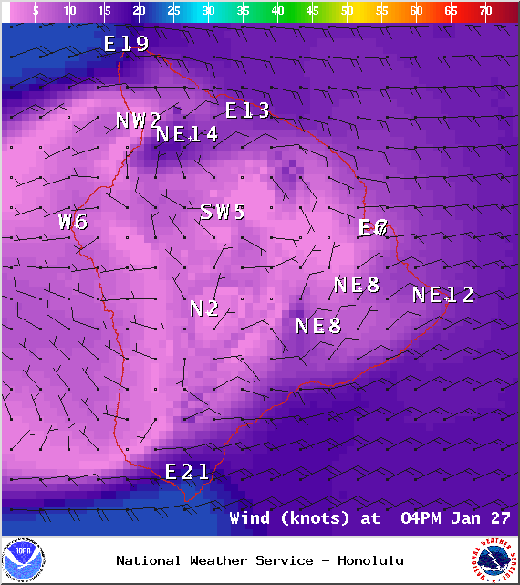
Image: NOAA / NWS
Sponsored Content


