

Sunshine and Breezy Winds Expected Today
Alerts
A Small Craft Advisory is posted for all Big Island waters through 6:00 p.m. Wednesday for north winds up to 25 knots with higher gusts. Rough seas of 9 to 14 feet are also forecasted late tonight through Wednesday afternoon. Inexperienced mariners should avoid navigating in these conditions.
A High Surf Advisory is posted for north facing shores from 6:00 p.m. this evening through 6:00 a.m. Thursday for a north swell building tonight and peaking Wednesday before gradually diminishing. Expect strong breaking waves, shore break and strong longshore and rip currents making swimming difficult and dangerous.
A Wind Advisory is posted for the summits of Mauna Kea and Mauna Loa through noon Wednesday for northwest to north winds from 35 to 50 mph with higher gusts. Winds will be strongest over the highest elevations and summit peaks mainly above 11,000 feet. The National Weather Service advises that winds this strong can make walking and driving difficult. Use extra caution when driving and be careful when opening and closing doors. If camping in the area, be sure your tent is well anchored.
**Click directly on the images below to make them larger. Charts include: Big Island high/low forecasted temperatures, projected winds, chance of cloud cover, projected localized weather conditions, vog/SO2 forecast and expected wave heights.**
Today, Wednesday, January 7, 2015
Today we expect sunny skies and mostly dry conditions. Hazy skies are expected in the afternoon for parts of the Big Island (see UHSOEST vog model above). High temperatures should fall in the range of 76° to 81°. Breezy northeast winds are expected from 15 to 25 mph.
Sunrise: 6:56 a.m.
Sunset: 5:57 p.m.
UV index at 7 (“high” exposure level)
Tonight
Mostly clear skies are in the forecast tonight with just isolated shower for windward areas after midnight. Northeast winds are expected around 15 mph. Low temperatures are forecasted from 65° to 70° degrees.
Moonrise: 8:27 p.m.
Moonset: 9:17 a.m. on Jan. 8
Next New Moon: Jan. 20 at 3:14 a.m.
Next Full Moon: 1:09 p.m. on Feb. 3
Looking Ahead
A very dry weather pattern is expected over the islands through the rest of this week and into the weekend. Breezy northeast are expected on Wednesday. Winds will veer easterly Wednesday night and weaken on Thursday. Light southeast flow will then prevail into the weekend resulting in land and sea breezes over the islands and periods of vog and haze. Rainfall will be almost nonexistent Wednesday, with a very gradual increase in moisture towards the end of the week. Temperatures will also gradually warm through the rest of the week.
Almanac for Hilo Airport
Maximum Temperature for today:
Normal 79°
Record 91° / Set in 1979
Minimum Temperature for today:
Normal 64°
Record 58° / Set in 1980
**Click here for your detailed Big Island surf report.**
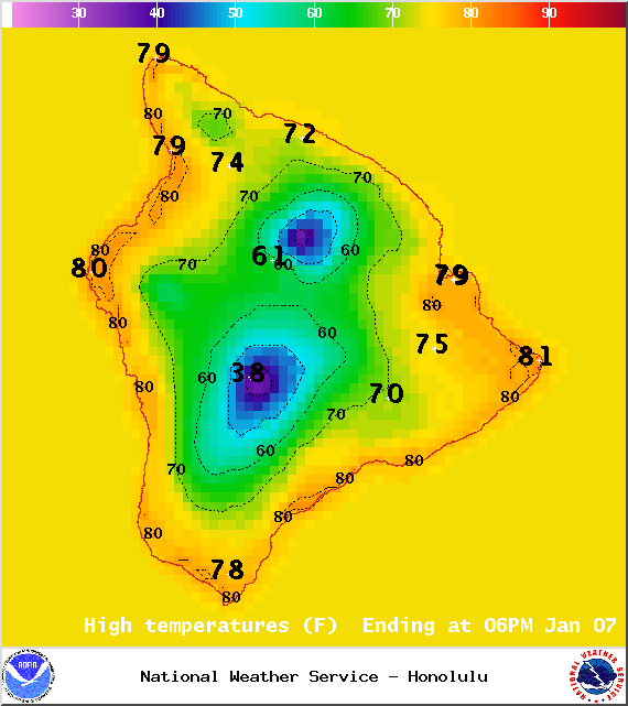
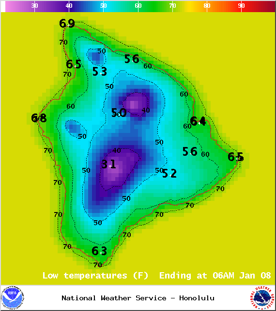
Image: NOAA / NWS
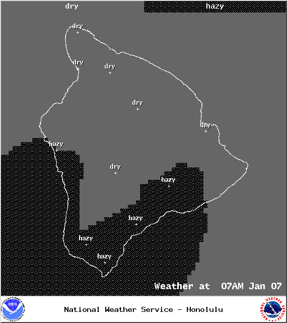
Image: NOAA / NWS
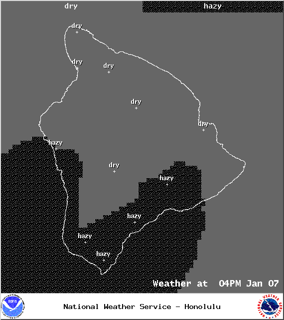
Image: NOAA / NWS
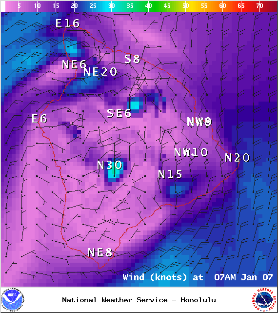
Image: NOAA / NWS
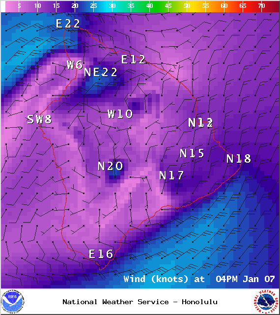
Image: NOAA / NWS
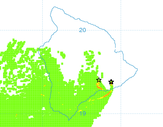
Image: UHSOEST
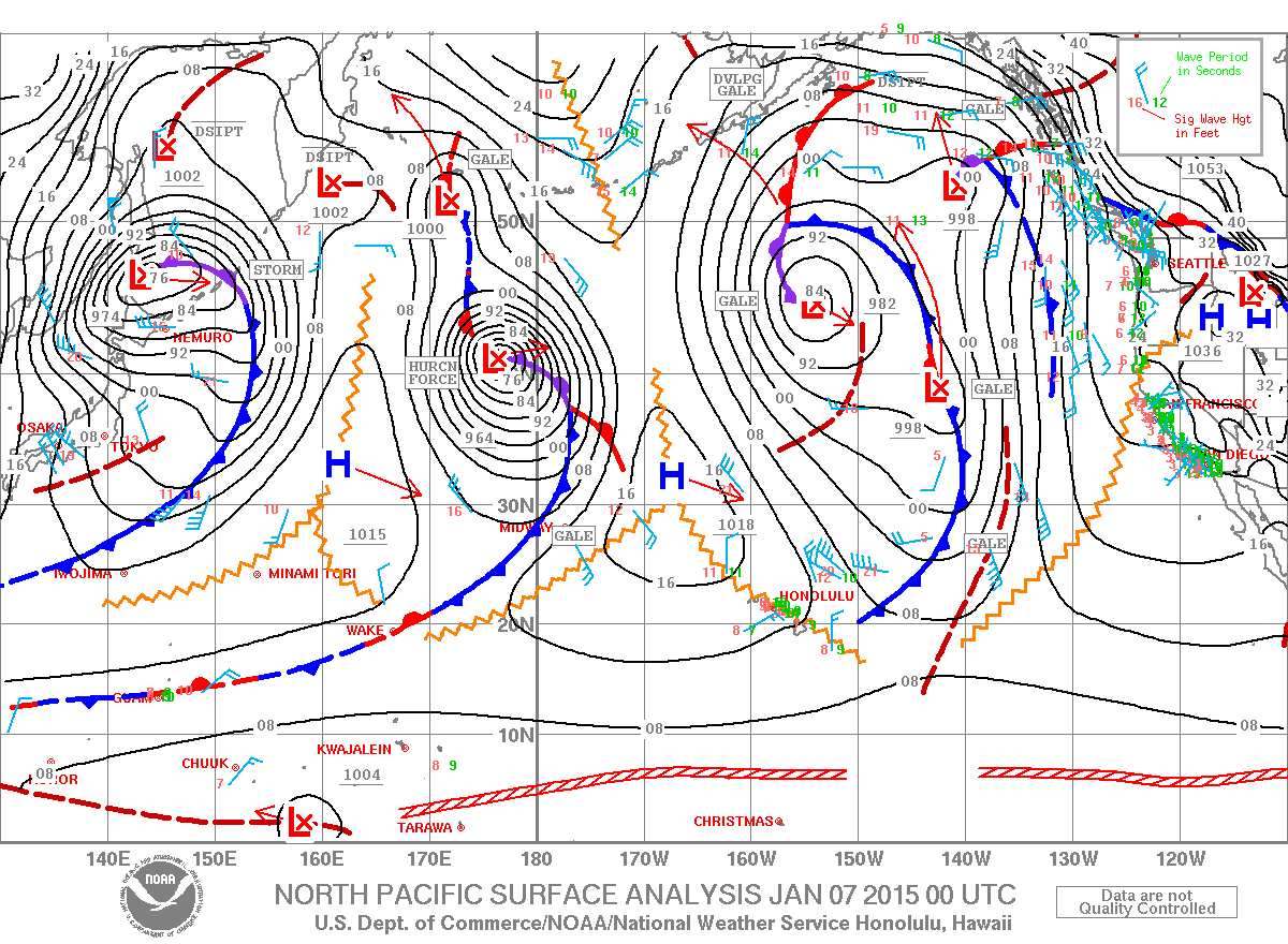
Image: NOAA / NWS
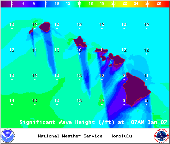
Image: NOAA / NWS
Sponsored Content


