

New Swell Expected on New Year’s Eve
Alerts
A Small Craft Advisory is posted for all Big Island windward coastal waters and the Alenuihaha channel from 6:00 a.m. Tuesday Dec. 30, 2014 to 6:00 a.m. Wednesday Dec. 31, 2014. Winds are expected out of the northeast from 20 to 30 knots with higher gusts with rough seas rising to 8 to 14 feet.
**Click directly on the images below to make them larger. Charts include: Big Island projected winds, tides, swell direction & period and expected wave heights.**
Big Island Surf Forecast, Tuesday, December 30
Hilo side: Surf heights are expected from waist to about head high at the best breaks along the Hamakua coast. The swells are fading so waves will be larger earlier in the day.
Kona side: Surf heights expected from ankle to about knee high.
South: Surf is knee to waist high for exposures open to the trade swell. Ankle to knee high (at best) everywhere else.
Our current mix of north and northwest swells continues to fade. Surf heights will drop throughout the day.
We expect a boost of surf energy out of the northwest Wednesday and through the end of the week. Energy lingers into the weekend as it fades out. Since the energy is coming from several directions, it will be a bit haphazard at times.
New overlapping swells are expected for the weekend and beyond for north and west shores. Still pending development of storms. Will keep an eye on it.
Nothing of note out of the SPAC to get excited about.
Keep in mind, surf heights are measured on the face of the wave from trough to crest. Heights vary from beach to beach, and at the same beach, from break to break.
**Click here for your detailed Big Island weather report.**
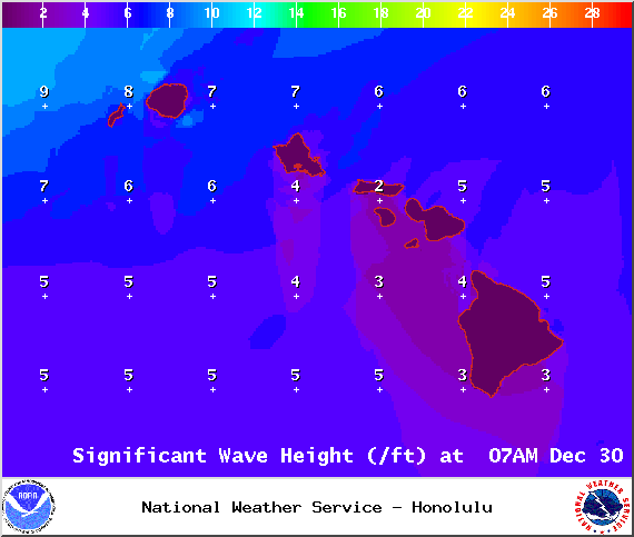
Image: NOAA / NWS
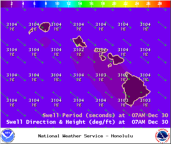
Image: NOAA / NWS
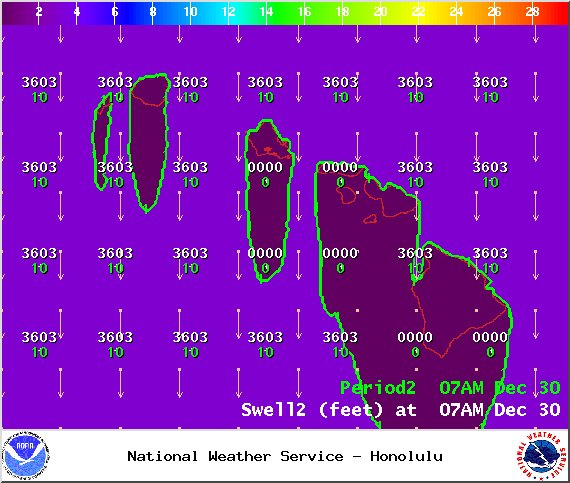
Image: NOAA / NWS
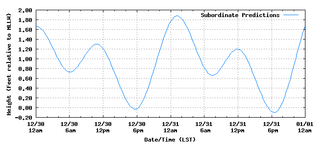
Kona tides / Image: NOAA
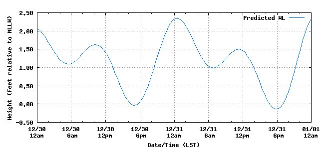
Hilo tides / Image: NOAA
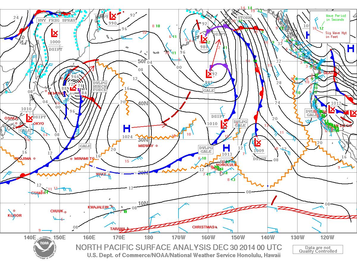
Image: NOAA / NWS
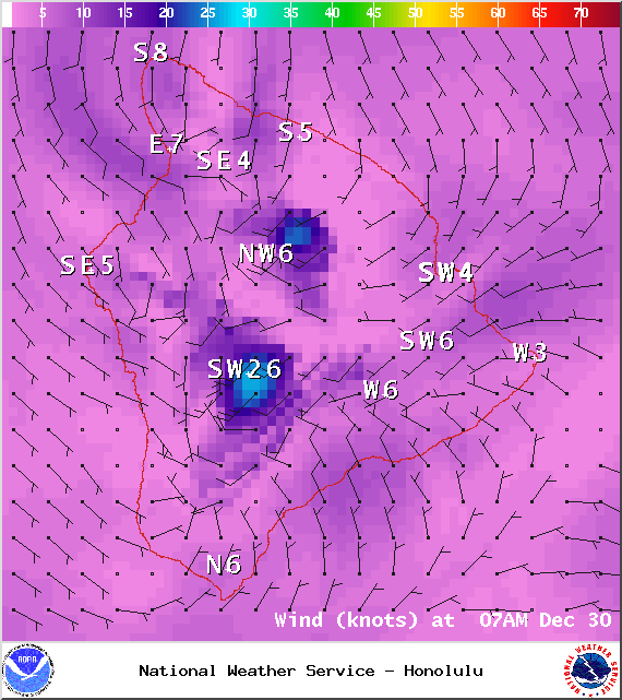
Image: NOAA / NWS
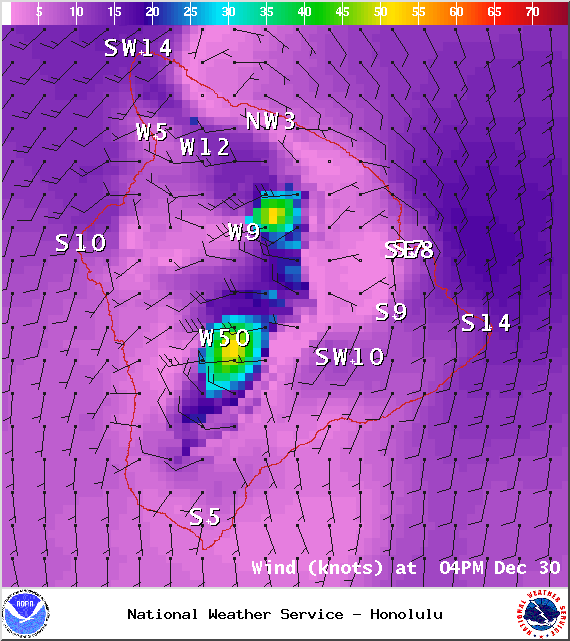
Image: NOAA / NWS
Sponsored Content


