

Mix of Swells Expected Today
Alerts
The Small Craft Advisory has been extended for Big Island windward waters and the Alenuihaha channel through 6:00 p.m. Thursday. Winds of 15 to 20 knots are expected and rough seas from 6 to 12 feet.
**Click directly on the images below to make them larger. Charts include: Big Island projected winds, tides, swell direction & period and expected wave heights.**
 Big Island Surf Forecast, Thursday, December 25
Hilo side: Surf heights are expected from chest to head high or overhead at the best breaks along the Hamakua coast. Surf is forecasted to be a bit sloppy.
Kona side: Surf heights expected about chest to head high or more at the best breaks on the sets.
South: Surf is waist to chest high for exposures open to the trade swell.
 Another shot of surf energy out of the north-northwest is forecasted to combine with northeast wind swell on Christmas Day. As mentioned above the surf is expected to be a bit sloppy for the Hamakua coast, however they will be better for the Kona side especially early in the day.
A new northwest is forecasted for late Saturday into Sunday with a reinforcement on tap for Monday.
Super small trace amounts of swell expected out of the SPAC. Not much to get excited about.
Keep in mind, surf heights are measured on the face of the wave from trough to crest. Heights vary from beach to beach, and at the same beach, from break to break.
**Click here for your detailed Big Island weather report.**
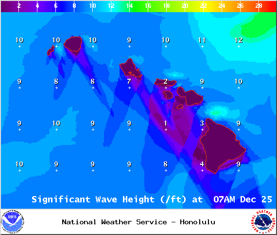
Image: NOAA/NWS

Image: NOAA/NWS

Image: NOAA/NWS
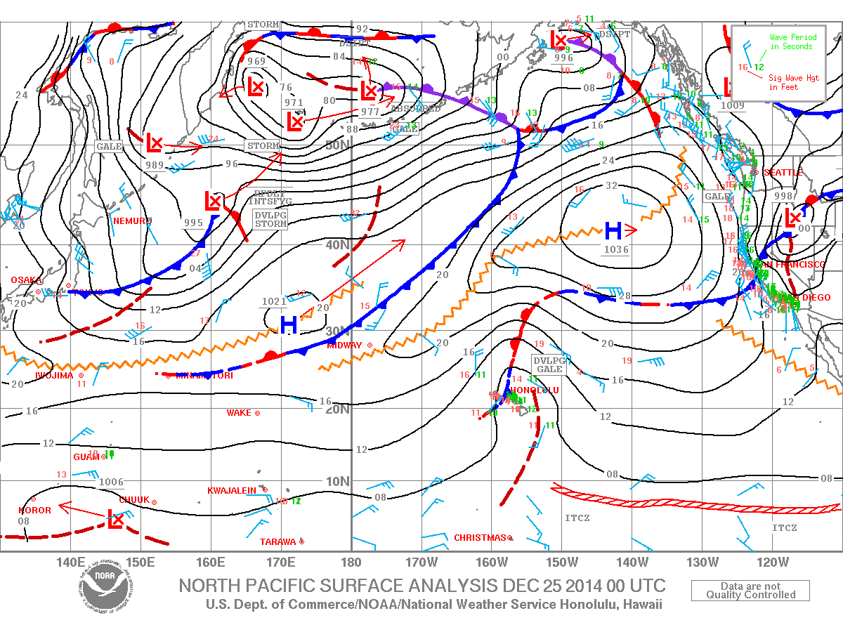
Image: NOAA/NWS
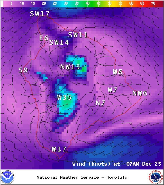
Image: NOAA/NWS

Image: NOAA/NWS
Sponsored Content


