

NNW Fades Over the Weekend, South Flat
Alerts
No ocean advisories are posted at this time.
**Click directly on the images below to make them larger. Charts include: Big Island projected winds, tides, swell direction & period and expected wave heights.**
 Big Island Surf Forecast, Saturday November 15, 2014
Hilo side: Surf is expected shoulder high to slightly overhead. The best breaks could see up to 10 foot faces early in the day.
Kona side: Breaks not exposed to the swells will be flat today. Spots that catch some of the north-northwest wrap could see waves knee to waist high.
South: Waves expected waist high or less.
Our current north-northwest swell (325-350°) is fading through the weekend.
 The swell is still showing best on the Hilo side and along the Hamakua coast up to Kohala. The Kona side is again heavily shadowed but is still expected to get a small portion of the swell energy to wrap.
The next swell on the horizon is expected to arrive late Monday. A storm near the Aleutians is expected to develop and generate the new north-northwest swell (330-350°). If so, we could see another round of overhead to double overhead surf for the best breaks along the Hamakua coast.
There’s potential for another swell out of the west-northwest for the later part of next week and a series of swells through the last week of November.
Super small trace amounts of swell expected out of the SPAC. Most Kona spots will remain flat. There isn’t much on the horizon out of the South Pacific.
Keep in mind, surf heights are measured on the face of the wave from trough to crest. Heights vary from beach to beach, and at the same beach, from break to break.
**Click here for your detailed Big Island weather report.**
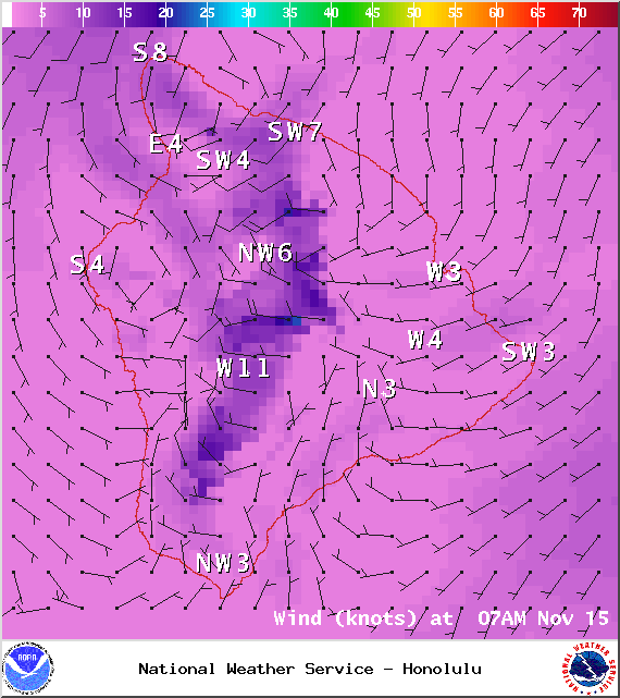
Image: NOAA / NWS
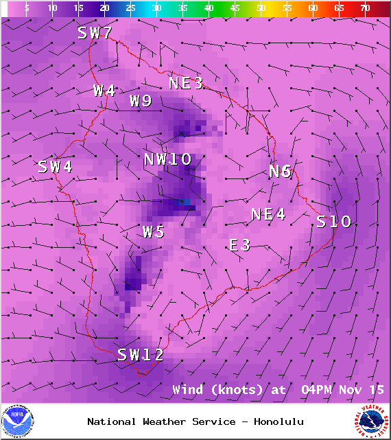
Image: NOAA / NWS
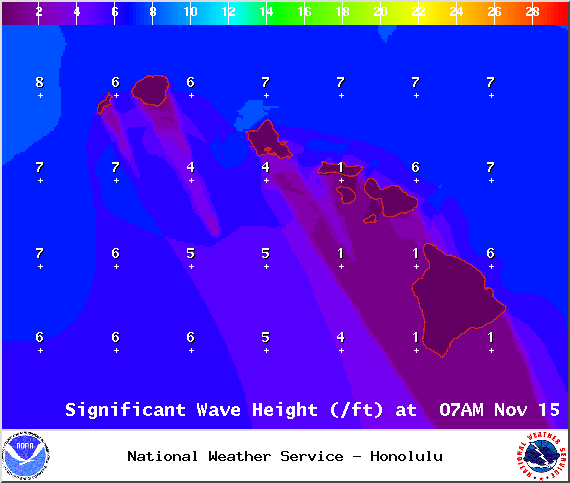
Image: NOAA / NWS

Image: NOAA / NWS

Image: NOAA / NWS
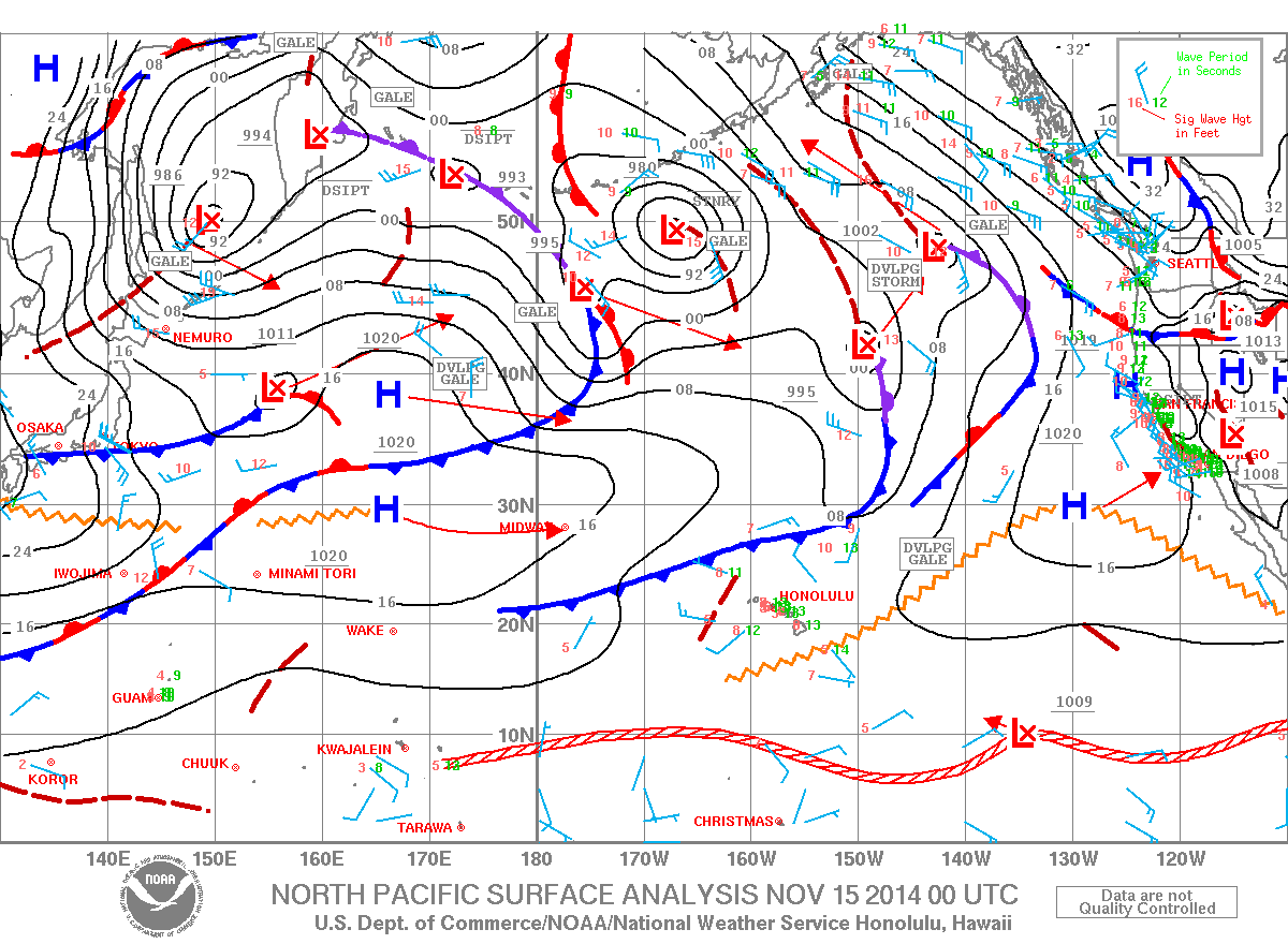
Image: NOAA / NWS
Sponsored Content


