Marine Weather Statement: North swell could result in surges for north-facing harbors including Hilo.
Small Craft Advisory: ʻAlenuihāhā channel due to northeast winds of 25 knots. Posted through Monday at 6 a.m.
Check our breaking news section for any urgent weather alerts or updates to the weather alerts listed above.
ARTICLE CONTINUES BELOW AD
ARTICLE CONTINUES BELOW AD
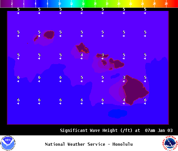
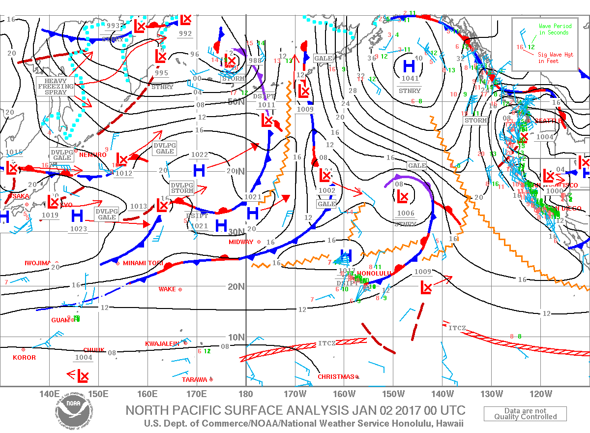
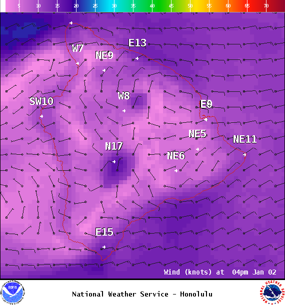
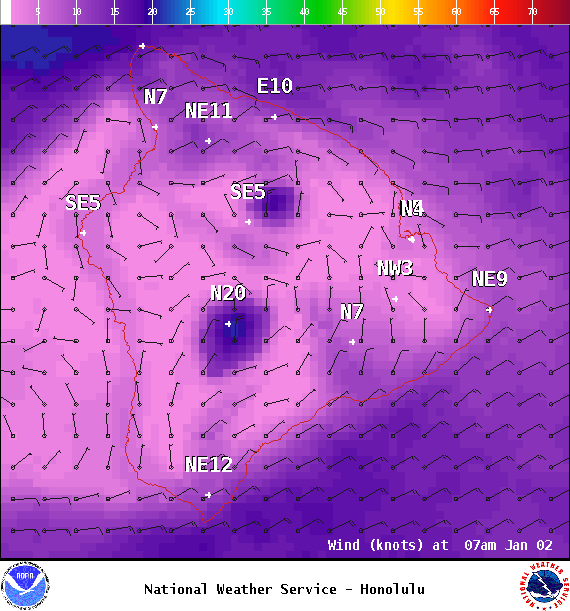
**Click directly on the images below to make them larger. Charts include: Big Island projected winds, tides, swell direction & period and expected wave heights.**
+
SWIPE LEFT OR RIGHT
Big Island Surf Forecast
ARTICLE CONTINUES BELOW AD
Hilo side: Wave heights are forecast to be shoulder/head high today for the best breaks.
Kona side: Wave heights are expected to be ankle/knee high today. Wrap from the north-northwest could get up to knee/waist high.
South: Wave heights are expected to be down to leftovers today and below waist high. Wrap from the north-northwest could get up to knee/waist high for the best exposures.
Our current south-southwest swell is expected to linger Monday. A fun bump is on the horizon for the 3rd and 4th, then slowly fading through the rest of the work week.
ARTICLE CONTINUES BELOW AD
Our current mix of northeast and northwest swells continue to affect the Hilo side and wrap a bit into some Kona side spots. This swell should drop a bit on Tuesday. A west-northwest is forecast to filter in Wednesday and peak in the afternoon. The swell should hold into Thursday morning before slowly fading.
Keep in mind, surf heights are measured on the face of the wave from trough to crest. Heights vary from beach to beach, and at the same beach, from break to break.
This comments section is a public community forum for the purpose of free expression. Although Big Island Now encourages respectful communication only, some content may be considered offensive. Please view at your own discretion. View Comments


 Big Island Surf Forecast
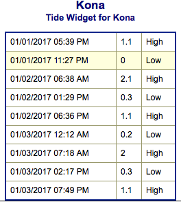 Our current south-southwest swell is expected to linger Monday. A fun bump is on the horizon for the 3rd and 4th, then slowly fading through the rest of the work week.