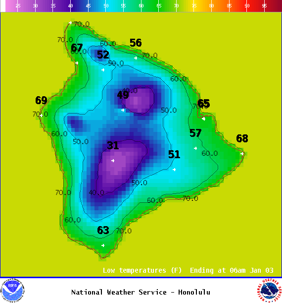
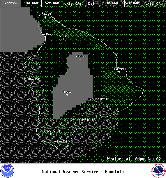
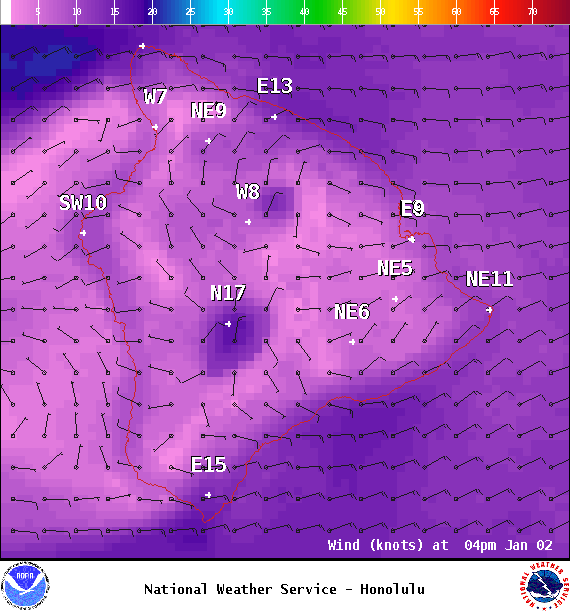
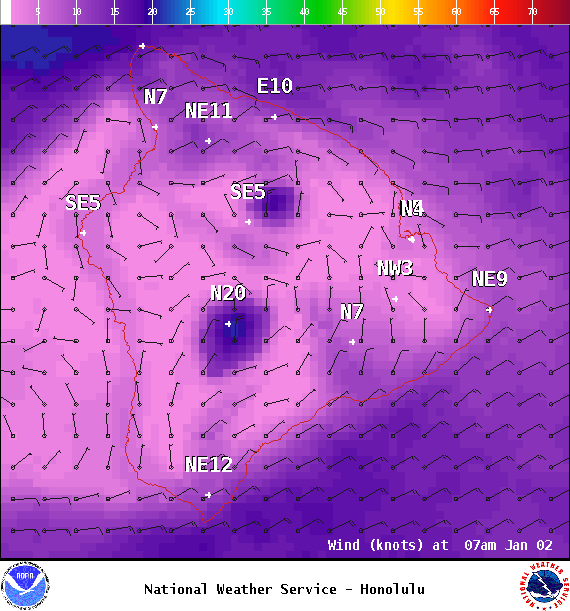
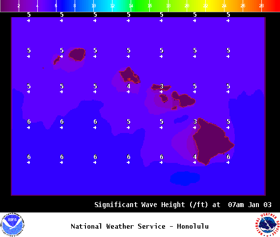
**Click directly on the images below to make them larger. Charts include: Big Island high/low forecasted temperatures, projected winds, chance of cloud cover, projected localized weather conditions, vog/SO2 forecast and expected wave heights.**
+
SWIPE LEFT OR RIGHT
Looking Ahead
Moisture along a stalled and dissipating front will continue to bring wet conditions for windward areas in Maui County and the Big Island. Another weak cold front is forecast to move slowly down the island chain Wednesday through Friday. Cool northerly winds will fill in behind the front.
ARTICLE CONTINUES BELOW AD
Today
Mostly cloudy skies are expected today with showers likely for windward and mauka spots. Hazy for the Kona side with partly cloudy skies and scattered afternoon showers. High temperatures from 78° to 83°. Winds will be northeast around 15 mph.
UV index at 5 (“moderate” exposure level)
ARTICLE CONTINUES BELOW AD
Tonight
Northeast winds are forecast 10 to 15 mph. Mostly cloudy skies with scattered showers for windward spots and clearing skies for the Kona side. Low temperatures from 65° to 70°.
This comments section is a public community forum for the purpose of free expression. Although Big Island Now encourages respectful communication only, some content may be considered offensive. Please view at your own discretion. View Comments