

Mixed Bag of Weather Today
Alerts
A High Surf Advisory is in effect for the Kona side of the island through 6:00 a.m. Thursday. The National Weather Service is calling for wave heights of 6 to 10 feet. Expect strong breaking waves, shore break and strong longshore and rip currents making swimming difficult and dangerous.
A Small Craft Advisory is posted for the Alenuihaha channel and leeward / south waters of the Big Island through 6:00 p.m. Wednesday.
**Click directly on the images below to make them larger. Charts include: Big Island high/low forecasted temperatures, projected winds, chance of cloud cover, projected localized weather conditions, vog/SO2 forecast and expected wave heights.**
Today
Today windward spots are expected to be partly sunny with morning showers. The Kona side is forecasted to get morning sunshine and afternoon cloud cover. Breezy trade winds are forecasted from 15 to 25 mph. High temperatures should fall in the range of 79° to 84°.
UV index at 9 (“very high” exposure level)
Tonight
Mostly cloudy skies are expected on the windward side and showers are likely. Leeward spots will get partly cloudy skies and isolated showers in the early evening, clearing as the night goes on. Trade winds are forecasted from 10 to 20 mph. Low temperatures from 67° to 72° are expected.
Next Full Moon: 8:06 a.m. on Mar. 5
Looking Ahead
Locally breezy trade winds are forecasted through Wednesday before decreasing in strength Thursday and Friday. The trade winds will deliver clouds and showers to windward areas, with a few quick showers pushing over to leeward areas overnight. Thursday into the weekend we expect lighter winds and wetter weather.
Our Big Island Now Weather homepage always includes daily: Sunrise | Sunset | Moonrise | Moonset | Moon Phase | Live Weather Cams | 5-day Forecast | Current Temperature & Conditions
**Click here for your detailed Big Island surf report.**

Image: NOAA / NWS

Image: NOAA / NWS

Image: NOAA / NWS

Image: NOAA / NWS
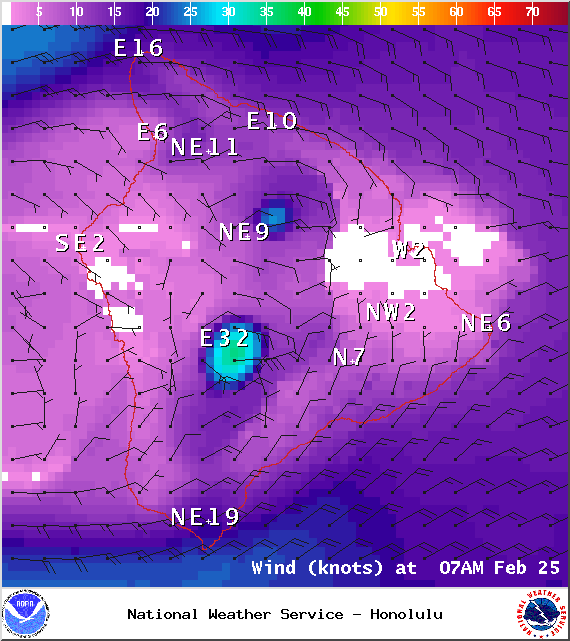
Image: NOAA / NWS

Image: NOAA / NWS

Image: UHSOEST
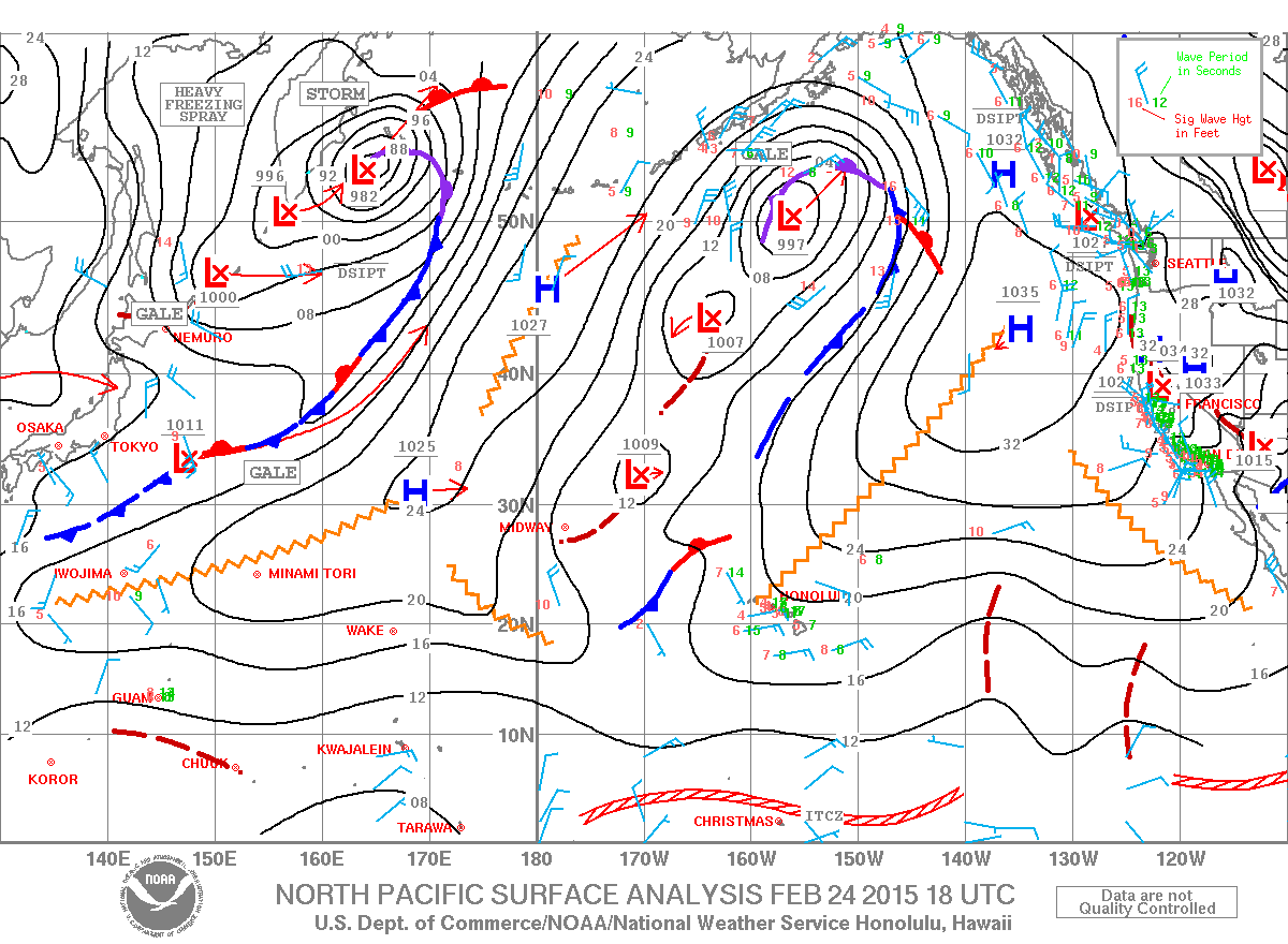
Image: NOAA / NWS
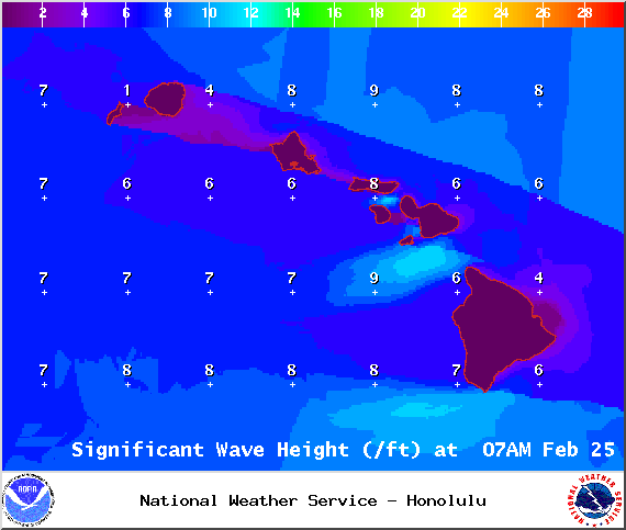
Image: NOAA / NWS
Sponsored Content


