

New Crack Found on West Side of Pu‘u O‘o
The United States Geological Survey reported that starting at about 2 p.m. on Monday, April 30, 2018, marked increases in seismicity and ground deformation indicated that a change was underway at Pu‘u ‘Ō‘ō on Kīlauea Volcano’s East Rift Zone.
Visibility was nearly obscured due to poor weather conditions, but a brief clearing allowed Hawaiian Volocano Observatory’s webcam (POcam) to capture this image of the crater within Pu‘u ‘Ō‘ō shortly before the crater floor began collapsing.
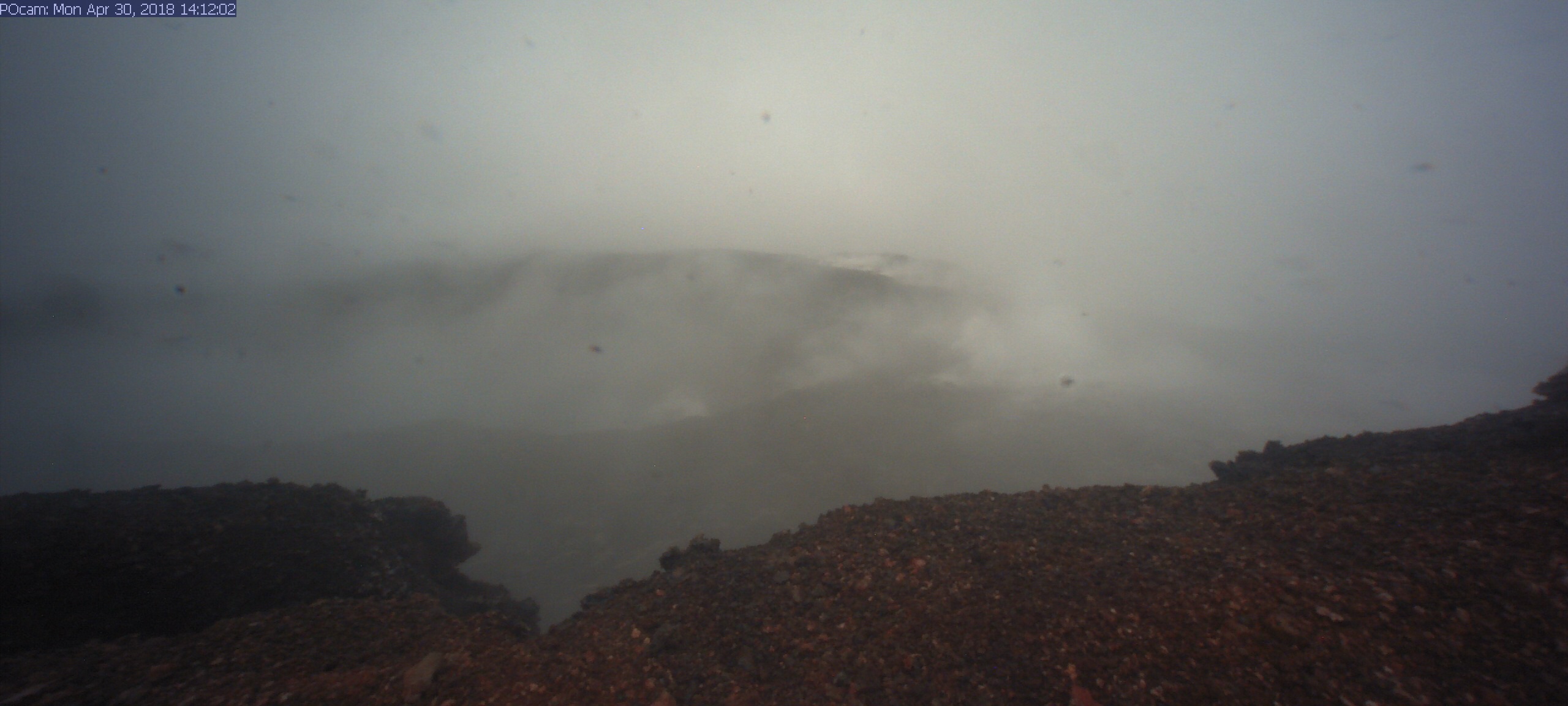
Unfortunately, due to ongoing poor weather, a clear view of the collapsed crater floor has not yet been possible. The Pu‘u ‘Ō‘ō crater floor continued to collapse for several hours yesterday; smaller drops in the crater floor have likely continued through today (May 1) based on thermal images. PC: USGS.
A new crack about .6 miles long was found on the west (uprift) side of Pu‘u ‘Ō‘ō during HVO’s overflight today. The cracking appeared to be nearly continuous en echelon structures that were heavily steaming.
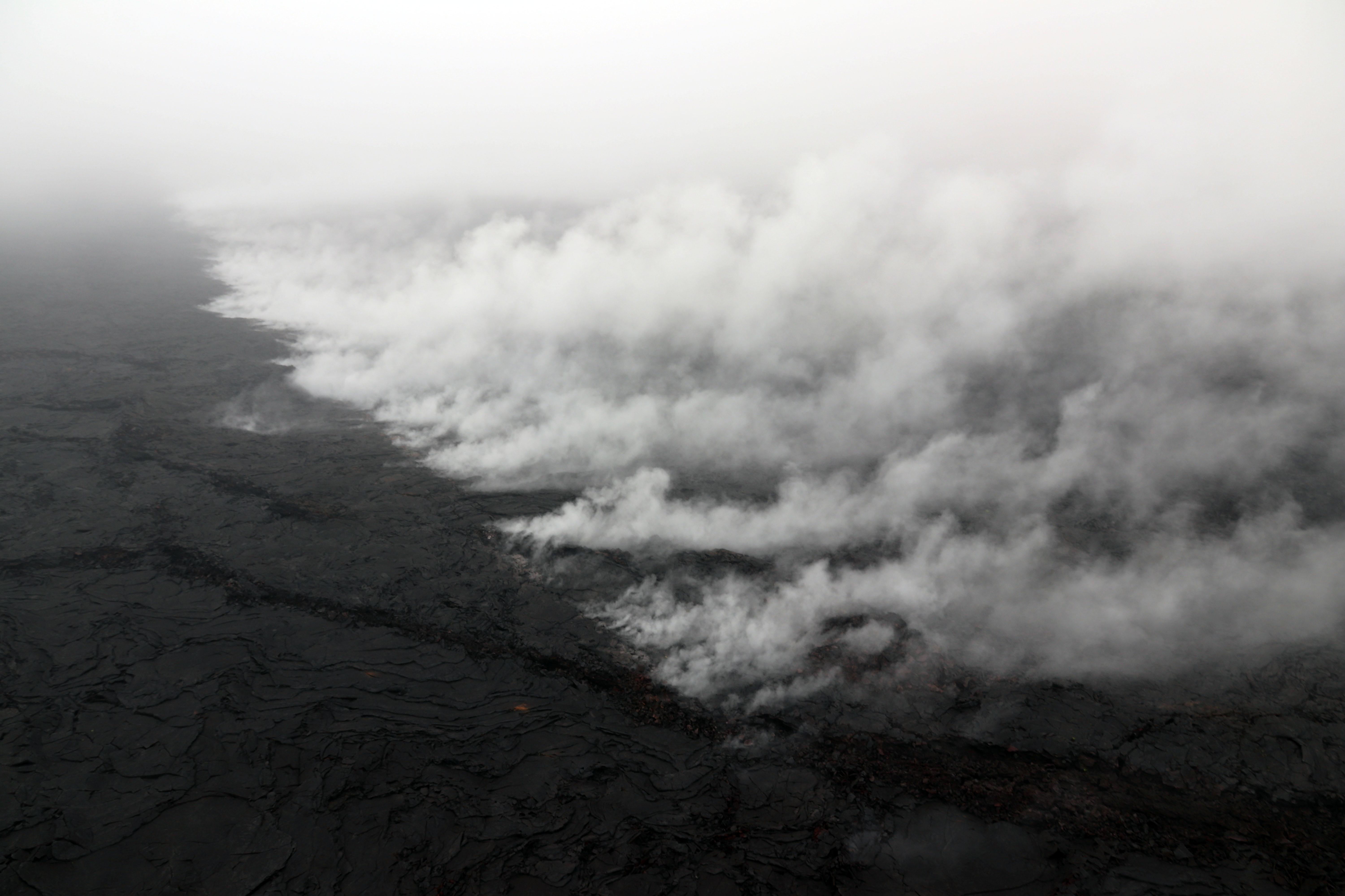
A small amount of lava was apparently erupted from the crack, based on the presence of nearby tiny pads of lava and spatter, but it was no longer active when HVO geologists saw it during the overflight. This photo looks east, with Pu‘u ‘Ō‘ō obscured by low clouds in the upper left corner. PC: USGS.
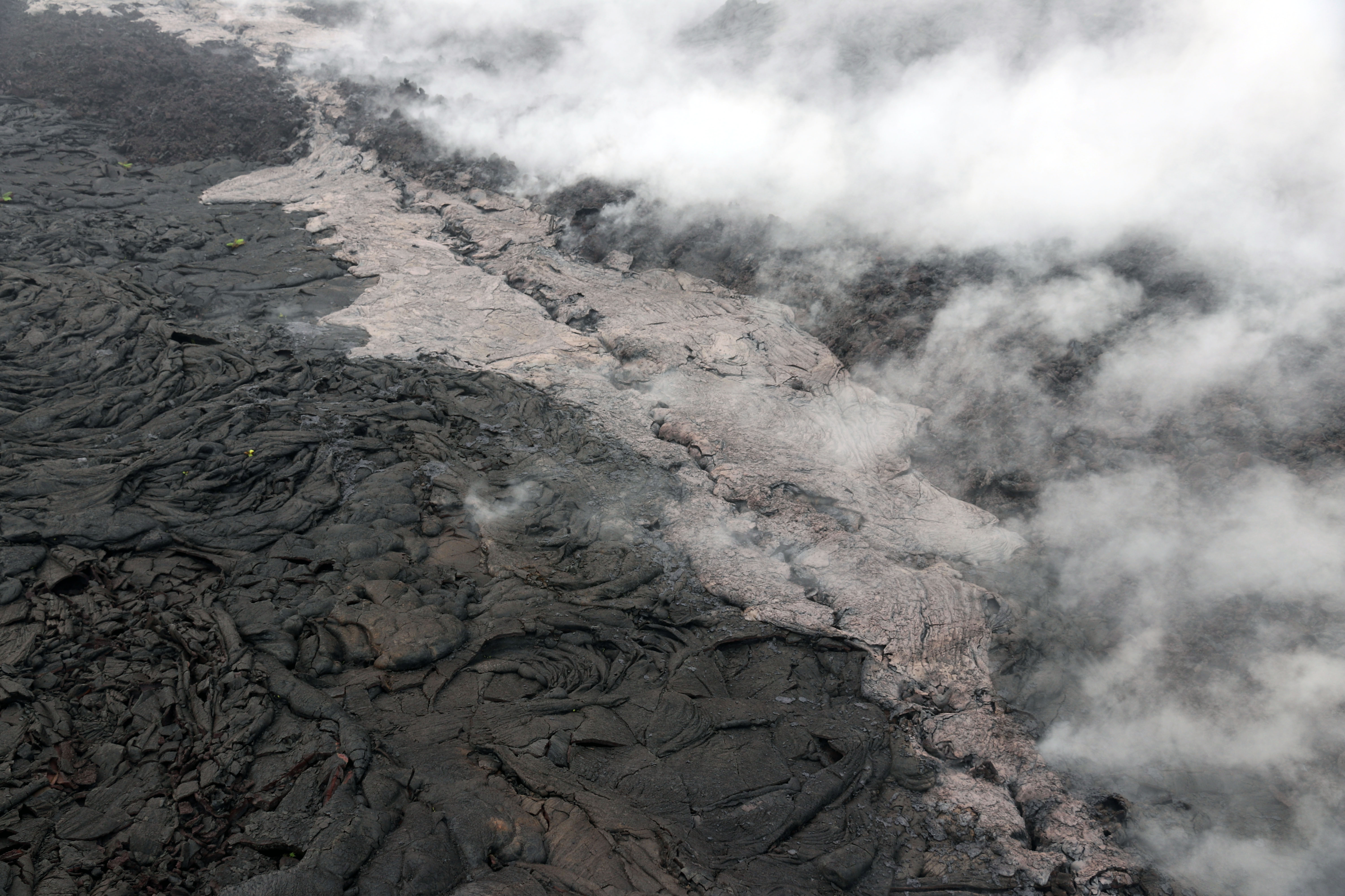
Telephoto view of a small lava flow (lighter in color) and spatter (blue-gray) that were erupted from a section of the crack on the west flank of Pu‘u ‘Ō‘ō. PC: USGS.
Within hours of the Pu‘u ‘Ō‘ō crater floor collapse, HVO’s monitoring instruments recorded increased seismicity and ground deformation along Kīlauea Volcano’s East Rift Zone (ERZ) that continued through the night.

These signals indicated an intrusion of magma from the Middle ERZ toward the Lower ERZ, extending from Pu‘u ‘Ō‘ō to at least Highway 130. This illustration shows the approximate area of Kīlauea’s East Rift Zone, which, in reality, is not defined by distinct lines. MC: USGS.
As of Tuesday, May 1, the eruption at the summit of Kīlauea has apparently not been affected by the collapse at Pu‘u ‘Ō‘ō or intrusion of magma along the volcano’s Lower East Rift Zone.
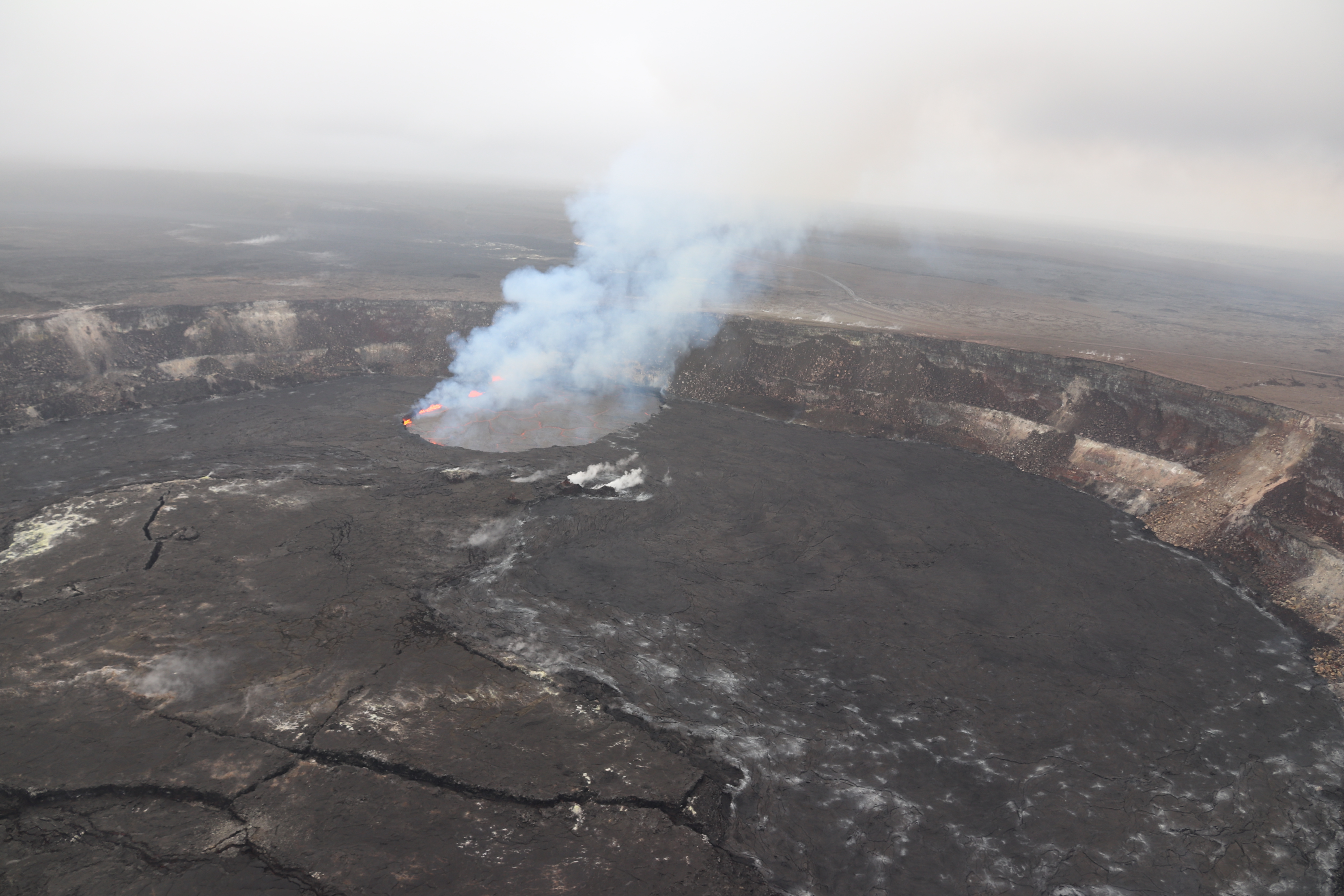
Following multiple overflows of the summit lava lake on April 21 and 27, which spilled lava onto the floor of Halema‘uma‘u, the lava lake level dropped over the weekend (April 28 and 29). But on the morning of April 30, the lava lake level began to rise in concert with summit inflation. This image of the summit lava lake was taken during HVO’s overflight just before 8 a.m. today, May 1, 2018. PC: USGS.
Sponsored Content


