New WNW Swell Fills in Today
Alerts (as of 1:00 a.m.)
There are no weather alerts posted at this time.
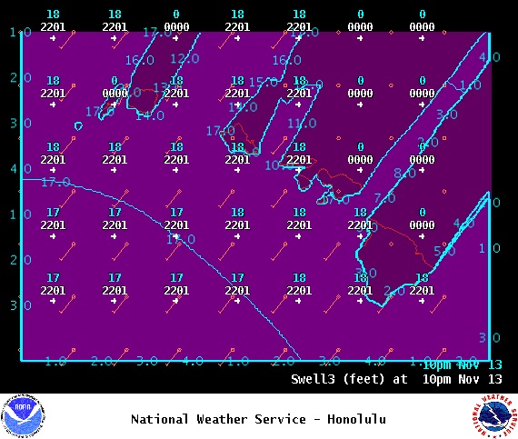
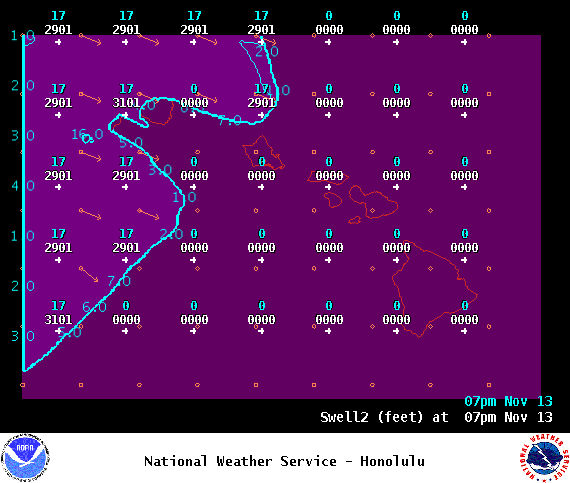
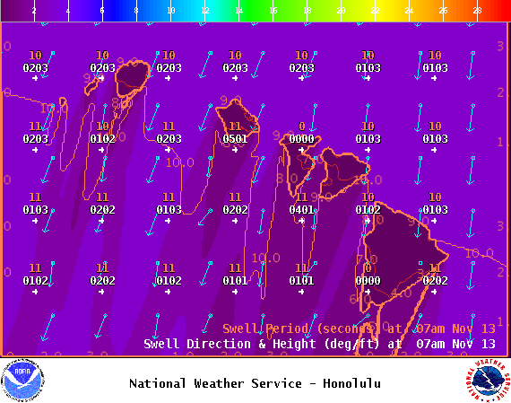
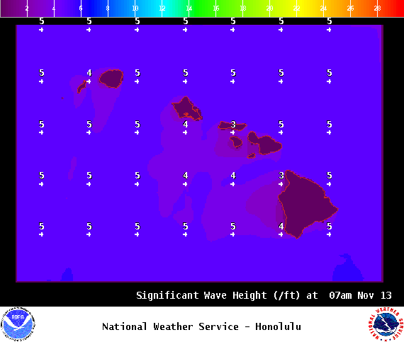
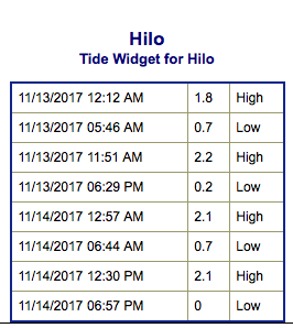
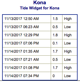
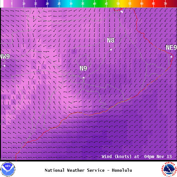
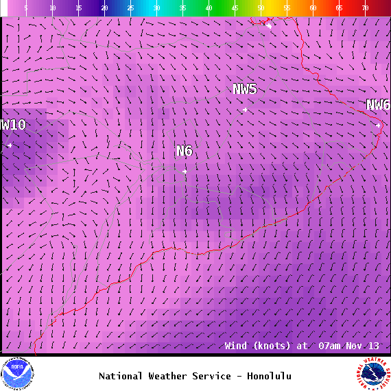
**Click directly on the images below to make them larger. Charts include: Big Island projected winds, tides, swell direction & period and expected wave heights.**
Big Island Surf Forecast
Hilo side: Wave heights knee/shoulder high today.
Kona side: Wave heights pretty flat today with some traces of south.
South: Wave heights pretty flat today with some traces of south.
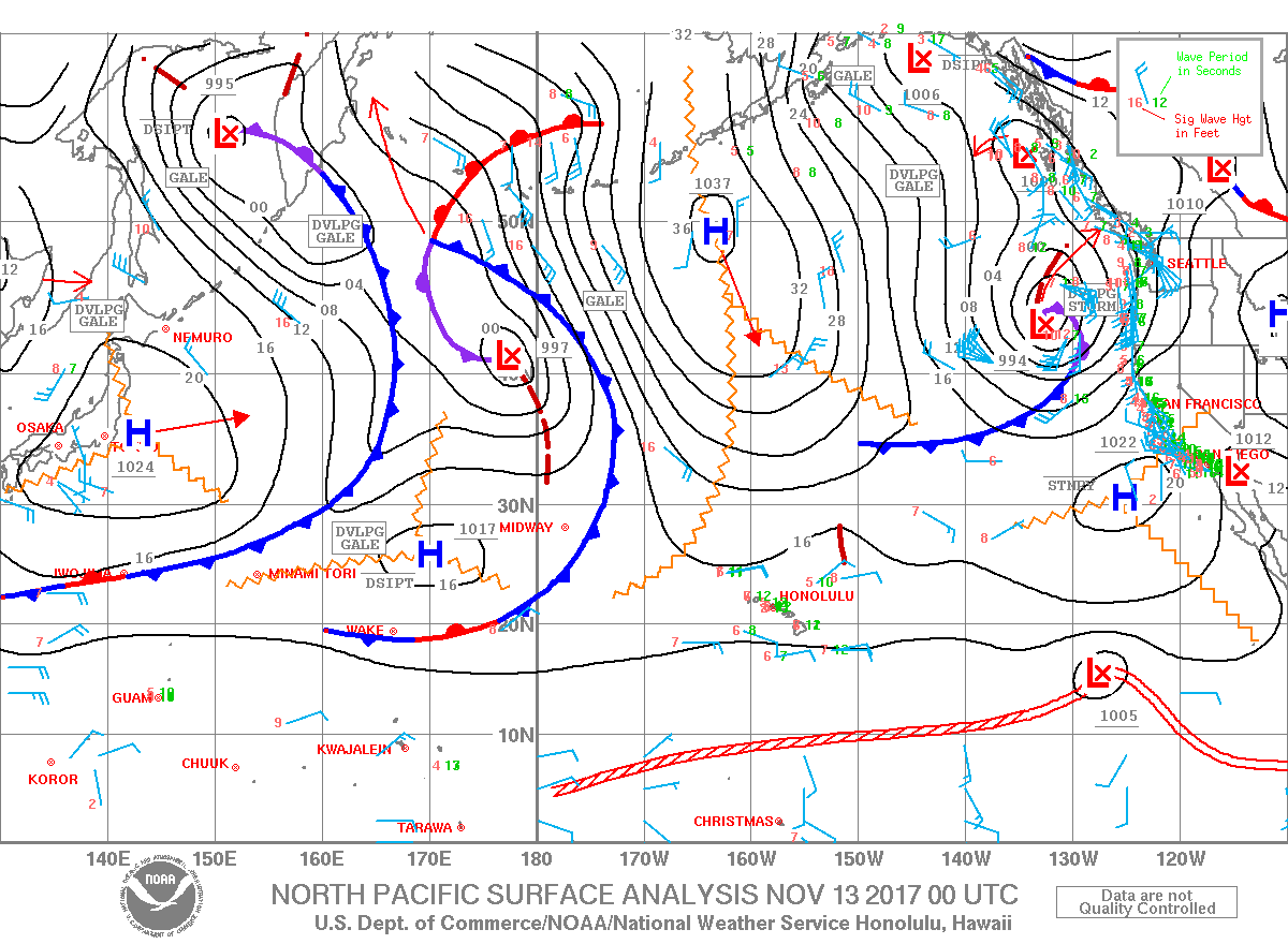
Our current north-northeast swell is expected to continue to fade into Monday. A moderate west-northwest is forecast to fill in late Monday, peak late Tuesday and fade from Wednesday through the rest of the work week. Surf should stay below advisory levels from this swell energy.
A new north-northeast swell is forecast to fill in Tuesday possibly bringing on High Surf Advisory conditions. Small Craft Advisories could be posted during this time too.
Small southerly swells will continue with small background swell for south facing shores.
Keep in mind, surf heights are measured on the face of the wave from trough to crest. Heights vary from beach to beach, and at the same beach, from break to break.


