Today’s Surf Report: Advisory Posted as NNE Peaks
Alerts (as of 1:00 a.m.)
High Surf Advisory: North and east facing shores of Big Island through 6 p.m. this evening.
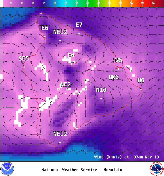
Small Craft Advisory: Through 6 p.m. Saturday for 20 to 25 knot winds with seas 6 to 9 feet.
Marine Weather Statement: A long-period north-northeast swell building through the morning and peaking this afternoon will produce moderate surges in exposed harbors. Primarily Kahului and Hilo harbors where waves may break near harbor entrances and mariners should be alert for increased wave and surge action when mooring or launching vessels.
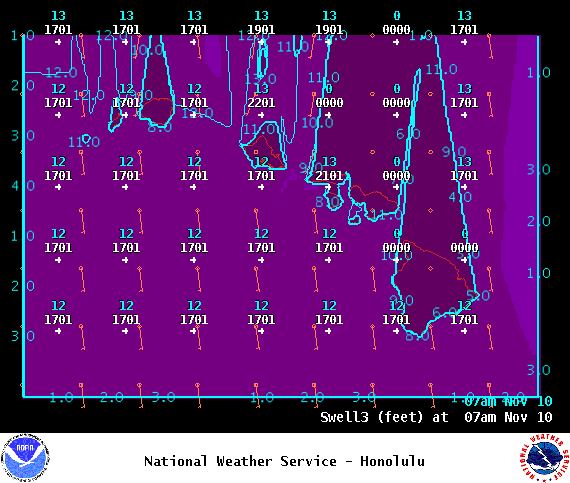
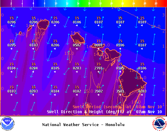
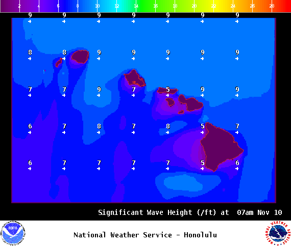
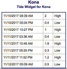
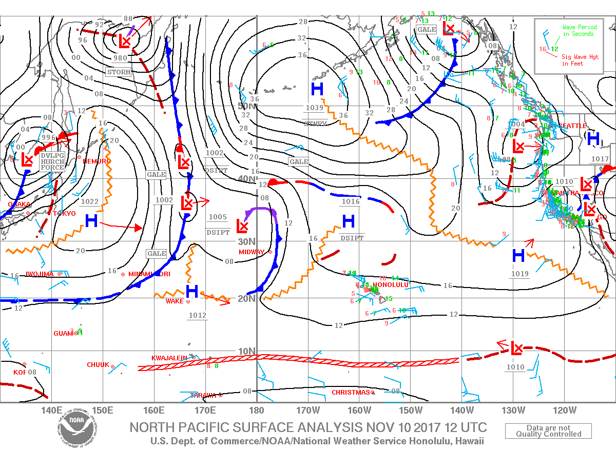
**Click directly on the images below to make them larger. Charts include: Big Island projected winds, tides, swell direction & period and expected wave heights.**
Big Island Surf Forecast
Hilo side: Wave heights shoulder high to a couple feet overhead today.
Kona side: Wave heights knee/thigh high today. Spots with less exposure will be flat.
South: Wave heights peak around knee/thigh high today.
Our current north-northeast swell is expected to peak Friday and fade into the weekend. This swell is at advisory levels for north and east facing shores. A moderate west-northwest and north-northeast are forecast to fill in around Tuesday/Wednesday of next week.
Our old south swell continues to fade.
Keep in mind, surf heights are measured on the face of the wave from trough to crest. Heights vary from beach to beach, and at the same beach, from break to break.


