Trade Swell Building for Weekend
Alerts (as of 1:00 a.m.)
There are no weather alerts posted at this time.
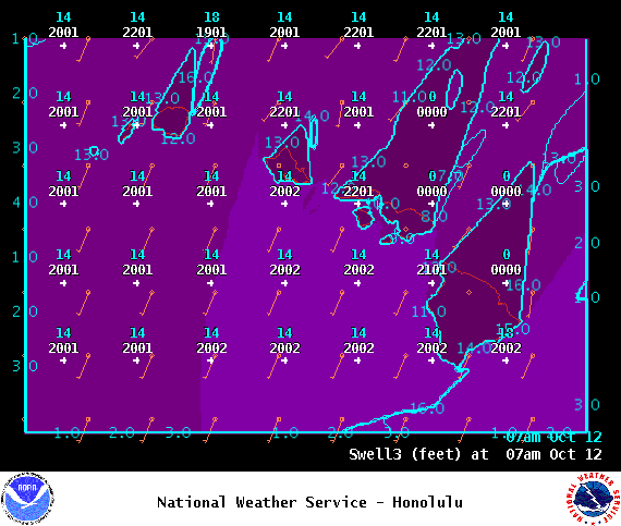
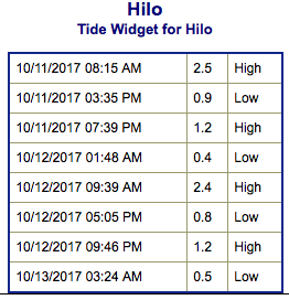
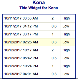
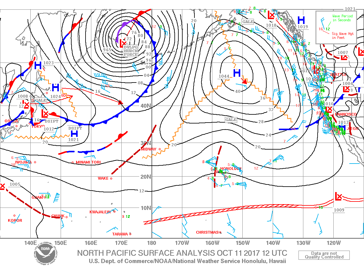
**Click directly on the images below to make them larger. Charts include: Big Island projected winds, tides, swell direction & period and expected wave heights.**
Big Island Surf Forecast
Hilo side: Surf heights are expected to be pretty flat today.
Kona side: Surf heights are expected to be up to waist high. Exposures not catching the southwest will be flat, those catching it could get a bit bigger on the sets.
South: Surf heights are expected to be waist high today. The best breaks catching the swell could get a bit bigger on the sets.
Northeast trade swell for eastern exposures is forecast to build over Friday and into the weekend up to about head high, possibly overhead by Sunday. We don’t expect much out of the north Pacific other than a small swell possibly around the 12th and some trade swell late next week.
A small swell is expected to hold into Wednesday / Thursday up to waist high with chest high sets at the best exposures.
Keep in mind, surf heights are measured on the face of the wave from trough to crest. Heights vary from beach to beach, and at the same beach, from break to break.


