Trade Swell Slowly Eases, SSW for Weekend
Alerts (as of 1:00 a.m.)
Small Craft Advisory: Through 6 a.m. Friday with winds up to 25 knots.
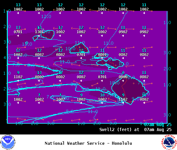
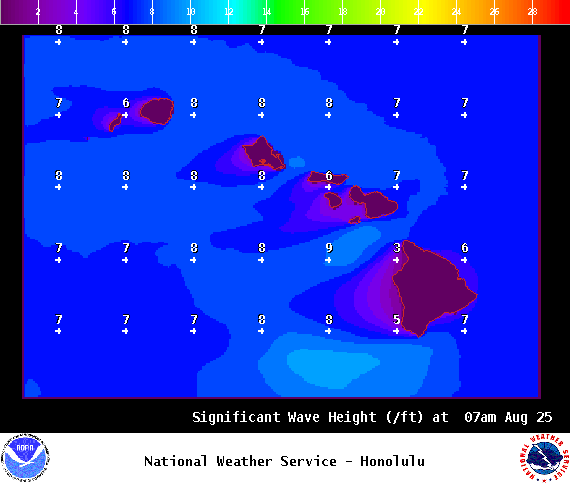
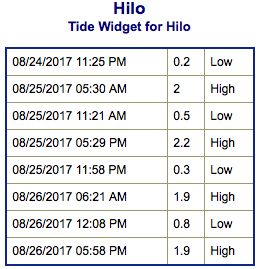
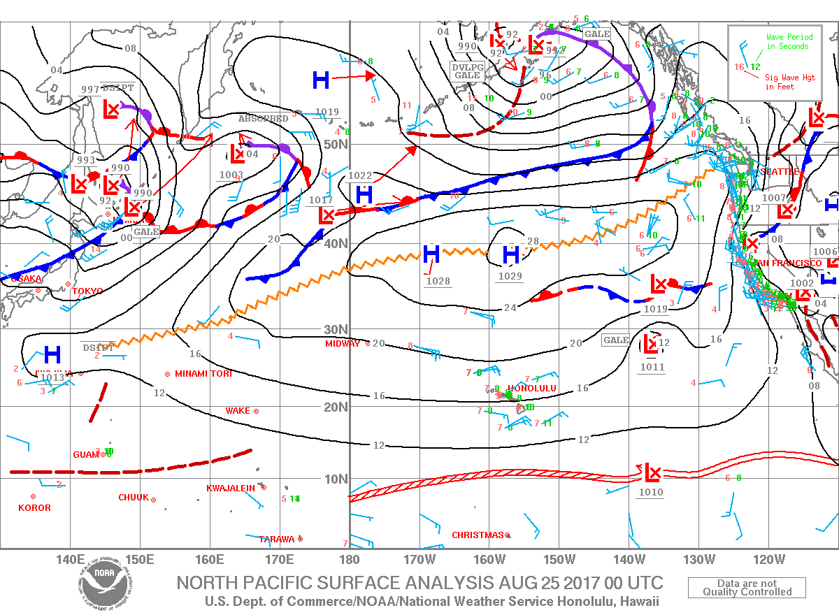
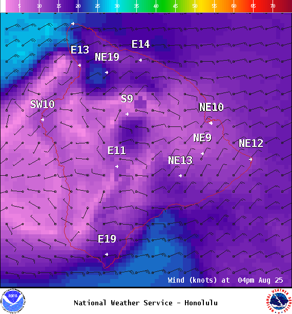
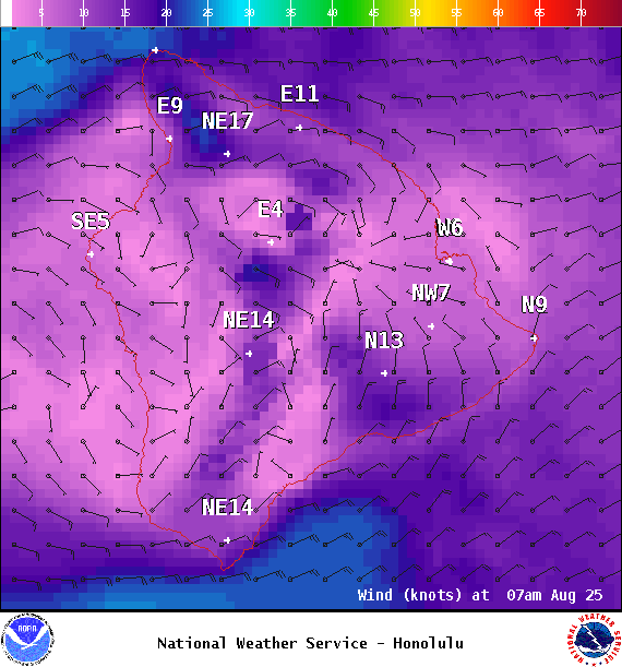
**Click directly on the images below to make them larger. Charts include: Big Island projected winds, tides, swell direction & period and expected wave heights.**
Big Island Surf Forecast
Hilo side: Surf heights are expected to be knee/waist/chest high today.
Kona side: Surf heights are expected to be ankle/knee high today or less.
South: Surf heights are expected to be ankle/knee high today or less.
A small southwest is forecast to fill in for the weekend up to knee/waist high. That same storm system which generated this small swell is forecast to push some small south-southwest toward us around the 28th as well. A stronger storm is expected to bring us a larger south swell late Wednesday.
Trade swell is forecast to bring up to chest high waves for eastern exposures. Swell from tropical system, Kenneth, is reinforcing the trade swell but this energy is expected to ease on Friday and into the weekend.
Keep in mind, surf heights are measured on the face of the wave from trough to crest. Heights vary from beach to beach, and at the same beach, from break to break.
Sponsored Content
Comments




_1770333123096.webp)


