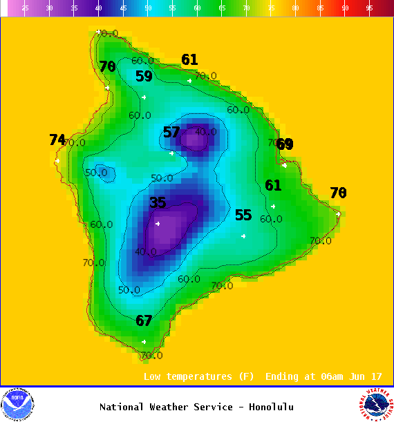
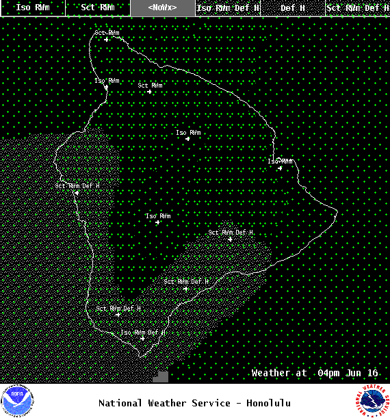
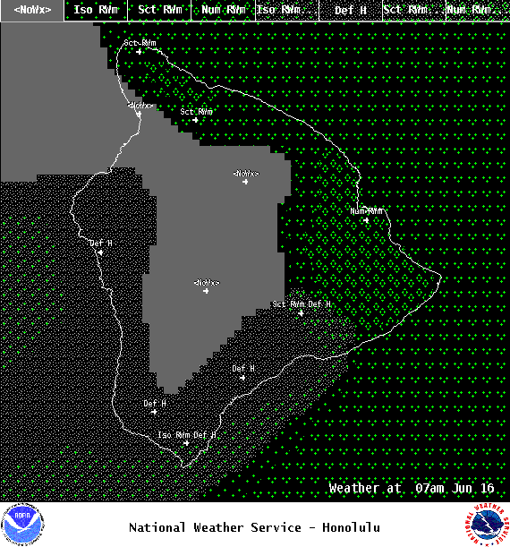
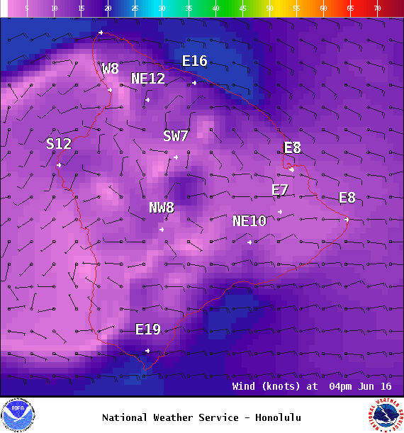
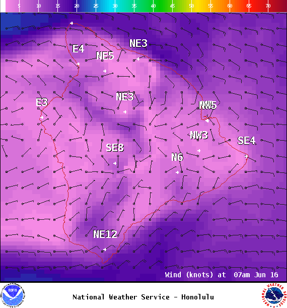
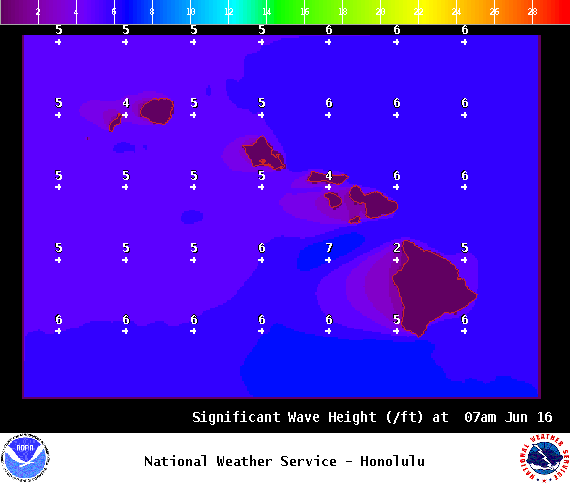
**Click directly on the images below to make them larger. Charts include: Big Island high/low forecasted temperatures, projected winds, chance of cloud cover, projected localized weather conditions, vog/SO2 forecast and expected wave heights.**
+
SWIPE LEFT OR RIGHT
ARTICLE CONTINUES BELOW AD
ARTICLE CONTINUES BELOW AD
Looking Ahead
Drier and more stable weather is forecast for today as a disturbance moves away from the state. Moderate trade winds are expected to weaken Friday with local land and sea breezes taking hold of the forecast Friday and Saturday. Trade winds are expected to fill back in Saturday night and Sunday. Trade showers are likely to increase again around the middle of next week, but should remain on the light side.
ARTICLE CONTINUES BELOW AD
Today
We expect east winds around 15 to 20 mph. High temperatures are forecast from 82° to 87°. Mostly cloudy skies with scattered windward showers today. Isolated afternoon showers for the Kona side with partly sunny skies in the morning. Hazy skies as well.
UV index at 11 (“extreme” exposure level)
ARTICLE CONTINUES BELOW AD
Tonight
East winds are forecast around 15 mph. Partly to mostly cloudy skies with scattered windward showers. Low temperatures from 69° to 74°.
This comments section is a public community forum for the purpose of free expression. Although Big Island Now encourages respectful communication only, some content may be considered offensive. Please view at your own discretion. View Comments