

WNW Reinforcement Fills in Today

Image: James Grenz
Alerts (as of 1:00 a.m.)
Small Craft Advisory: Southern waters and the Alenuihaha channel through 6 p.m. Wednesday.
**Click directly on the images below to make them larger. Charts include: Big Island projected winds, tides, swell direction & period and expected wave heights.**
Big Island Surf Forecast
Hilo side: Wave heights are forecast to be knee/shoulder high today.
Kona side: Wave heights are expected to be waist high today with the best breaks getting up to chest high on the sets.
South: Wave heights are expected to be waist high today with the best breaks getting up to chest high on the sets.
Our current reinforcement is expected to fill in Wednesday and Thursday before fading Friday and into the weekend.
Near the end of the month we could see an improvement in wave conditions for southern exposures.
Keep in mind, surf heights are measured on the face of the wave from trough to crest. Heights vary from beach to beach, and at the same beach, from break to break.
**Click here for your detailed Big Island weather report.**
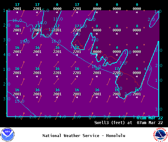
Image: NOAA
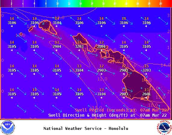
Image: NOAA
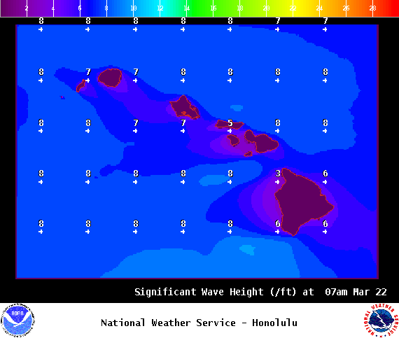
Image: NOAA
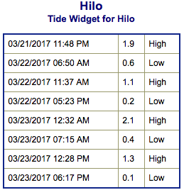
Image: NOAA

Image: NOAA
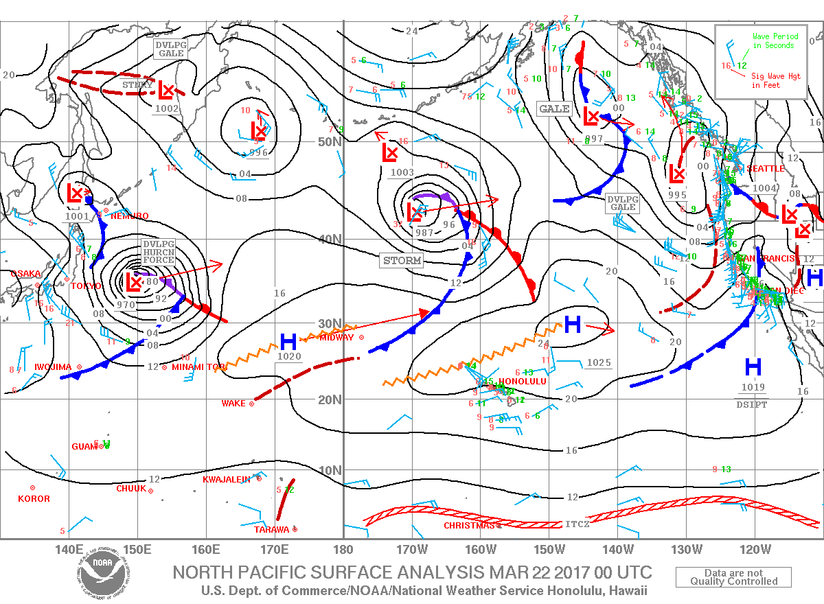
Image: NOAA
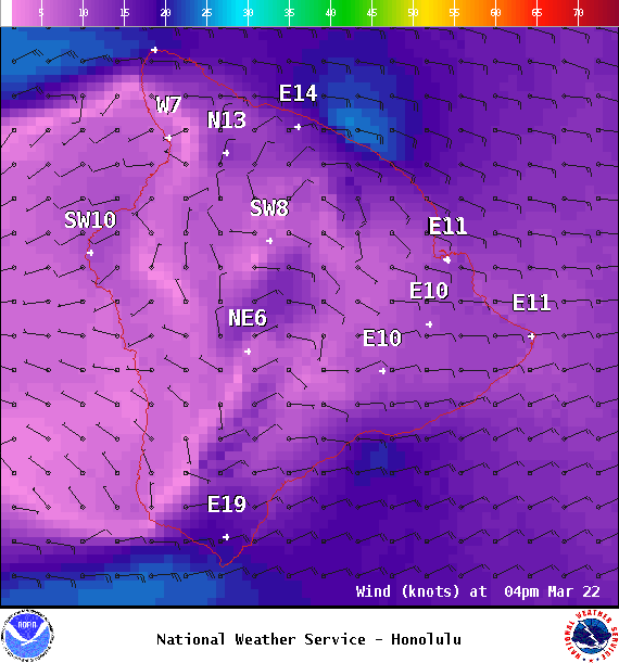
Image: NOAA
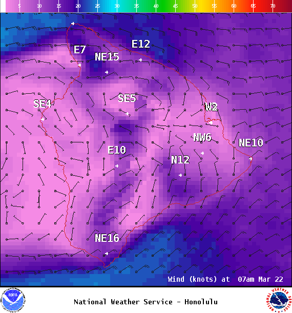
Image: NOAA
Sponsored Content


