Mostly Sunny Today, Weak Front Approaching

Image: James Grenz
Alerts (as of 1:00 a.m.)
High Surf Advisory: East and north exposures of Big Island until 6 p.m. Wednesday.
**Click directly on the images below to make them larger. Charts include: Big Island high/low forecasted temperatures, projected winds, chance of cloud cover, projected localized weather conditions, vog/SO2 forecast and expected wave heights.**
Looking Ahead
A weak cold front is slowly dissipating as it moves down the island chain today through the end of the week. The front is forecast to bring an increase in showers for windward and mauka spots. Some of those showers could reach leeward areas from time to time. Cool and dry conditions are expected after the front passes and into early next week.
Today
Mostly sunny skies are expected today with scattered windward showers. Hazy for the Kona side with partly cloudy skies and isolated afternoon showers after morning sunshine. High temperatures from 77° to 82°. Winds will be variable up to 15 mph.
UV index at 6 (“high” exposure level)
Tonight
West winds are forecast around 15 mph. Mostly cloudy skies with isolated showers for windward spots. Low temperatures from 64° to 69°.
Our Big Island Now Weather homepage always includes daily: Sunrise | Sunset | Moonrise | Moonset | Moon Phase | Live Weather Cams | 5-day Forecast | Current Temperature & Conditions
**Click here for your detailed Big Island surf report.**

Image: NOAA
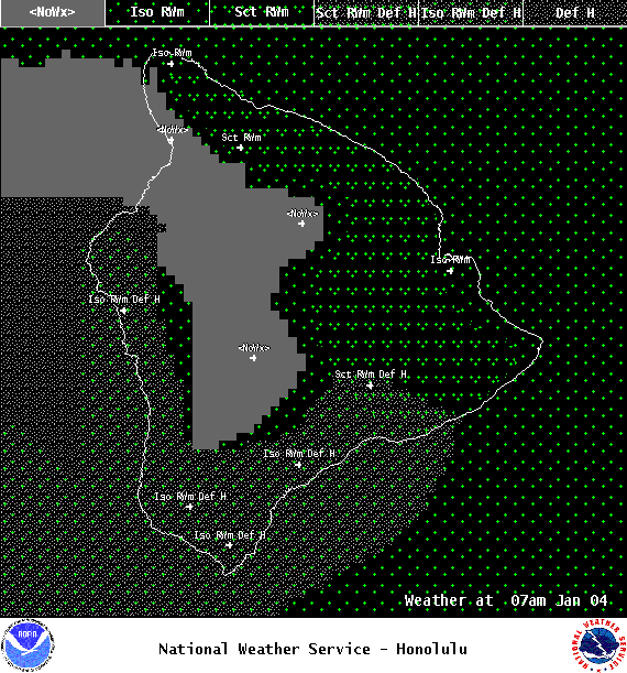
Image: NOAA
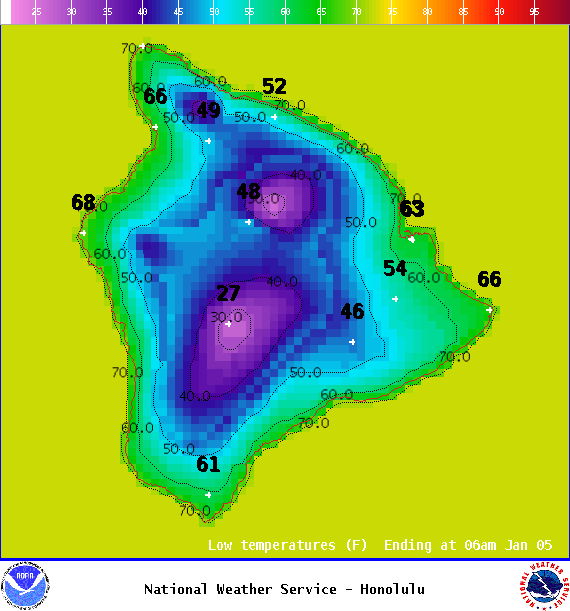
Image: NOAA
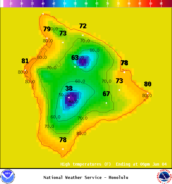
Image: NOAA
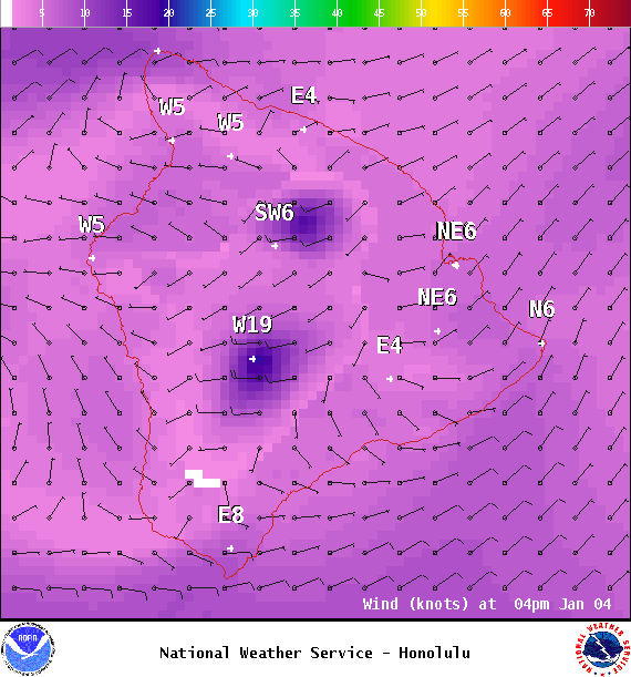
Image: NOAA
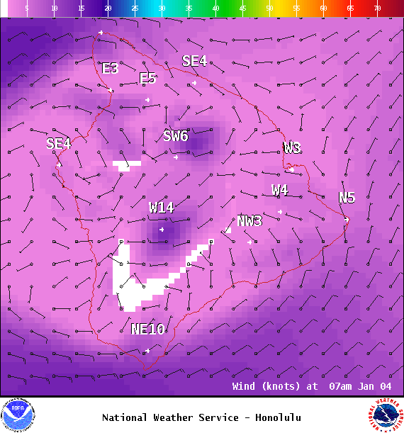
Image: NOAA

Image: NOAA
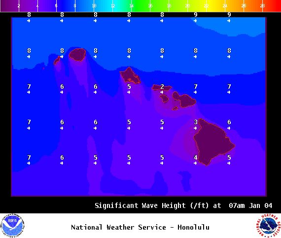
Image: NOAA
Sponsored Content