

NNW Continues, Christmas Swell on Tap

Image: James Grenz
Alerts (as of 1:00 a.m.)
Small Craft Advisory: East winds 20 to 30 knots in our windier channels through 6 a.m. Friday.
**Click directly on the images below to make them larger. Charts include: Big Island projected winds, tides, swell direction & period and expected wave heights.**
 Big Island Surf Forecast
Hilo side: Wave heights are forecast to be shoulder high to a few feet overhead today for the best breaks.
Kona side: Wave heights are expected to be knee/thigh high today with sets up to waist high for the best breaks.
South: Wave heights are expected to be knee/thigh high today with sets up to waist high for the best breaks.
 Our current NNW swell is still showing today. This swell should ease through the holiday weekend. Unfortunately, the Kona side will be heavily shadowed from this swell. A new northwest swell could arrive in time for Christmas if the model projections are correct.
A trade wind swell will also continue showing today. Surf, however, is expected to stay below advisory level until maybe late in the upcoming weekend.
Very small south-southwest laps in Friday and into the weekend up to knee/thigh high. Nothing significant is expected out of the SPAC in the near future.
Keep in mind, surf heights are measured on the face of the wave from trough to crest. Heights vary from beach to beach, and at the same beach, from break to break.
**Click here for your detailed Big Island weather report.**

Image: NOAA

Image: NOAA
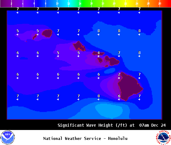
Image: NOAA
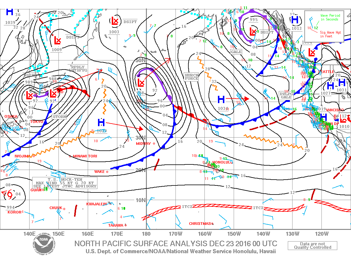
Image: NOAA
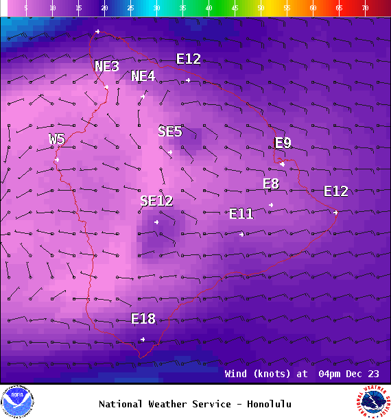
Image: NOAA
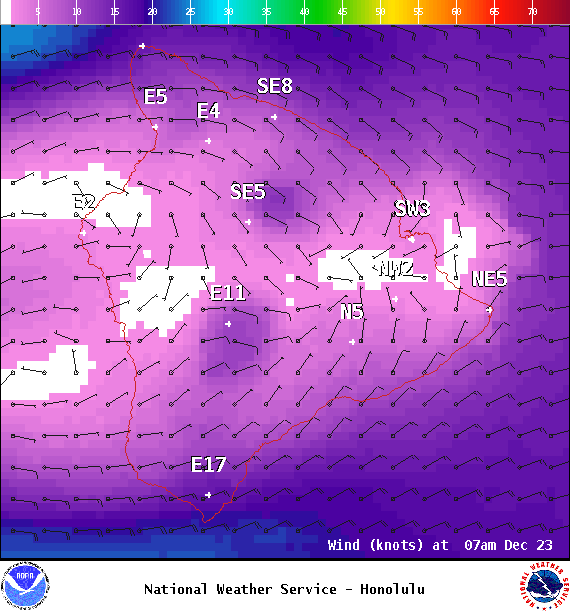
Image: NOAA
Sponsored Content


