Mix of Swells Expected This Weekend
Alerts (as of 1:00 a.m.)
A High Surf Advisory is posted for north and west facing shores of the Big Island through noon Saturday.
Small Craft Advisory posted for windward waters through 6 a.m. Sunday.
Gale Warning in effect for all offshore waters.
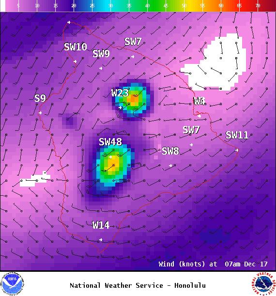
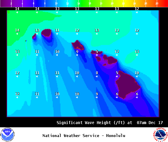
**Click directly on the images below to make them larger. Charts include: Big Island projected winds, tides, swell direction & period and expected wave heights.**
Hilo side: Wave heights are forecast to be shoulder/head high today for the best breaks.
Kona side: Wave heights are expected to be waist/head high today with sets up to overhead for the best breaks.
South: Wave heights are expected to be knee/shoulder high today for Kona side wrap. Wrap from the northwest swell will make exposures open to that direction around shoulder/head high.
 West-northwest swell is showing Saturday along with a blend of northwest swell. The Big Island will feel some shadowing from this swell but energy will still sneak through to the Kona side. West-southwest wind swell will also mix in Saturday because of the Kona winds so surf may seem a bit jumbled.
A smaller northwest swell is expected to build Sunday, peak in the evening and hold through Monday.
Nothing significant is expected out of the SPAC in the near future.
Keep in mind, surf heights are measured on the face of the wave from trough to crest. Heights vary from beach to beach, and at the same beach, from break to break.
Sponsored Content
Comments


