All Swells Fading Today
Alerts (as of 1:00 a.m.)
A Small Craft Advisory is posted for the ʻAlenuihāhā channel and leeward waters through 6 p.m. Tuesday.
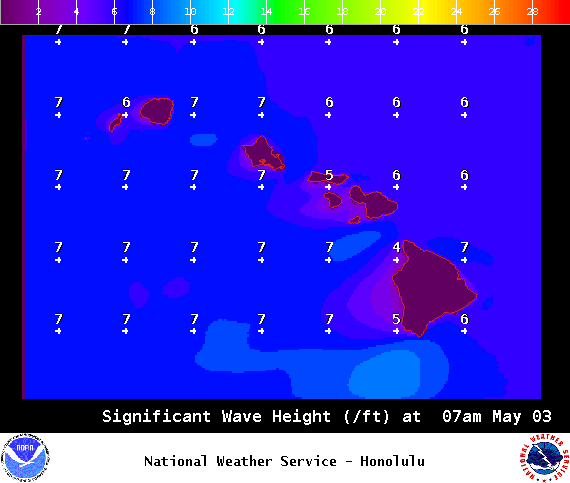
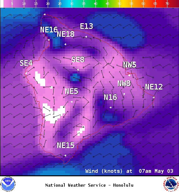
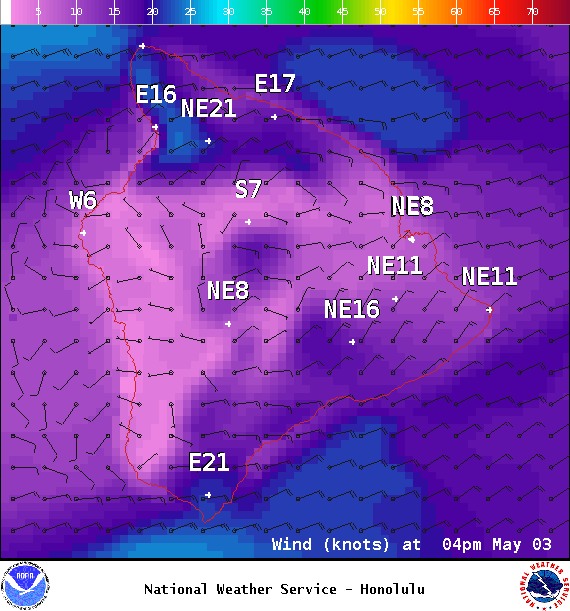
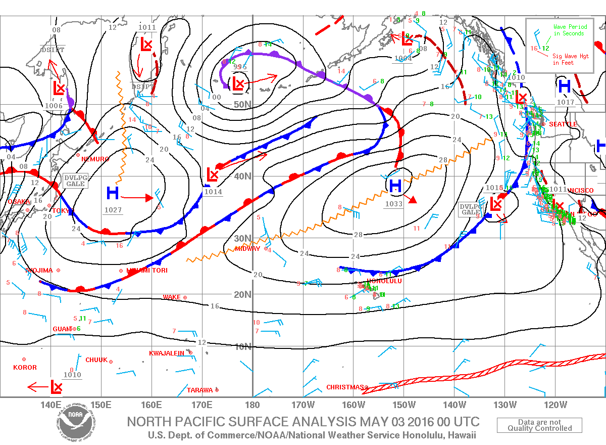
**Click directly on the images below to make them larger. Charts include: Big Island projected winds, tides, swell direction & period and expected wave heights.**
Hilo side: Wave heights for spots exposed to the swell are expected to be shoulder/head high today. Spots without direct exposure to the swell will be smaller.
Kona side: Wave heights are expected to be waist high or less today. The best breaks could see chest high surf on the sets.
South: Wave heights are expected to be waist high or less today out of the southwest. Spots with exposure from wind waves could be bigger than that, up to slightly overhead at the best breaks.
 A new west-northwest is expected to build late Wednesday and peak Thursday at about waist high before fading Thursday and Friday. Otherwise nothing of note is expected.
A small south-southwest swell is expected to show Tuesday through Thursday with the best breaks up to chest high on Tuesday. A south-southeast is still showing but the Kona side will be shadowed.
Keep in mind, surf heights are measured on the face of the wave from trough to crest. Heights vary from beach to beach, and at the same beach, from break to break.
**Click here for your detailed Big Island weather report.**

Image: NOAA / NWS


