**Click directly on the images below to make them larger. Charts include: Hawaii Island high/low forecasted temperatures, projected winds, projected localized weather conditions and expected wave heights.**
+
SWIPE LEFT OR RIGHT
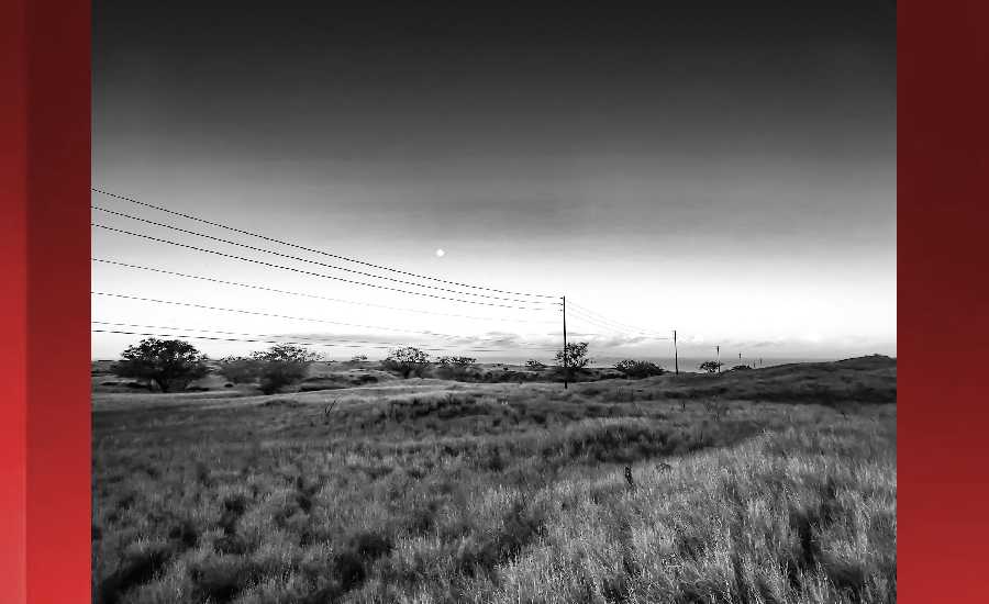
Looking Ahead
Hilo
This Afternoon: Scattered showers and thunderstorms. Some of the storms could produce heavy rainfall. Mostly cloudy, with a high near 82. East southeast wind 7 to 10 mph. Chance of precipitation is 40%. New rainfall amounts of less than a tenth of an inch, except higher amounts possible in thunderstorms.
ARTICLE CONTINUES BELOW AD
ARTICLE CONTINUES BELOW AD
Tonight: Scattered showers and thunderstorms. Some of the storms could produce heavy rainfall. Mostly cloudy, with a low around 64. East southeast wind 5 to 7 mph becoming light and variable after midnight. Chance of precipitation is 40%. New precipitation amounts of less than a tenth of an inch, except higher amounts possible in thunderstorms.
Sunday: Scattered showers, with thunderstorms also possible after noon. Some of the storms could produce heavy rainfall. Mostly cloudy, with a high near 82. Light and variable wind becoming east southeast 5 to 7 mph in the morning. Chance of precipitation is 50%. New rainfall amounts of less than a tenth of an inch, except higher amounts possible in thunderstorms.
Kona
This Afternoon: Scattered showers and thunderstorms. Some of the storms could produce heavy rainfall. Mostly cloudy, with a high near 84. West northwest wind 6 to 11 mph becoming north. Chance of precipitation is 50%. New rainfall amounts between a tenth and quarter of an inch, except higher amounts possible in thunderstorms.
Tonight: Scattered showers and thunderstorms before midnight, then isolated showers. Some of the storms could produce heavy rainfall. Partly cloudy, with a low around 64. North wind 6 to 8 mph. Chance of precipitation is 50%. New precipitation amounts between a tenth and quarter of an inch, except higher amounts possible in thunderstorms.
ARTICLE CONTINUES BELOW AD
Sunday: Isolated showers, then scattered showers and thunderstorms after noon. Some of the storms could produce heavy rainfall. Partly sunny, with a high near 84. West northwest wind 5 to 7 mph becoming light and variable in the afternoon. Chance of precipitation is 50%. New rainfall amounts between a quarter and half of an inch possible.
Waimea
This Afternoon: Scattered showers and thunderstorms. Some of the storms could produce heavy rainfall. Partly sunny, with a high near 75. North northeast wind 5 to 9 mph becoming calm. Chance of precipitation is 40%. New rainfall amounts between a quarter and half of an inch possible.
Tonight: Scattered showers and thunderstorms before midnight, then isolated showers. Some of the storms could produce heavy rainfall. Mostly cloudy, with a low around 53. Calm wind becoming northeast around 6 mph after midnight. Chance of precipitation is 40%. New precipitation amounts between a quarter and half of an inch possible.
Sunday: Isolated showers, then scattered showers and thunderstorms after noon. Some of the storms could produce heavy rainfall. Partly sunny, with a high near 75. North northeast wind 5 to 7 mph becoming light and variable in the morning. Chance of precipitation is 50%. New rainfall amounts between a quarter and half of an inch possible.
ARTICLE CONTINUES BELOW AD
Kohala
This Afternoon: Scattered showers and thunderstorms. Some of the storms could produce heavy rainfall. Partly sunny, with a high near 68. East wind around 8 mph. Chance of precipitation is 50%. New rainfall amounts of less than a tenth of an inch, except higher amounts possible in thunderstorms.
Tonight: Scattered showers and thunderstorms before midnight, then isolated showers. Some of the storms could produce heavy rainfall. Mostly cloudy, with a low around 45. South southeast wind 3 to 7 mph. Chance of precipitation is 50%. New precipitation amounts of less than a tenth of an inch, except higher amounts possible in thunderstorms.
Sunday: Isolated showers, then showers likely and possibly a thunderstorm after noon. Some of the storms could produce heavy rainfall. Partly sunny, with a high near 68. East southeast wind 3 to 5 mph. Chance of precipitation is 60%. New rainfall amounts of less than a tenth of an inch, except higher amounts possible in thunderstorms.
South Point
This Afternoon: Scattered showers and thunderstorms. Some of the storms could produce heavy rainfall. Mostly sunny, with a high near 84. Breezy, with an east wind around 17 mph, with gusts as high as 22 mph. Chance of precipitation is 30%. New rainfall amounts of less than a tenth of an inch, except higher amounts possible in thunderstorms.
Tonight: Scattered showers and thunderstorms. Some of the storms could produce heavy rainfall. Partly cloudy, with a low around 70. Breezy, with an east northeast wind 13 to 16 mph, with gusts as high as 20 mph. Chance of precipitation is 40%. New precipitation amounts of less than a tenth of an inch, except higher amounts possible in thunderstorms.
Sunday: Scattered showers, with thunderstorms also possible after noon. Some of the storms could produce heavy rainfall. Partly sunny, with a high near 84. Breezy, with an east wind 13 to 15 mph, with gusts as high as 18 mph. Chance of precipitation is 40%. New rainfall amounts of less than a tenth of an inch, except higher amounts possible in thunderstorms.
Puna
This Afternoon: Scattered showers and thunderstorms. Some of the storms could produce heavy rainfall. Partly sunny, with a high near 80. East southeast wind 8 to 10 mph. Chance of precipitation is 50%. New rainfall amounts between a tenth and quarter of an inch, except higher amounts possible in thunderstorms.
Tonight: Scattered showers and thunderstorms. Some of the storms could produce heavy rainfall. Mostly cloudy, with a low around 62. East southeast wind 5 to 8 mph becoming calm in the evening. Chance of precipitation is 50%. New precipitation amounts between a quarter and half of an inch possible.
Sunday: Scattered showers, then showers likely and possibly a thunderstorm after noon. Some of the storms could produce heavy rainfall. Mostly cloudy, with a high near 80. East southeast wind 3 to 7 mph. Chance of precipitation is 60%. New rainfall amounts between a quarter and half of an inch possible.
Waikoloa
This Afternoon: Scattered showers and thunderstorms. Some of the storms could produce heavy rainfall. Partly sunny, with a high near 81. West wind 6 to 9 mph. Chance of precipitation is 40%. New rainfall amounts between a tenth and quarter of an inch, except higher amounts possible in thunderstorms.
Tonight: Scattered showers and thunderstorms before midnight, then isolated showers. Some of the storms could produce heavy rainfall. Partly cloudy, with a low around 63. West wind around 6 mph becoming calm after midnight. Chance of precipitation is 40%. New precipitation amounts between a tenth and quarter of an inch, except higher amounts possible in thunderstorms.
Sunday: Isolated showers, then scattered showers and thunderstorms after noon. Some of the storms could produce heavy rainfall. Partly sunny, with a high near 81. West wind 5 to 9 mph becoming calm in the afternoon. Chance of precipitation is 50%. New rainfall amounts between a quarter and half of an inch possible.
This comments section is a public community forum for the purpose of free expression. Although Big Island Now encourages respectful communication only, some content may be considered offensive. Please view at your own discretion. View Comments