Throughout the current weather event, all weather alerts will be posted HERE.
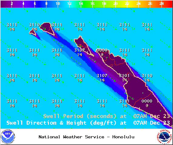
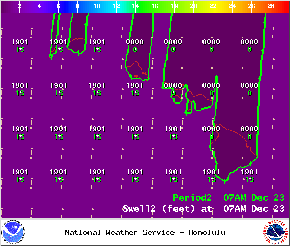
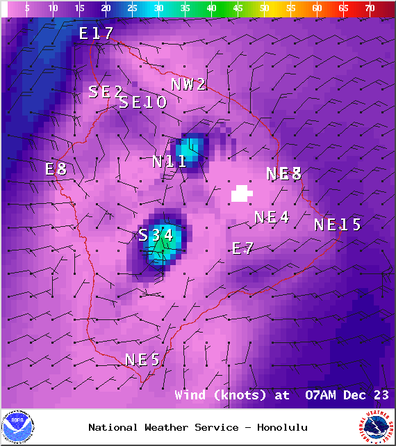
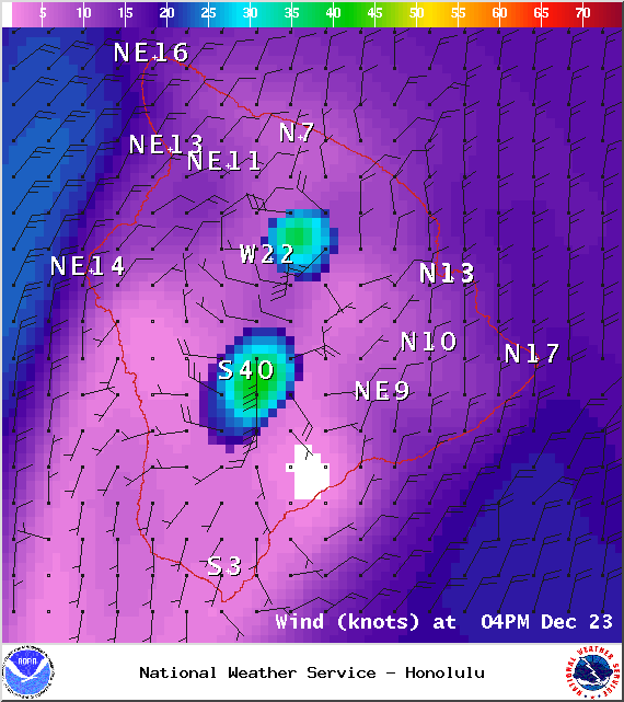
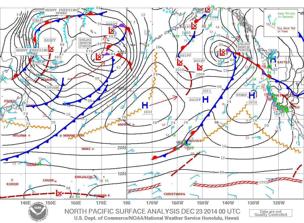
**Click directly on the images below to make them larger. Charts include: Big Island projected winds, tides, swell direction & period and expected wave heights.**
+
SWIPE LEFT OR RIGHT
ARTICLE CONTINUES BELOW AD
ARTICLE CONTINUES BELOW AD
Big Island Surf Forecast, Tuesday – December 23
Hilo side: Surf heights are expected from chest to about head high or overhead at the best breaks along the Hamakua coast.
ARTICLE CONTINUES BELOW AD
Kona side: South-southwest swell fades out further. West-northwest holds in the morning at about head high to a few feet overhead or more, especially early in the day.
South: South-southwest swell fading out. Trade swell is expected for the southeast coastline with waves up to waist high expected.
Our current west-northwest swell is slightly smaller Tuesday into Wednesday. Still showing best for the Kona side. Surf fades through Wednesday and becomes messy as a front moves through. The Hamakua coast will not see much wrap but instead experiences swell out of the north-northeast created by the frontal passage.
ARTICLE CONTINUES BELOW AD
Another shot of surf energy out of the north-northwest is forecasted to combine with northeast wind swell on Christmas Day. A new northwest is forecasted for the weekend as well.
Super small trace amounts of swell expected out of the SPAC. Not much to get excited about.
Keep in mind, surf heights are measured on the face of the wave from trough to crest. Heights vary from beach to beach, and at the same beach, from break to break.
This comments section is a public community forum for the purpose of free expression. Although Big Island Now encourages respectful communication only, some content may be considered offensive. Please view at your own discretion. View Comments