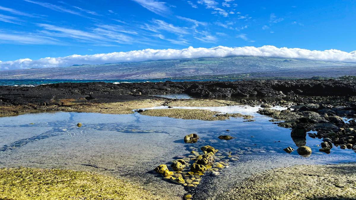
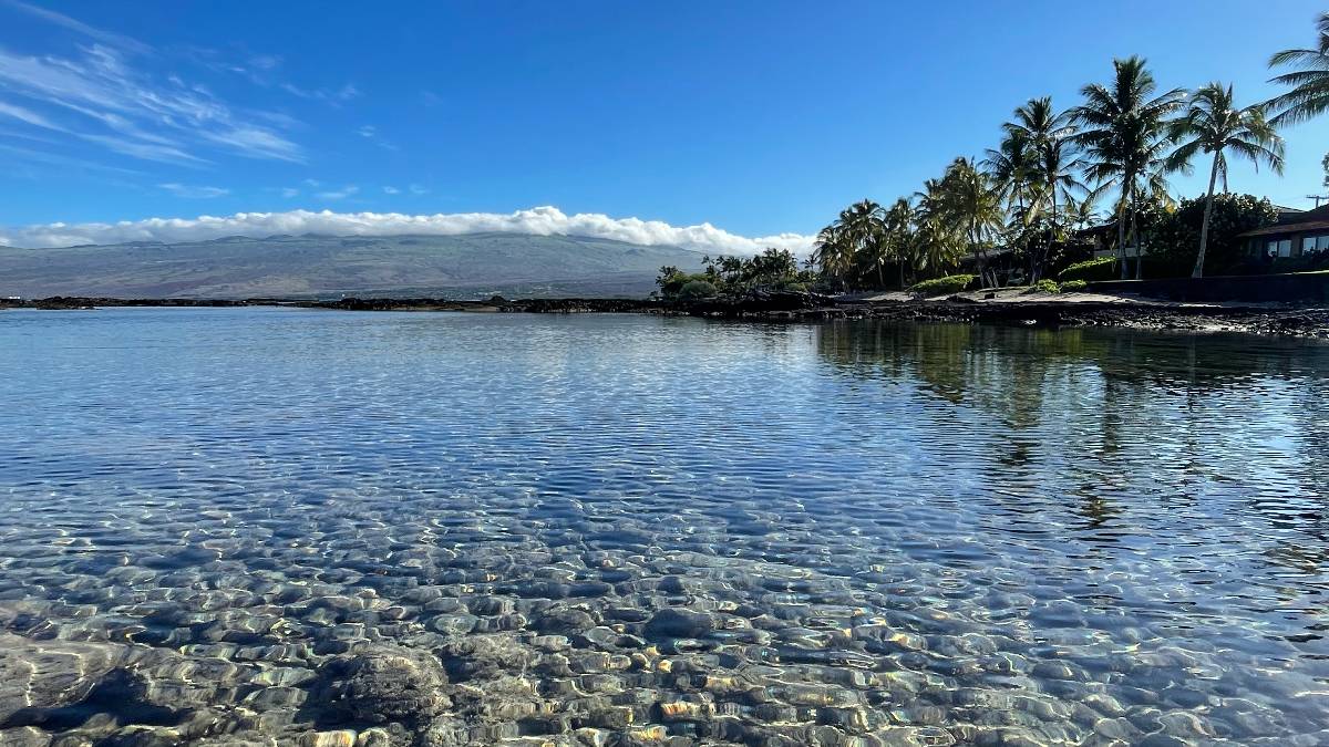
Hawaii County Weather Forecast for January 19, 2024
Hilo
Today: Sunny. Highs 79 to 84 near the shore to 65 to 72 at 4000 feet. Southeast winds around 10 mph.
Tonight: Mostly clear. Lows 60 to 67 near the shore to around 56 at 4000 feet. Southwest winds up to 10 mph.
Saturday: Mostly sunny with isolated showers. Highs around 81 near the shore to 67 to 73 at 4000 feet. Southwest winds around 10 mph shifting to the southeast in the afternoon. Chance of rain 20 percent.
Kona
Today: Sunny with scattered showers. Highs 80 to 85 near the shore to around 69 near 5000 feet. Southwest winds up to 10 mph. Chance of rain 40 percent.
Tonight: Mostly clear. Lows around 69 near the shore to 45 to 52 near 5000 feet. Light winds.
Saturday: Sunny. Isolated showers in the afternoon. Highs around 82 near the shore to around 70 near 5000 feet. Light winds becoming west around 10 mph in the afternoon. Chance of rain 20 percent.
Waimea
Today: Sunny. Isolated showers in the afternoon. Highs around 78 near the shore to 68 to 73 near 3000 feet. West winds up to 10 mph in the morning becoming light. Chance of rain 20 percent.
Tonight: Mostly clear. Isolated showers in the evening. Lows 60 to 67 near the shore to 51 to 58 near 3000 feet. Light winds. Chance of rain 20 percent.
Saturday: Mostly sunny. Isolated showers in the morning, then scattered showers in the afternoon. Highs around 77 near the shore to around 70 near 3000 feet. Light winds becoming north around 10 mph in the afternoon. Chance of rain 50 percent.
Kohala
Today: Sunny. Isolated showers in the afternoon. Highs around 78 near the shore to 68 to 73 near 3000 feet. West winds up to 10 mph in the morning becoming light. Chance of rain 20 percent.
Tonight: Mostly clear. Isolated showers in the evening. Lows 60 to 67 near the shore to 51 to 58 near 3000 feet. Light winds. Chance of rain 20 percent.
Saturday: Mostly sunny. Isolated showers in the morning, then scattered showers in the afternoon. Highs around 77 near the shore to around 70 near 3000 feet. Light winds becoming north around 10 mph in the afternoon. Chance of rain 50 percent.
South Big Island
Today: Mostly sunny with scattered showers. Highs around 81 near the shore to around 68 near 5000 feet. Southeast winds 10 to 15 mph. Chance of rain 40 percent.
Tonight: Mostly clear. Lows around 69 near the shore to around 50 near 5000 feet. Northeast winds 10 to 15 mph.
Saturday: Sunny. Highs around 81 near the shore to around 68 near 5000 feet. East winds 10 to 15 mph.
Puna
Today: Sunny. Highs 79 to 84 near the shore to 65 to 72 at 4000 feet. Southeast winds around 10 mph.
Tonight: Mostly clear. Lows 60 to 67 near the shore to around 56 at 4000 feet. Southwest winds up to 10 mph.
Saturday: Mostly sunny with isolated showers. Highs around 81 near the shore to 67 to 73 at 4000 feet. Southwest winds around 10 mph shifting to the southeast in the afternoon. Chance of rain 20 percent.
Waikoloa
Today: Sunny. Highs 79 to 84 near the shore to 64 to 72 above 4000 feet. West winds around 10 mph.
Tonight: Clear. Lows around 69 near the shore to 49 to 54 above 4000 feet. Light winds.
Saturday: Sunny. Highs around 81 near the shore to 64 to 72 above 4000 feet. Southeast winds around 10 mph shifting to the northwest in the afternoon.
Detailed Forecast
Synopsis
A ridge near the islands will maintain light winds, and mostly dry conditions today. A front approaching from the northwest will cause winds to increase and become southerly over the weekend. A stronger front could bring some unsettled weather, and windier conditions midweek.
Discussion
There have been several changes to the forecast with the morning package. Winds have been weakened just a bit in keeping with the latest model runs both in the short and long terms. The PoPs and associated parameters have been modified through the forecast period to bring them in line with the latest model data, but lean heavily on the NBM. For today, several of the models, particularly the global models, want to bring showers into Kauai and the waters to the northwest, but that seems a bit fast given the location of the front to the northwest of the islands. As such, tapped down PoPs for today. For Monday and Tuesday, the forecast now reflects an uptick in shower activity for Kauai and Oahu at times, before the main increase in showers on Wednesday and Thursday as the stronger front pushes down the island chain.
The ridge near the islands continues to bring light winds and dry conditions to the state today. The ridge is expected to linger over the southern end of the state through the weekend. Meanwhile a front far the northwest will move towards the islands over the weekend.
This front is expected to stall out late in the weekend over the waters to the northwest of Kauai. As the front edges closer to the islands, winds will become more southerly, and increase. These southerly winds will be stronger next Kauai, and lighter near the Big Island due to the above mentioned ridge.
A low forming far north-northwest of the islands early next week, along with its associated front, will help to invigorate the remnants of the frontal boundary just northwest of Kauai Monday into Tuesday. As mentioned above, the global models show some moisture from the front making it way down to Kauai, and to a lesser extend Oahu, during this period. These boundaries will be reinforced by yet another stronger low pressure system midweek. This stronger low pressure system will be accompanied by a deep upper level trough that will help to move the boundaries down the island chain Wednesday and Thursday. There is general agreement between the GFS and ECWMF with the timing of the front moving down the island chain. And both of these global models show a ridge building in over the southern end of the island chain as the front weakens at the end of the week.
The latest runs of the deterministic GFS and ECMWF suggest the possibility of isolated thunderstorms with the front as is moves over the islands midweek. However the National Blend of Models which factors in the model ensembles has lower probabilities. Its still several days out, so will be holding off on putting any mention of thunder in the forecast, but will certainly be keeping an eye. Even if there are no thunderstorms, this could indicate the possibility of some heavier showers associated with the front. Again its a few days out and bears monitoring, but confidence remains too low to put that in the forecast at this time.
Aviation
A ridge extending over the region will gradually shift eastward today. Subsidence under this feature and limited moisture will help to maintain VFR conditions and light to moderate southerly winds across most of the state over the next 24 hours, with limited cloud and shower activity.
However, there are a couple of possible exceptions. Satellite imagery still shows some low clouds persisting across eastern portions of the Big Island early this morning, but land breezes are helping to thin this cloud cover a bit. Even so, some periods of MVFR will be possible through the morning.
Ceilings at Kauai may drop to MVFR late this afternoon into the evening as models show a swath of moisture move in. Will need to watch to see if the cloud cover across Kauai becomes widespread enough to warrant an AIRMET Sierra for tempo mountain obscuration.
Otherwise, there are currently no AIRMETs in effect.
Marine
Light and variable winds will persist as a weak ridge remains over the islands. A cold front will track north of the state and stall through the weekend, generating gentle to moderate south to southwest winds. Another cold front looks to arrive around the middle of next week potentially bringing locally strong southwest winds over west waters.
North and west facing shores will continue to decline through tonight as the moderate northwest swell slowly fades. Therefore, the High Surf Advisory (HSA) and the Small Craft Advisory (SCA) has been cancelled. A large to extra-large, long period west- northwest swell will build in Saturday and peak Sunday producing surf well into the High Surf Warning (HSW) levels for most north and west facing shores. Because of the westerly direction, Oahu and Maui north facing shores may see some shadowing by Kauai. However, portions of west Big Island exposed to the west- northwest swell could see overwash onto vulnerable coastal roadways and beaches. An SCA will likely be issued for most waters exposed to the swell coinciding with the HSW due to combined seas greater than 10 feet.
Surf along east facing shores will remain small into next week due to a lack of easterly trade winds locally and upstream of the islands. Surf along south facing shores will remain flat over the next several days.
HFO Watches/Warnings/Advisories
None.
Big Island Now Weather is brought to you by Blue Hawaiian Helicopters.
Check out their Big Island Helicopter Tours today!
Data Courtesy of NOAA.gov


