Trade Winds Filling in, Ignacio Weather Forecast
Alerts
See latest breaking news for any weather alerts posted with regard to Ignacio.
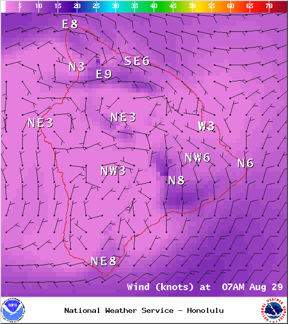
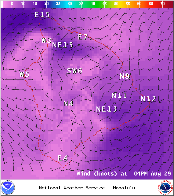
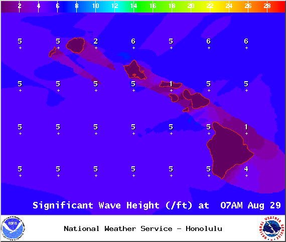
**Click directly on the images below to make them larger. Charts include: Big Island high/low forecasted temperatures, projected winds, chance of cloud cover, projected localized weather conditions, vog/SO2 forecast and expected wave heights.**
Looking Ahead
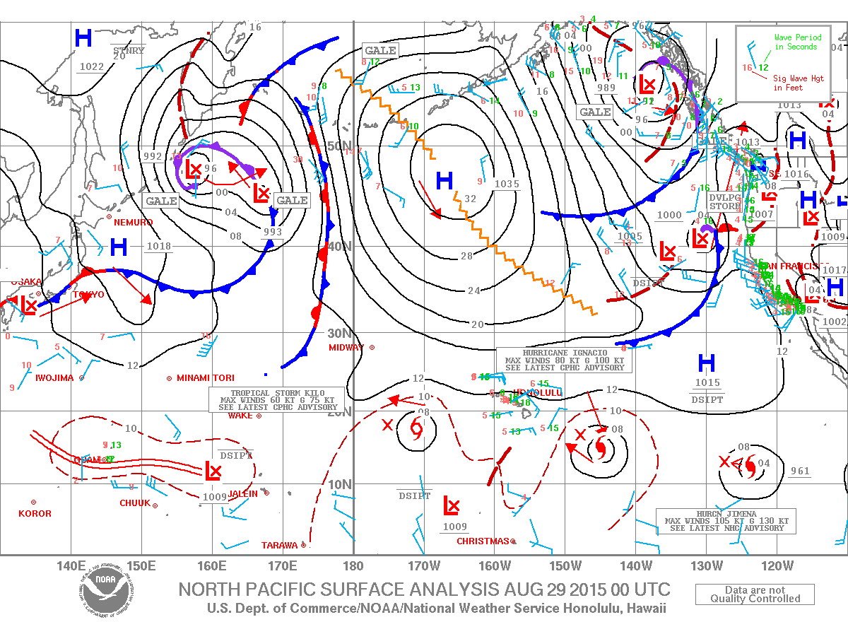
Hot and humid conditions will unfortunately stick around as weak trade winds gradually fill back in. Showers will favor windward and mauka areas and some clouds and showers are still possible over leeward areas Saturday afternoon. Trade winds are expected to pick up during the weekend, though humid conditions will continue. Hurricane Ignacio will approach the state late in the weekend and is expected to affect island weather next week. The cone of uncertainty, which is the potential track given historic track error, includes the entire state. If Ignacio shifts to the right, we could see light winds, more humid conditions, and localized heavy rain. On a more leftward track closer to the islands, we could see stronger/damaging winds and more widespread heavy rain/flooding.
Today
Today we expect partly sunny skies with scattered showers. Hazy skies are forecasted for the Kona side (see UHSOEST vog map above) in the afternoon with sunshine in the morning and building clouds with isolated showers forecasted for the afternoon. High temperatures from 85° to 90°. Trade winds from 5 to 15 mph are forecasted.
UV index at 12 (“extreme” exposure level)
Tonight
Trade winds are expected this evening from 15 to 20 mph. Low temperatures from 73° to 78°. Mostly cloudy skies are expected with showers likely in windward spots and clearing as the night goes on for lee spots.
Our Big Island Now Weather homepage always includes daily: Sunrise | Sunset | Moonrise | Moonset | Moon Phase | Live Weather Cams | 5-day Forecast | Current Temperature & Conditions


