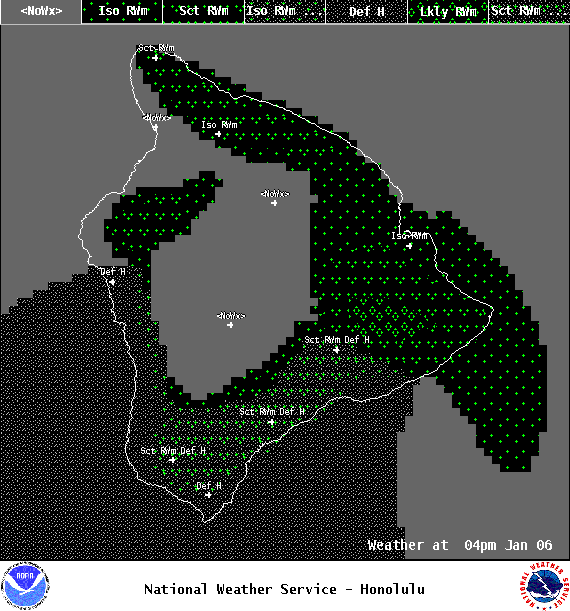
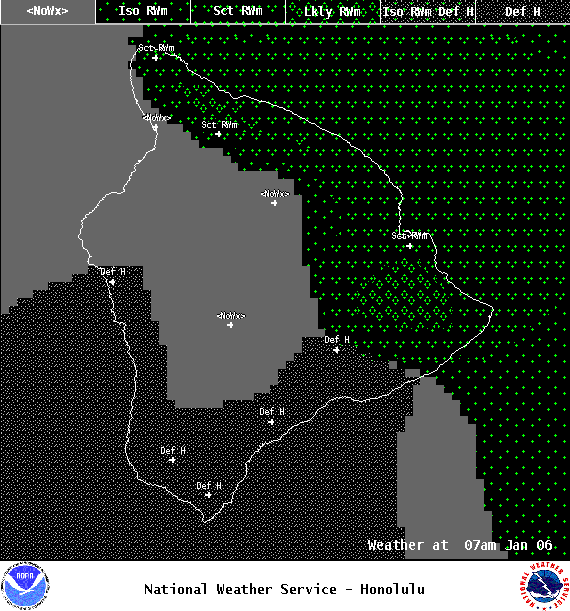
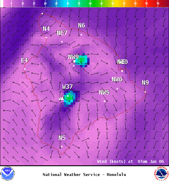
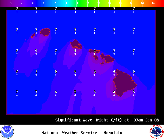
**Click directly on the images below to make them larger. Charts include: Big Island high/low forecasted temperatures, projected winds, chance of cloud cover, projected localized weather conditions, vog/SO2 forecast and expected wave heights.**
+
SWIPE LEFT OR RIGHT
ARTICLE CONTINUES BELOW AD
ARTICLE CONTINUES BELOW AD
Looking Ahead
A weak and dissipating frontal band currently over Maui county will slide toward the Big Island through Friday, bringing clouds and a few light showers to windward areas. A cool and dry northerly flow will spread from north to south behind the dissipating front, and island weather will continue to be chilly the next couple of days. Another brief increase in windward showers is expected Friday night and Saturday as another frontal band moves over the islands from the north. Light and variable winds, mostly dry and somewhat warmer conditions are expected for much of next week, but vog from the Big Island may spread to the smaller islands.
ARTICLE CONTINUES BELOW AD
Today
Partly to mostly cloudy skies are expected today with scattered showers for windward spots. Hazy for the Kona side with sunny skies in the morning and scattered afternoon showers as cloud cover builds. High temperatures from 77° to 82°. Winds will be north up to 15 mph.
UV index at 7 (“high” exposure level)
ARTICLE CONTINUES BELOW AD
Tonight
Northeast winds are forecast up to 15 mph. Partly cloudy skies with scattered showers for windward spots and mostly clear in lee areas. Low temperatures from 64° to 70° and cooler at higher elevations.
This comments section is a public community forum for the purpose of free expression. Although Big Island Now encourages respectful communication only, some content may be considered offensive. Please view at your own discretion. View Comments