Outlook through Saturday September 08: The small south-southwest swell filling in today will hold through Sunday, then fade into the holiday. A combination of choppy short period surf and a small swell from Hurricane Miriam will keep the surf up along east facing shores through the weekend. This swell will become reinforced by a larger east swell from distant Hurricane Norman Tuesday through midweek. Surf will likely exceed advisory levels Wednesday and potentially near warning levels.
Surf heights are forecast heights of the face, or front, of waves. The surf forecast is based on the significant wave height, the average height of the one third largest waves, at the locations of the largest breakers. Some waves may be more than twice as high as the significant wave height. Expect to encounter rip currents in or near any surf zone.
North East
ampm
ARTICLE CONTINUES BELOW AD
ARTICLE CONTINUES BELOW AD
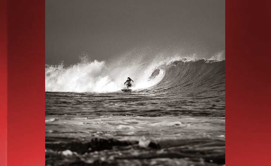
Surf: Stomach to shoulder high ESE medium period swell.
Conditions: Light sideshore texture in the morning with NW winds 5-10mph. Semi choppy conditions for the afternoon with the winds shifting NNW 10-15mph.
North West
ampm
Surf: Ankle to knee high NNE wind swell for the morning going more SSW during the day.
ARTICLE CONTINUES BELOW AD
Conditions: Semi glassy in the morning with NE winds less than 5mph. Bumpy/choppy conditions for the afternoon with the winds shifting N 10-15mph.
West
ampm
Surf: Knee high ground swell with occasional waist sets. The swell will be coming from the WNW in the morning and shift to the SSW during the day.
Conditions: Clean in the early morning with ENE winds less than 5mph. Bumpy/semi bumpy conditions move in during the morning hours with the winds shifting WNW 5-10mph.
ARTICLE CONTINUES BELOW AD
South East
ampm
Surf: Stomach to shoulder high E medium period swell.
Conditions: Clean in the morning with NNW winds 5-10mph. Fairly clean conditions for the afternoon with the winds shifting N 10-15mph.
Image: NOAA
Image: NOAA
Image: NOAA
Image: NOAA
Image: NOAA
Image: NOAA
**Click directly on the images below to make them larger. Charts include: Hawaii County projected winds, tides, swell direction & period and expected wave heights.**
This comments section is a public community forum for the purpose of free expression. Although Big Island Now encourages respectful communication only, some content may be considered offensive. Please view at your own discretion. View Comments