**Click directly on the images below to make them larger. Charts include: Hawaii Island high/low forecasted temperatures, projected winds, projected localized weather conditions and expected wave heights.**
+
SWIPE LEFT OR RIGHT
Looking Ahead
A low level trough will bring unstable air and convective showers spreading from east to west today and tomorrow with isolated thunderstorm activity. Frequent showers will develop along windward and mountain slopes later this morning through the overnight hours. Shower activity will trend drier on Monday and Tuesday as more stable air arrives from the east. Hurricane Lane remains too far away to determine any local impacts to the Hawaiian Islands just yet. The latest forecast for Lane tracks the Hurricane through the region near the islands through the middle of next week.
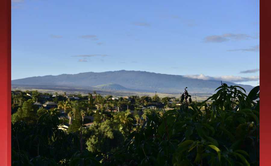
Hilo
ARTICLE CONTINUES BELOW AD
ARTICLE CONTINUES BELOW AD
This Afternoon: Frequent showers and possibly a thunderstorm. Some of the storms could produce heavy rainfall. High near 85. East wind 5 to 8 mph. Chance of precipitation is 80%. New rainfall amounts of less than a tenth of an inch, except higher amounts possible in thunderstorms.
Tonight: Frequent showers and possibly a thunderstorm. Some of the storms could produce heavy rainfall. Low around 68. East wind around 5 mph becoming calm in the evening. Chance of precipitation is 80%. New precipitation amounts between a tenth and quarter of an inch, except higher amounts possible in thunderstorms.
Sunday: Scattered showers, with thunderstorms also possible after noon. Some of the storms could produce heavy rainfall. Cloudy, with a high near 86. Heat index values as high as 95. Calm wind becoming east northeast 5 to 8 mph. Chance of precipitation is 50%. New rainfall amounts of less than a tenth of an inch, except higher amounts possible in thunderstorms.
Kona
This Afternoon: Scattered showers. The rain could be heavy at times. Widespread haze. Cloudy, with a high near 81. Southwest wind 3 to 6 mph. Chance of precipitation is 40%. New precipitation amounts of less than a tenth of an inch possible.
ARTICLE CONTINUES BELOW AD
Tonight: Scattered showers, mainly before midnight. The rain could be heavy at times. Widespread haze. Mostly cloudy, with a low around 69. Light and variable wind. Chance of precipitation is 30%. New precipitation amounts between a tenth and quarter of an inch possible.
Sunday: Scattered showers after noon. The rain could be heavy at times. Widespread haze. Partly sunny, with a high near 82. Calm wind becoming west around 6 mph. Chance of precipitation is 40%. New precipitation amounts of less than a tenth of an inch possible.
Waimea
This Afternoon: Showers likely and possibly a thunderstorm. Some of the storms could produce heavy rainfall. Mostly cloudy, with a high near 81. Breezy, with a northeast wind around 15 mph, with gusts as high as 21 mph. Chance of precipitation is 70%. New rainfall amounts between a tenth and quarter of an inch, except higher amounts possible in thunderstorms.
Tonight: Showers likely and possibly a thunderstorm. Some of the storms could produce heavy rainfall. Mostly cloudy, with a low around 60. Breezy, with a northeast wind 10 to 16 mph, with gusts as high as 22 mph. Chance of precipitation is 60%. New precipitation amounts between a half and three quarters of an inch possible.
ARTICLE CONTINUES BELOW AD
Sunday: Scattered showers, then showers likely and possibly a thunderstorm after noon. Some of the storms could produce heavy rainfall. Partly sunny, with a high near 80. Breezy, with a northeast wind 10 to 18 mph, with gusts as high as 25 mph. Chance of precipitation is 60%. New rainfall amounts between a quarter and half of an inch possible.
Kohala
This Afternoon: Frequent showers and possibly a thunderstorm. Some of the storms could produce heavy rainfall. High near 67. East northeast wind 11 to 14 mph, with gusts as high as 18 mph. Chance of precipitation is 80%. New rainfall amounts of less than a tenth of an inch, except higher amounts possible in thunderstorms.
Tonight: Frequent showers and possibly a thunderstorm. Some of the storms could produce heavy rainfall. Low around 55. Breezy, with an east northeast wind 14 to 16 mph, with gusts as high as 22 mph. Chance of precipitation is 80%. New precipitation amounts of less than a tenth of an inch, except higher amounts possible in thunderstorms.
Sunday: Showers likely, with thunderstorms also possible after noon. Some of the storms could produce heavy rainfall. Partly sunny, with a high near 66. Breezy, with an east northeast wind 14 to 16 mph, with gusts as high as 22 mph. Chance of precipitation is 70%. New rainfall amounts of less than a tenth of an inch, except higher amounts possible in thunderstorms.
South Point
This Afternoon: Showers likely. The rain could be heavy at times. Widespread haze. Mostly cloudy, with a high near 81. Windy, with an east wind 20 to 23 mph, with gusts as high as 30 mph. Chance of precipitation is 60%. New precipitation amounts of less than a tenth of an inch possible.
Tonight: Showers likely, mainly before midnight. The rain could be heavy at times. Widespread haze. Mostly cloudy, with a low around 79. Windy, with an east wind 18 to 23 mph, with gusts as high as 30 mph. Chance of precipitation is 70%. New precipitation amounts of less than a tenth of an inch possible.
Sunday: Scattered showers. The rain could be heavy at times. Widespread haze. Partly sunny, with a high near 81. Breezy, with an east wind 18 to 22 mph, with gusts as high as 28 mph. Chance of precipitation is 50%. New precipitation amounts of less than a tenth of an inch possible.
Puna
This Afternoon: Frequent showers and possibly a thunderstorm. Some of the storms could produce heavy rainfall. High near 84. East northeast wind 6 to 9 mph. Chance of precipitation is 90%. New rainfall amounts between a tenth and quarter of an inch, except higher amounts possible in thunderstorms.
Tonight: Frequent showers and possibly a thunderstorm. Some of the storms could produce heavy rainfall. Low around 66. East northeast wind around 6 mph becoming light and variable. Chance of precipitation is 100%. New precipitation amounts between a half and three quarters of an inch possible.
Sunday: Showers likely, with thunderstorms also possible after noon. Some of the storms could produce heavy rainfall. Mostly cloudy, with a high near 85. West wind 5 to 10 mph becoming northeast in the morning. Chance of precipitation is 70%. New rainfall amounts between a quarter and half of an inch possible.
Waikoloa
This Afternoon: Isolated showers. The rain could be heavy at times. Mostly sunny, with a high near 86. Northwest wind 5 to 8 mph. Chance of precipitation is 20%.
Tonight: Isolated showers. The rain could be heavy at times. Partly cloudy, with a low around 70. West northwest wind around 5 mph becoming calm. Chance of precipitation is 20%.
Sunday: Isolated showers after noon. The rain could be heavy at times. Mostly sunny, with a high near 86. Calm wind becoming west northwest 5 to 8 mph in the afternoon. Chance of precipitation is 20%.
This comments section is a public community forum for the purpose of free expression. Although Big Island Now encourages respectful communication only, some content may be considered offensive. Please view at your own discretion. View Comments