In the early stages of the eruption in Leilani Estates, the immediate concern was for the safety and evacuation of the affected Puna residents and community. But applying “lessons learned” from the 2014 Pāhoa lava flow, advanced planning was quickly implemented to track, document, and map the eruptions impact on the ‘Aina (Land) and surrounding physical environment using unmanned aerial vehicles (UAVs).
Hawai‘i Civil Defense, U.S. Geological Survey (USGS), and the University of Hawai‘i at Hilo implemented UAV (or drone) flights to track the volcano’s lava flow.Supported by ground staff, another objective was to obtain accurate 3-Dimensional digital data that can be used for future calculations of new volcanic land areas, ground deformation/changes, and flow volumes. The information gathered during these UAV flights and subsequent digital maps may also help with predicting future “breakouts” of the lava flow based upon patterns of lava expansion and shrinkage—a very new and high-tech method that was first used and documented during the 2014 Pāhoa Lava flow.
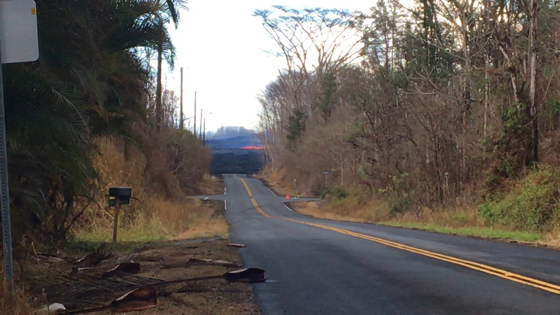
Drones were used to track lava flows. PC: Stantec Consulting Services Inc.
Accurately mapping the changes in the ‘aina begins with survey ground control points (GCP’s) that must be strategically placed on the ground and “tied” to a known horizontal and vertical datum for the UAS software to produce 3D models and maps of the eruptions, fissures, and volcano in order to track her impact on the environment over the course of this event.
Drones were used to track lava flows. PC: Stantec Consulting Services Inc.
Knowing the importance and the need for accurate survey GCP’s for UAS mapping, Stantec donated their geomatics/land survey expertise to assist UH Hilo with mapping and documenting the current eruption occurring in Leilani Estates. The UAS mapping continues to this day.
ARTICLE CONTINUES BELOW AD
ARTICLE CONTINUES BELOW AD
“Accurate and absolute GCP’s is the backbone to UAS mapping and the eventual scientific studies being done by my friends at UH Hilo,” said Victor Rasgado, a professional land surveyor with Stantec in Hawaii, which is supporting the drone flights by providing the ground-based GPS survey field methods and office post-processing needed to produce quality GCP’s. Frontier Precision is involved by providing GPS receivers and support.
This comments section is a public community forum for the purpose of free expression. Although Big Island Now encourages respectful communication only, some content may be considered offensive. Please view at your own discretion. View Comments