

Trade Swell Holds, Most Northerly Exposures Flat

Image: James Grenz
Alerts (as of 1:00 a.m.)
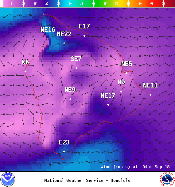
Small Craft Advisory: In effect through 6 p.m. Tuesday
**Click directly on the images below to make them larger. Charts include: Big Island projected winds, tides, swell direction & period and expected wave heights.**
Big Island Surf Forecast
Hilo side: Surf heights are expected to be waist high or less today.
Kona side: Surf heights are expected to be up to knee/thigh/waist high at today.
South: Surf heights are expected to be up to knee/thigh/waist high at today.
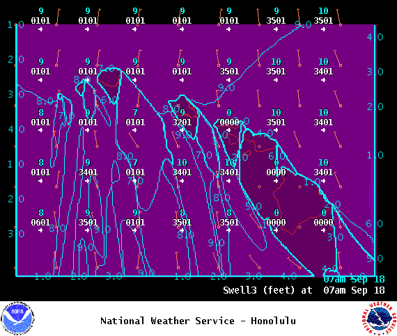
Our current southwest is easing. We have potential of another Tasman swell later this month.
Our current northerly swell is below advisory levels and is continuing to fade Monday with most spots flat along the north exposures. A couple of small swells are possible this week.
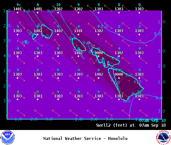
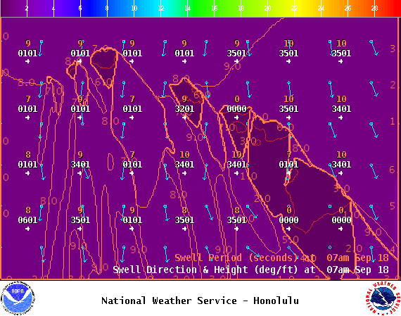
Short period trade swell is expected.
Keep in mind, surf heights are measured on the face of the wave from trough to crest. Heights vary from beach to beach, and at the same beach, from break to break.
**Click here for your detailed Big Island weather report.**
Image; NOAA
Image; NOAA
Image; NOAA
Image; NOAA

Image; NOAA

Image; NOAA

Image; NOAA


Sponsored Content

