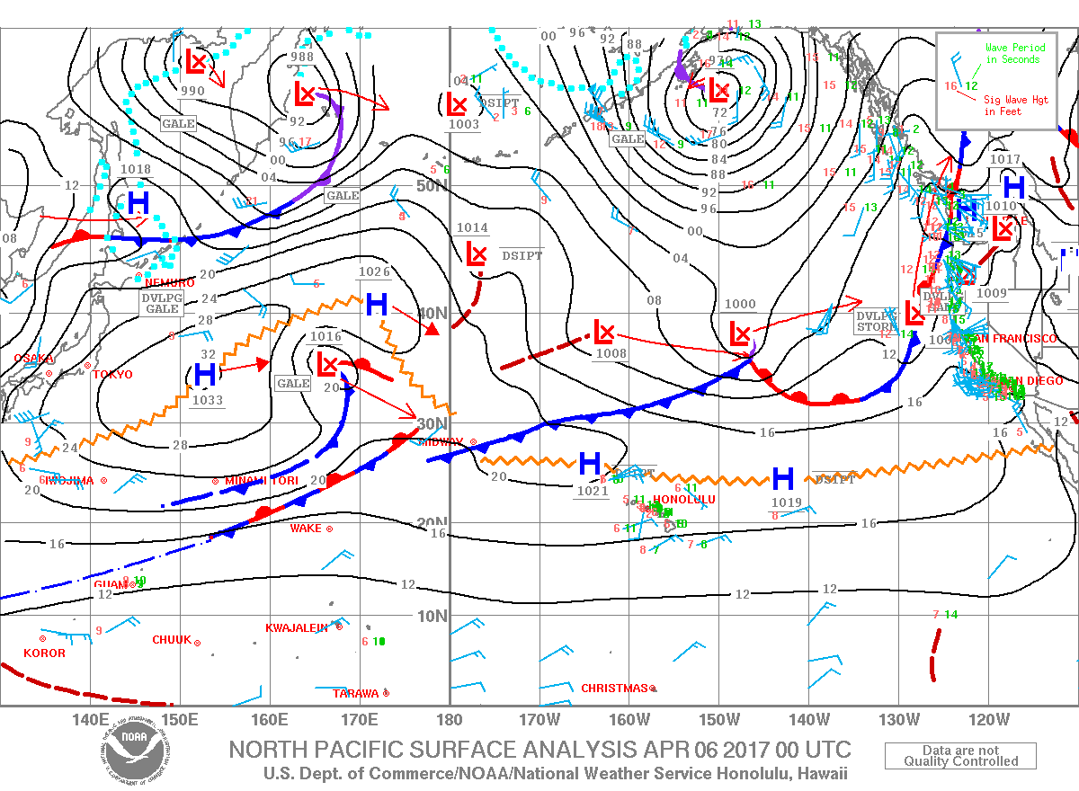
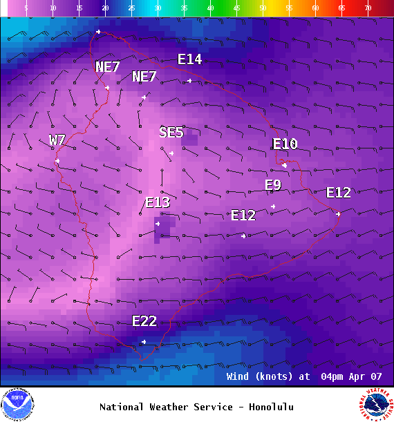
**Click directly on the images below to make them larger. Charts include: Big Island projected winds, tides, swell direction & period and expected wave heights.**
ARTICLE CONTINUES BELOW AD
ARTICLE CONTINUES BELOW AD
+
SWIPE LEFT OR RIGHT
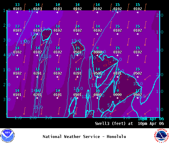
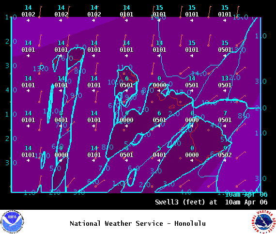
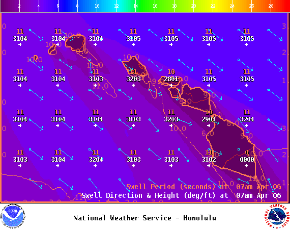
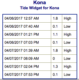
Big Island Surf Forecast
Hilo side: Wave heights are forecast to be shoulder/head high today.
ARTICLE CONTINUES BELOW AD
Kona side: Wave heights are expected to be knee/thigh high today.
South: Wave heights are expected to be knee/thigh high today.
Our current small south-southwest swell will keep wave heights around knee/thigh high range through Sunday. A modest south-southwest is possible from the 14th to the 17th.
Only minimal northwest energy expected through the week. We might see a new swell around the 12th, still pending development.
ARTICLE CONTINUES BELOW AD
Keep in mind, surf heights are measured on the face of the wave from trough to crest. Heights vary from beach to beach, and at the same beach, from break to break.
This comments section is a public community forum for the purpose of free expression. Although Big Island Now encourages respectful communication only, some content may be considered offensive. Please view at your own discretion. View Comments