New USGS Map, Photos and Video
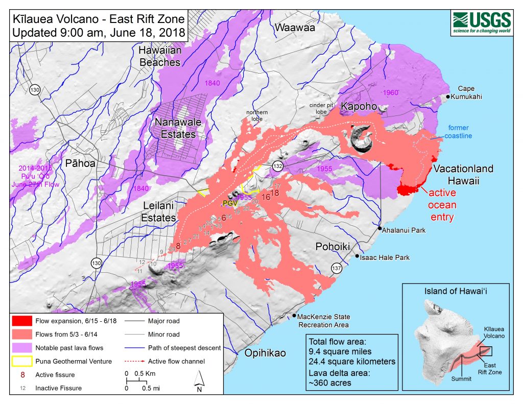
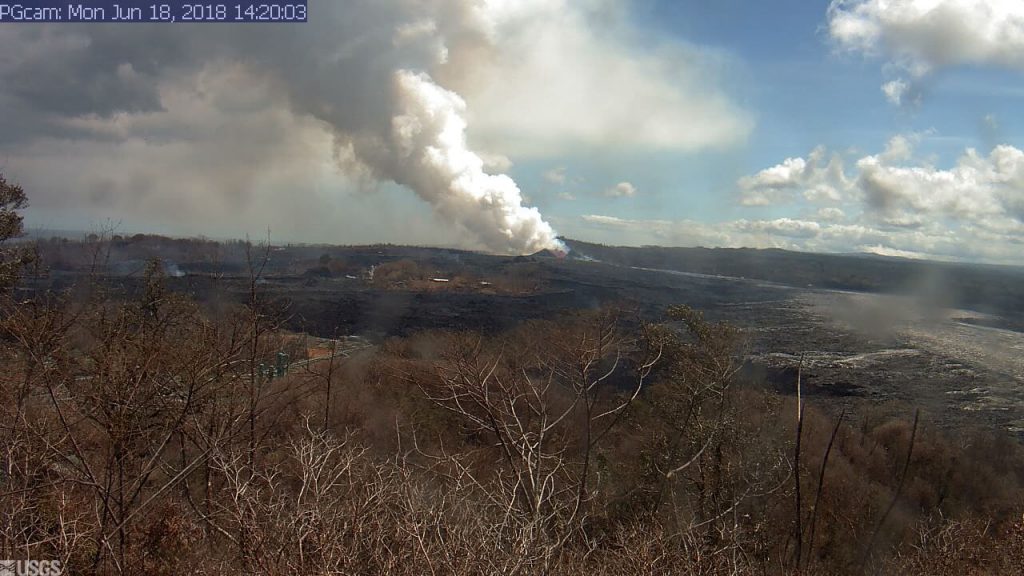
The U.S. Geological Survey released this map, photos and video of the East Rift Zone on Monday, June 18, 2018.
Map as of 9 a.m., June 18, 2018.
Given the dynamic nature of Kīlauea’s lower East Rift Zone eruption, with changing vent locations, fissures starting and stopping, and varying rates of lava effusion, map details shown here are accurate as of the date/time noted. Shaded purple areas indicate lava flows erupted in 1840, 1955, 1960, and 2014-2015.
Kīlauea Volcano’s lower East Rift Zone
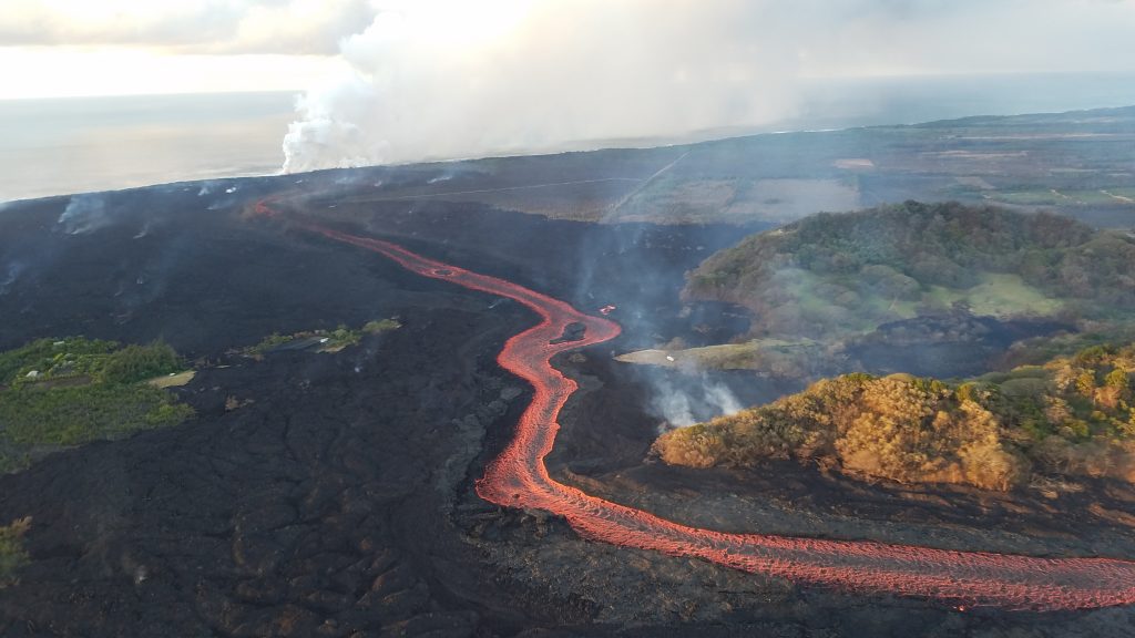
Fissure 8 lava flows in an open channel all the way to the ocean. Kapoho Crater is the vegetated hill on the right side of the photograph.
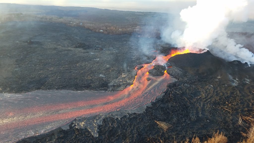
Fissure 8 cone and channelized lava flow.
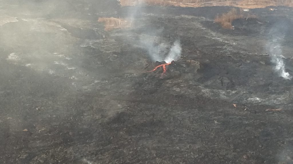
Fissure 6 (photo center) showed signs of activity overnight, producing small amounts of spatter and feeding short lava flows.
ADVERTISEMENT
ad_queue.push(“14||28||49”);
ad_queue.push(“14||28||50”);
ad_queue.push(“14||28||75”);
var mobile_text_ad_hide = function(){ if(jQuery(window).width() > 600) { jQuery(“.mobile_text_ads”).hide(); } }; jquery_queue.push(“mobile_text_ad_hide();”);
Seismic event generates weak plume captured by Halemaʻumaʻu webcam on June 18, 2018.
On June 18, 2018, at 6:13 a.m, a seismic event occurred at Halema‘uma‘u that produced a relatively ash-poor gas plume that rose about 1,600 feet above the crater. The activity was captured by the Halema‘uma‘u Wide Angle webcam located in the USGS–Hawaiian Volcano Observatory Observation Tower. The plume dissipated quickly.


