**Click directly on the images below to make them larger. Charts include: Hawaii Island high/low forecasted temperatures, projected winds, projected localized weather conditions and expected wave heights.**
+
SWIPE LEFT OR RIGHT
Looking Ahead
Tropical Storm Olivia is forecast to move west across the main Hawaiian Islands tonight through tomorrow. The atmosphere over the islands will remain very moist through Saturday evening. A low aloft far northeast of the islands will move southeast, passing northwest of Kauai on Thursday. Instability from this low combined with moisture from Olivia will keep the weather wet through Saturday evening. A surface high will build far northeast of the state early next week and drier air will spread west over the islands.
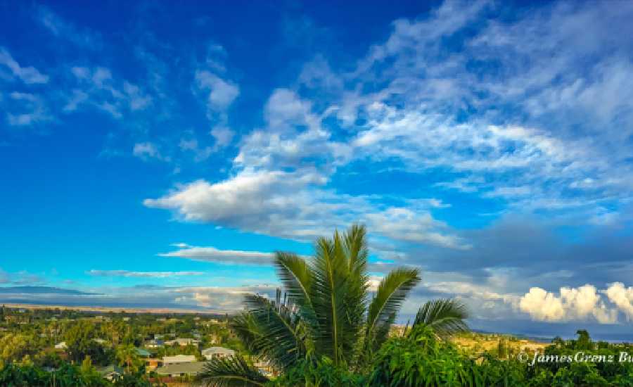
Hilo
ARTICLE CONTINUES BELOW AD
ARTICLE CONTINUES BELOW AD
This Afternoon: Showers likely. Mostly cloudy, with a high near 88. North wind 6 to 14 mph becoming west. Winds could gust as high as 18 mph. Chance of precipitation is 70%.
Tonight: Frequent showers. The rain could be heavy at times. Low around 71. West wind around 6 mph becoming light and variable. Chance of precipitation is 100%. New precipitation amounts between a tenth and quarter of an inch possible.
Wednesday: Frequent showers. The rain could be heavy at times. High near 87. Breezy, with a southeast wind 5 to 10 mph increasing to 13 to 18 mph in the morning. Winds could gust as high as 25 mph. Chance of precipitation is 100%. New precipitation amounts between a tenth and quarter of an inch possible.
Kona
This Afternoon: Isolated showers. Mostly sunny, with a high near 88. West northwest wind 5 to 8 mph becoming east northeast. Chance of precipitation is 20%.
ARTICLE CONTINUES BELOW AD
Tonight: Showers likely, mainly after midnight. The rain could be heavy at times. Mostly cloudy, with a low around 68. Calm wind becoming south southeast 5 to 8 mph after midnight. Chance of precipitation is 60%. New precipitation amounts of less than a tenth of an inch possible.
Wednesday: Frequent showers. The rain could be heavy at times. High near 88. South southwest wind 6 to 14 mph, with gusts as high as 18 mph. Chance of precipitation is 90%. New precipitation amounts of less than a tenth of an inch possible.
Waimea
This Afternoon: Scattered showers. Partly sunny, with a high near 83. Northeast wind 8 to 11 mph. Chance of precipitation is 40%. New precipitation amounts between a half and three quarters of an inch possible.
Tonight: Frequent showers. The rain could be heavy at times. Low around 61. East northeast wind 7 to 11 mph becoming southwest after midnight. Chance of precipitation is 100%. New precipitation amounts between 2 and 3 inches possible.
ARTICLE CONTINUES BELOW AD
Wednesday: Frequent showers. The rain could be heavy at times. High near 84. Southwest wind 5 to 10 mph becoming northeast in the morning. Chance of precipitation is 100%. New precipitation amounts between three quarters and one inch possible.
Kohala
This Afternoon: Showers likely. Mostly cloudy, with a high near 70. Northeast wind around 11 mph. Chance of precipitation is 60%. New precipitation amounts between 1 and 2 inches possible.
Tonight: Tropical storm conditions possible. Frequent showers. The rain could be heavy at times. Low around 56. Chance of precipitation is 100%. New precipitation amounts in excess of 4 inches possible.
Wednesday: Frequent showers. The rain could be heavy at times. High near 71. West wind 5 to 11 mph becoming east northeast in the morning. Chance of precipitation is 100%. New precipitation amounts between 2 and 3 inches possible.
South Point
This Afternoon: Isolated showers. Mostly sunny, with a high near 87. West wind 6 to 13 mph. Chance of precipitation is 20%.
Tonight: Scattered showers. The rain could be heavy at times. Mostly cloudy, with a low around 76. West wind 5 to 7 mph becoming calm after midnight. Chance of precipitation is 50%. New precipitation amounts of less than a tenth of an inch possible.
Wednesday: Frequent showers. The rain could be heavy at times. High near 87. Breezy, with a light and variable wind becoming east 17 to 22 mph in the afternoon. Winds could gust as high as 28 mph. Chance of precipitation is 80%. New precipitation amounts between 2 and 3 inches possible.
Puna
This Afternoon: Showers likely. Cloudy, with a high near 87. North wind 6 to 13 mph becoming west southwest. Chance of precipitation is 70%.
Tonight: Frequent showers. The rain could be heavy at times. Low around 69. Southwest wind 6 to 13 mph. Chance of precipitation is 100%. New precipitation amounts between 1 and 2 inches possible.
Wednesday: Frequent showers. The rain could be heavy at times. High near 87. Breezy, with a south southeast wind 11 to 17 mph, with gusts as high as 24 mph. Chance of precipitation is 100%. New precipitation amounts between 1 and 2 inches possible.
Waikoloa
This Afternoon: Isolated showers. Partly sunny, with a high near 91. North northeast wind 10 to 14 mph, with gusts as high as 18 mph. Chance of precipitation is 20%.
Tonight: Frequent showers. The rain could be heavy at times. Low around 69. East wind 6 to 14 mph becoming west southwest after midnight. Winds could gust as high as 18 mph. Chance of precipitation is 90%. New precipitation amounts between a tenth and quarter of an inch possible.
Wednesday: Frequent showers. The rain could be heavy at times. High near 89. West southwest wind 5 to 8 mph becoming east northeast in the afternoon. Chance of precipitation is 90%. New precipitation amounts of less than a tenth of an inch possible.
This comments section is a public community forum for the purpose of free expression. Although Big Island Now encourages respectful communication only, some content may be considered offensive. Please view at your own discretion. View Comments