

July 03, 2018 Surf Forecast
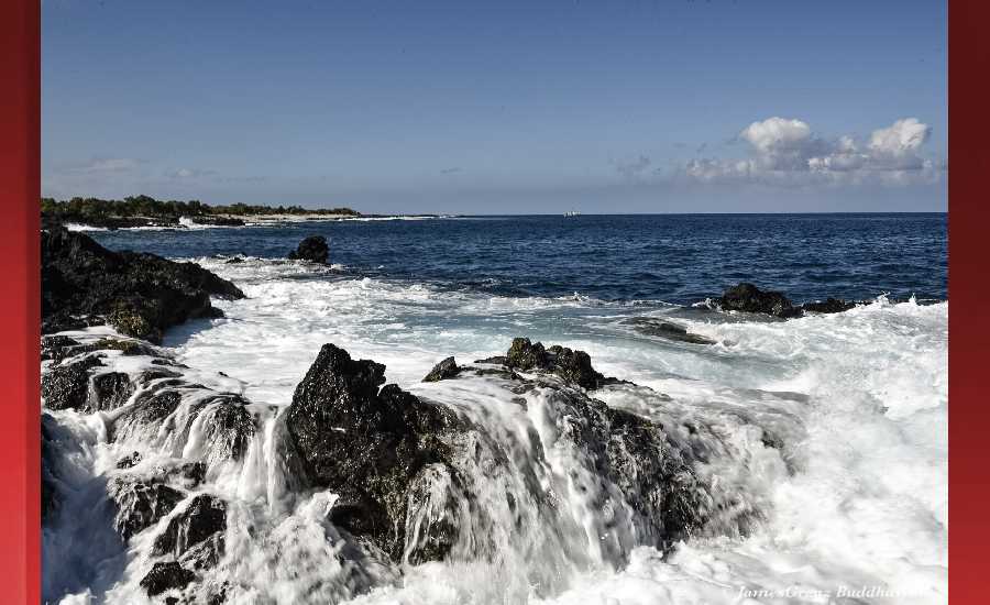
Photo: James Grenz
Swell Summary
Outlook through Monday July 09: A series of small southerly swells can be expected through the week and into the weekend. Strengthening trade winds will cause a gradual increase in short period choppy surf along east facing shores. This combined with a longer period east swell from distant Tropical Cyclone Fabio in the Eastern Pacific may cause surf to reach High Surf Advisory levels on east facing shores later this week and into the weekend.
A series of small, to briefly moderate size southerly swells, can be expected through the week and into the weekend. Strengthening trade winds will cause a gradual increase in short period choppy surf along east facing shores. This combined with a longer period east swell from distant Tropical Cyclone Fabio in the Eastern Pacific may cause surf to reach High Surf Advisory levels on east facing shores later this week and into the weekend.
North East
am ![]()
![]() pm
pm ![]()
![]()
Surf: Waist to stomach high ENE short period wind swell with occasional chest high sets.
Conditions: Light sideshore texture in the morning with SE winds 5-10mph. Semi glassy/semi bumpy conditions for the afternoon with the winds shifting to the E. Glassy conditions are expected by late afternoon with NNE winds less than 5mph.
North West
am ![]()
![]() pm
pm ![]()
![]()
Surf: Ankle to knee high SSW ground swell.
Conditions: Light sideshore texture in the morning with NE winds 5-10mph. Choppy/sideshore current conditions for the afternoon with the winds shifting SW 15-20mph.
West
am ![]()
![]() pm
pm ![]()
![]()
Surf: Waist high SSW ground swell with occasional stomach high sets.
Conditions: Glassy in the morning with SW winds less than 5mph. Semi glassy/semi bumpy conditions for the afternoon with the winds shifting WSW 5-10mph.
South East
am ![]()
![]() pm
pm ![]()
![]()
Surf: Waist high medium period swell with occasional stomach sets. The swell will be coming from the SE in the morning and shift to the SSW during the day.
Conditions: Light sideshore texture with NNE winds 10-15mph.

Image: NOAA

Image: NOAA
Image: NOAA

Image: NOAA
Image: NOAA

Image: NOAA
**Click directly on the images below to make them larger. Charts include: Hawaii County projected winds, tides, swell direction & period and expected wave heights.**
Data Courtesy of NOAA.gov and SwellInfo.com
Sponsored Content


