

January 19, 2018 Surf Forecast
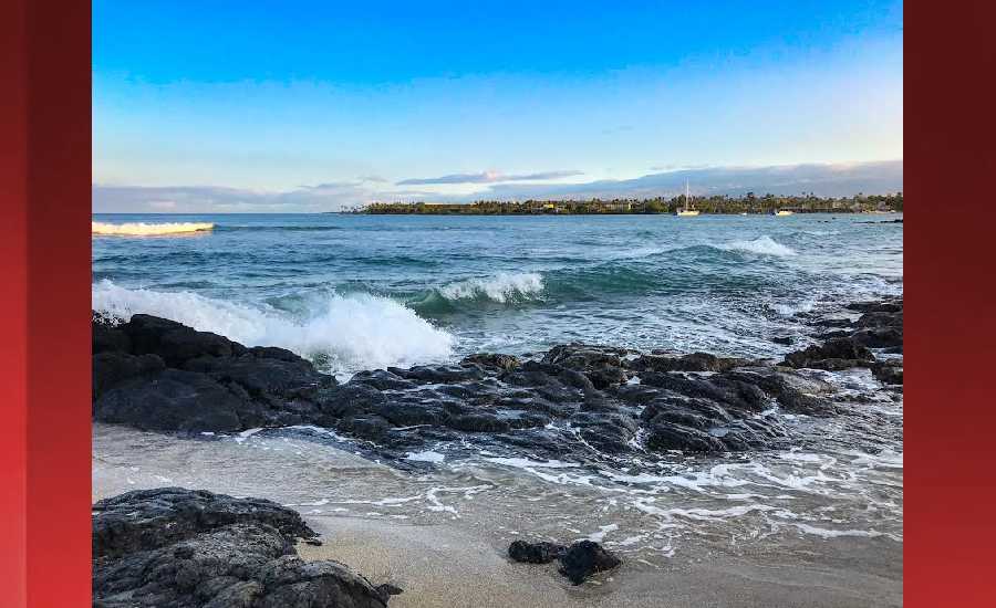
Photo: James Grenz
Swell Summary
Outlook through Thursday January 25: Winds are forecast to trend down over the weekend, but surf along east facing shores will likely hold around advisory levels due to strong trades remaining in place well east of the state. Surf along north and west facing shores will trend down through Friday, remaining below advisory levels through the weekend. A small northwest swell is expected Sunday, that will be reinforced with a moderate northwest swell by Monday, potentially reaching advisory levels. This reinforcement will peak by late Monday, then gradually lower through midweek.
Surf heights are forecast heights of the face, or front, of waves. The surf forecast is based on the significant wave height, the average height of the one third largest waves, at the locations of the largest breakers. Some waves may be more than twice as high as the significant wave height. Expect to encounter rip currents in or near any surf zone.
North East
am ![]()
![]() pm
pm ![]()
![]()
Surf: 1-3′ overhead high E medium period swell for the morning. This rotates more from the ENE during the afternoon.
Conditions: Semi clean/textured in the morning with S winds 15-20mph. Sideshore texture/chop conditions for the afternoon with the winds shifting to the SSE.
North West
am ![]()
![]() pm
pm ![]()
![]()
Surf: Knee to thigh high NNE medium period swell for the morning drops a bit during the afternoon.
Conditions: Glassy in the morning with S winds less than 5mph. Semi glassy/semi bumpy conditions for the afternoon with the winds shifting WNW 5-10mph.
West
am ![]()
![]() pm
pm ![]()
![]()
Surf: Knee to thigh high WNW ground swell.
Conditions: Semi glassy in the morning with SSE winds less than 5mph. Bumpy/semi bumpy conditions for the afternoon with the winds shifting WNW 5-10mph.
South East
am ![]()
![]() pm
pm ![]()
![]()
Surf: Head high E medium period swell with occasional 1-2′ overhead high sets.
Conditions: Clean in the morning with NNW winds 5-10mph. Fairly clean conditions for the afternoon with the winds shifting N 10-15mph.

Image: NOAA

Image: NOAA

Image: NOAA

Image: NOAA

Image: NOAA

Image: NOAA
**Click directly on the images below to make them larger. Charts include: Hawaii County projected winds, tides, swell direction & period and expected wave heights.**
Data Courtesy of NOAA.gov and SwellInfo.com
Sponsored Content


