

NW Swell Fades Today
Alerts
There are no ocean alerts posted at this time.
**Click directly on the images below to make them larger. Charts include: Big Island projected winds, tides, swell direction & period and expected wave heights.**
 Big Island Surf Forecast
Hilo side: Wave heights from waist to head high are expected, the best breaks could be bigger on the sets.
Kona side: Wave heights from ankle to waist high are expected.
South: Wave heights of knee to waist high are expected. Standout spots could get up to chest high or more on the sets.
Our current northwest swell is expected to slowly fade today with short to mid period north-northwest swell energy lingering through Thursday. A west-northwest is expected to move in midweek.
 A south-southeast and south-southwest mix of swells is expected over the next couple of days. South shores are expected to go quiet from Friday through the first part of next week.
Keep in mind, surf heights are measured on the face of the wave from trough to crest. Heights vary from beach to beach, and at the same beach, from break to break.
**Click here for your detailed Big Island weather report.**
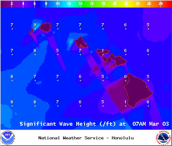
Image: NOAA / NWS

Image: NOAA / NWS

Image: NOAA / NWS
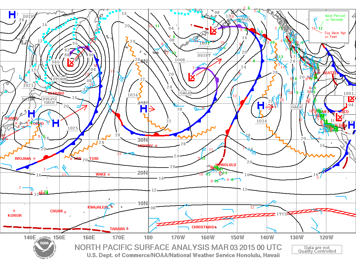
Image: NOAA / NWS
Image: NOAA / NWS
Image: NOAA / NWS
Sponsored Content


