WNW Holds Through The Morning, New Swell For Weekend
Alerts
There are no ocean alerts posted at this time.
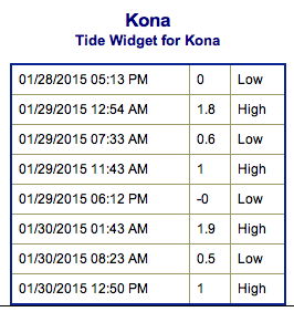
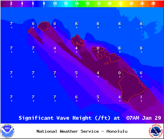
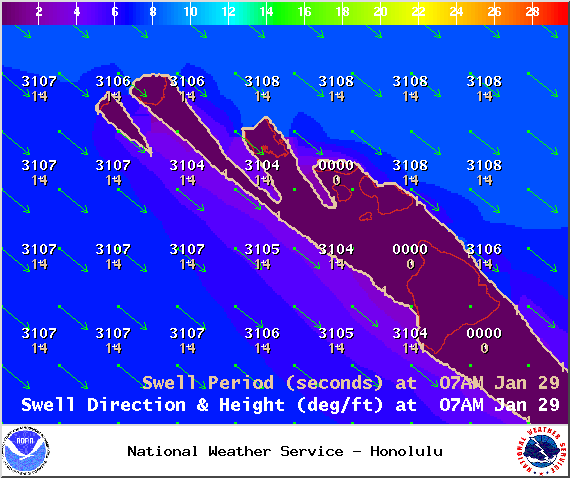
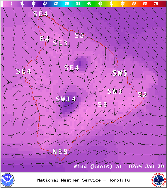
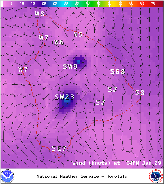
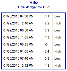
**Click directly on the images below to make them larger. Charts include: Big Island projected winds, tides, swell direction & period and expected wave heights.**
Hilo side: Surf heights are expected waist to chest high. The best breaks open to the swell could see waves shoulder to head high on the sets. Trade swell from knee to waist high.
Kona side: Surf heights are forecasted to be waist to chest high. Head high sets are possible in the morning.
South: Southerly spots open to the west-northwest swell could get waves wrapping waist to chest high. Breaks open to the trade swell could see knee to waist high waves as well.
 Our current west-northwest swell is expected to hold before fading late in the day. The Big Island is heavily shadowed from this swell but surf heights are still expected to be fun today. This swell will fade late Thursday into Friday.
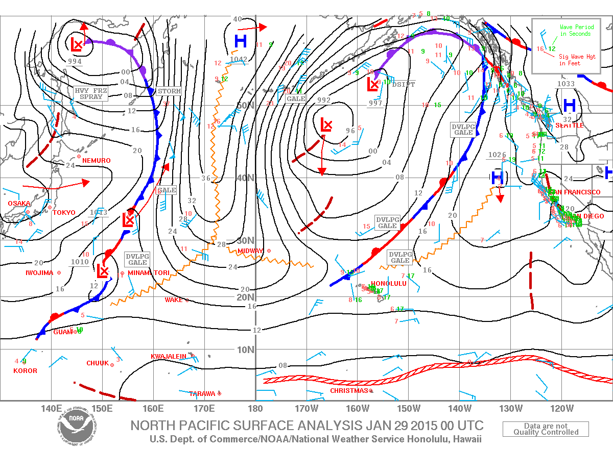
This same storm js expected to bring us a reinforcing swell for the weekend. This time showing strongest for the Hilo side with possible overhead to well overhead surf should the system reorganize as models are anticipating. If so, the swell should build in Friday evening into Saturday morning and peak late Saturday.
That same system could also possibly reorganize in the Gulf of Alaska bringing another shot of surf energy our way for the first week of February.
Nothing to get excited about out of the SPAC.
Keep in mind, surf heights are measured on the face of the wave from trough to crest. Heights vary from beach to beach, and at the same beach, from break to break.


