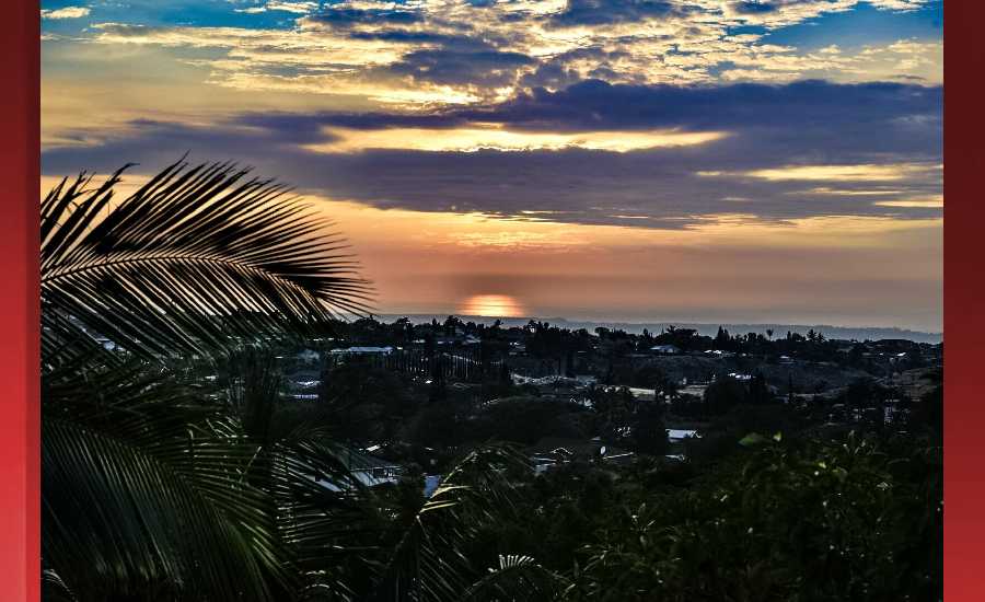
**Click directly on the images below to make them larger. Charts include: Hawaii Island high/low forecasted temperatures, projected winds, projected localized weather conditions and expected wave heights.**
+
SWIPE LEFT OR RIGHT
Looking Ahead
A front will stall out in the vicinity of Kauai today and tonight, with showery weather impacting mainly the smaller islands along with the potential for an isolated thunderstorm. High pressure will build north of the state on Saturday, shifting the unsettled weather westward, so conditions are expected to improve from east to west across the island chain. High pressure will then hold in place north of the state through the remainder of the weekend and through much next week, with moderate to breezy trade winds and mainly windward and mauka showers expected.
Hilo
ARTICLE CONTINUES BELOW AD
ARTICLE CONTINUES BELOW AD
This Afternoon: Scattered showers and thunderstorms. Mostly cloudy, with a high near 80. East northeast wind around 8 mph. Chance of precipitation is 40%. New rainfall amounts of less than a tenth of an inch, except higher amounts possible in thunderstorms.
Tonight: Frequent showers. Low around 64. East northeast wind 5 to 8 mph becoming calm in the evening. Chance of precipitation is 90%. New precipitation amounts of less than a tenth of an inch possible.
Saturday: Showers likely. Mostly cloudy, with a high near 79. Calm wind becoming east northeast 5 to 8 mph. Chance of precipitation is 70%. New precipitation amounts of less than a tenth of an inch possible.
Kona
This Afternoon: Scattered showers and thunderstorms. Mostly cloudy, with a high near 81. West northwest wind around 8 mph. Chance of precipitation is 30%. New rainfall amounts of less than a tenth of an inch, except higher amounts possible in thunderstorms.
ARTICLE CONTINUES BELOW AD
Tonight: Partly cloudy, with a low around 63. West northwest wind 5 to 7 mph becoming calm in the evening.
Saturday: Scattered showers. Partly sunny, with a high near 80. Calm wind becoming west northwest 5 to 7 mph. Chance of precipitation is 30%. New precipitation amounts of less than a tenth of an inch possible.
Waimea
This Afternoon: Scattered showers and thunderstorms. Mostly cloudy, with a high near 74. North northeast wind around 8 mph. Chance of precipitation is 40%. New rainfall amounts between a tenth and quarter of an inch, except higher amounts possible in thunderstorms.
Tonight: Scattered showers. Mostly cloudy, with a low around 56. Breezy, with an east northeast wind 7 to 17 mph, with gusts as high as 24 mph. Chance of precipitation is 50%. New precipitation amounts between a tenth and quarter of an inch possible.
ARTICLE CONTINUES BELOW AD
Saturday: Showers likely. Mostly cloudy, with a high near 73. Breezy, with an east wind around 18 mph, with gusts as high as 25 mph. Chance of precipitation is 60%. New precipitation amounts between a tenth and quarter of an inch possible.
Kohala
This Afternoon: Scattered showers and thunderstorms. Mostly cloudy, with a high near 68. Southeast wind 3 to 5 mph. Chance of precipitation is 40%. New rainfall amounts of less than a tenth of an inch, except higher amounts possible in thunderstorms.
Tonight: Showers likely. Cloudy, with a low around 52. Breezy, with a light southeast wind becoming east 15 to 20 mph in the evening. Winds could gust as high as 28 mph. Chance of precipitation is 70%. New precipitation amounts of less than a tenth of an inch possible.
Saturday: Showers likely. Mostly cloudy, with a high near 67. Breezy, with an east wind around 21 mph, with gusts as high as 29 mph. Chance of precipitation is 70%. New precipitation amounts of less than a tenth of an inch possible.
South Point
This Afternoon: Scattered showers and thunderstorms. Partly sunny, with a high near 78. Breezy, with an east wind around 16 mph, with gusts as high as 21 mph. Chance of precipitation is 30%. New rainfall amounts of less than a tenth of an inch, except higher amounts possible in thunderstorms.
Tonight: Scattered showers. Mostly cloudy, with a low around 73. Windy, with an east northeast wind 15 to 25 mph, with gusts as high as 32 mph. Chance of precipitation is 40%. New precipitation amounts of less than a tenth of an inch possible.
Saturday: Scattered showers. Partly sunny, with a high near 79. Windy, with an east wind 25 to 28 mph, with gusts as high as 37 mph. Chance of precipitation is 40%. New precipitation amounts of less than a tenth of an inch possible.
Puna
This Afternoon: Scattered showers and thunderstorms. Mostly cloudy, with a high near 77. East wind 8 to 10 mph. Chance of precipitation is 40%. New rainfall amounts of less than a tenth of an inch, except higher amounts possible in thunderstorms.
Tonight: Frequent showers. Low around 62. East wind 5 to 10 mph becoming light and variable. Chance of precipitation is 90%. New precipitation amounts between a tenth and quarter of an inch possible.
Saturday: Showers likely. Mostly cloudy, with a high near 76. Northwest wind 8 to 14 mph becoming northeast in the morning. Winds could gust as high as 18 mph. Chance of precipitation is 70%. New precipitation amounts of less than a tenth of an inch possible.
Waikoloa
This Afternoon: Scattered showers and thunderstorms. Mostly cloudy, with a high near 81. West wind 3 to 6 mph. Chance of precipitation is 40%. New rainfall amounts of less than a tenth of an inch, except higher amounts possible in thunderstorms.
Tonight: Mostly clear, with a low around 63. Light and variable wind becoming east 5 to 10 mph after midnight.
Saturday: Sunny, with a high near 80. North northeast wind 6 to 10 mph.
This comments section is a public community forum for the purpose of free expression. Although Big Island Now encourages respectful communication only, some content may be considered offensive. Please view at your own discretion. View Comments