The U.S. Geological Survey released the Hawai‘i Volcano Observatory Weekly Update on Tuesday, Nov. 27, 2018.
Kīlauea Volcano is not erupting. Rates of seismicity, deformation, and gas release have not changed significantly over the past week. Deformation signals are consistent with refilling of the middle East Rift Zone.
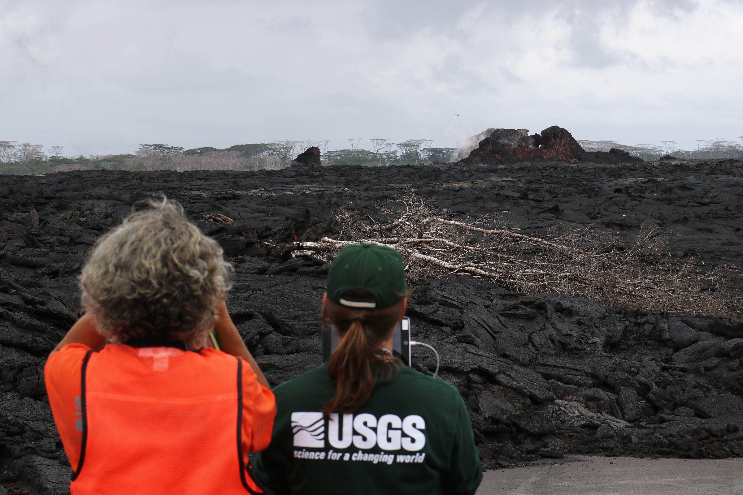
USGS scientists use an Unmanned Aircraft System (UAS, or drone) to fly a MultiGas instrument along Kīlauea Volcano’s lower East Rift Zone to determine concentrations of volcanic gases in small plumes rising from the now inactive fissures. The UAS is barely visible in the distance, just to the upper left of fissure 21 (larger cone at right). Click to enlarge. PC: USGS.
Observations: HVO monitoring during the past week shows low rates of seismicity at the summit and East Rift Zone (ERZ). Earthquakes continue to occur primarily at Kīlauea’s summit and south flank areas.
In the ERZ, tiltmeters near Puʻu ʻŌʻō and farther east reveal little change over the last week. At the summit, tiltmeters recorded a small DI (deflation-inflation) sequence mid-week, followed by slow deflation.
ARTICLE CONTINUES BELOW AD
ARTICLE CONTINUES BELOW AD
Two weeks ago, sulfur dioxide gas emissions averaged 25 tonnes/day at the summit and 75 tonnes/day at Puʻu ʻŌʻō. There was no sulfur dioxide detected by our instruments in the Lower ERZ. New gas measurements are expected soon.
Hazards are still present in the lower East Rift Zone (LERZ) eruption area and at the Kīlauea summit. Residents and visitors near recently active fissures and lava flows should stay informed, heed Hawai‘i County Civil Defense and National Park warnings, and be prepared, if necessary, to self-evacuate in the unlikely event of renewed activity. Note that Hawai‘i County maintains a closure of the entire flow field and the vents and prohibits access to the area unless authorized through Civil Defense.
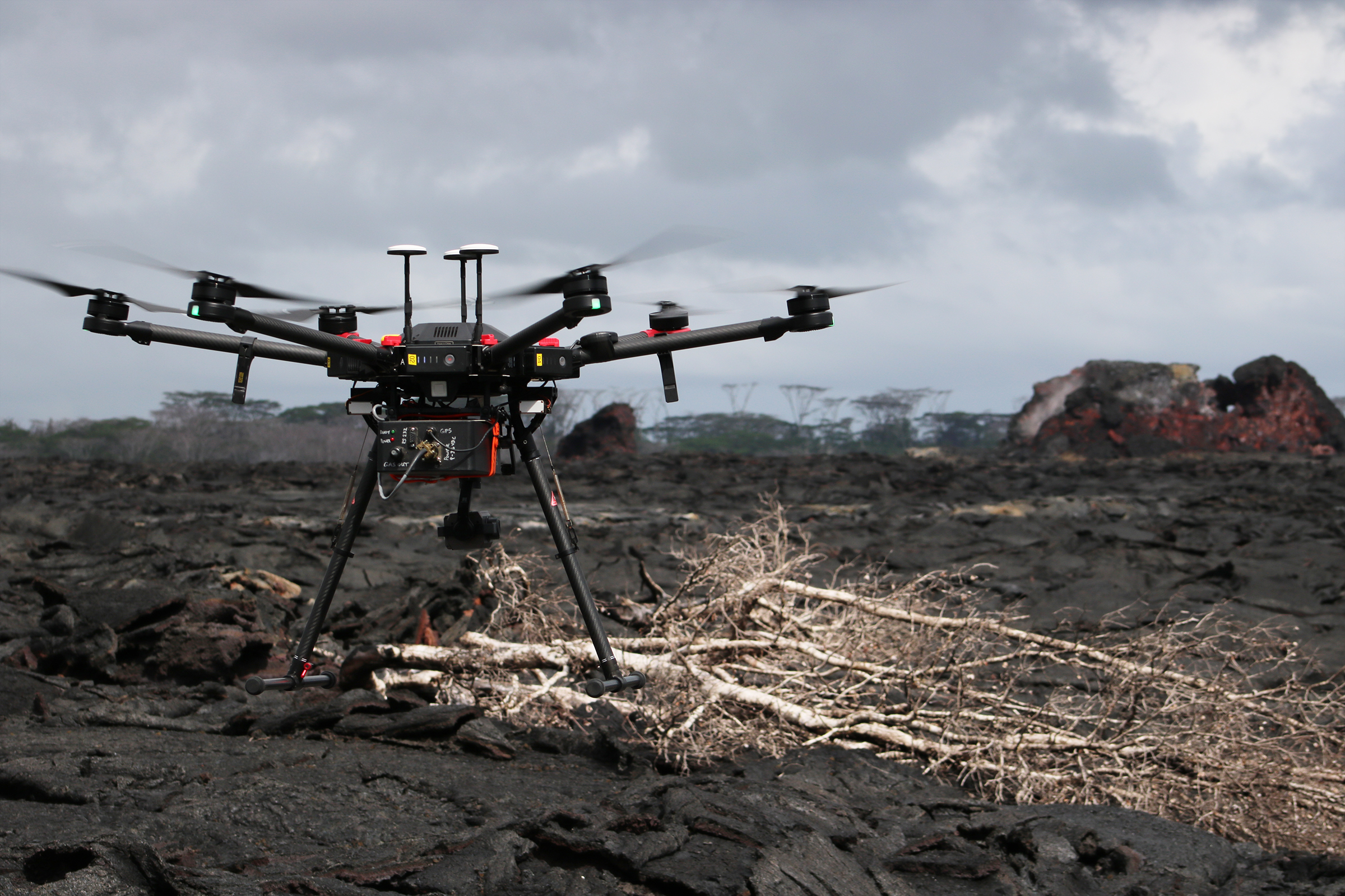
A close-up of the Unmanned Aircraft System (UAS) used by USGS scientists to measure volcanic gases in remote areas of Kīlauea. The Fissure 21 cone is visible in the far right background. Click to enlarge. PC: USGS
The Hawaiian Volcano Observatory (HVO) continues to closely monitor Kīlauea’s seismicity, deformation, and gas emissions for any sign of reactivation, and maintains visual surveillance of the summit and the East Rift Zone. HVO will continue to issue a weekly update (every Tuesday) and additional messages as warranted by changing activity.
This comments section is a public community forum for the purpose of free expression. Although Big Island Now encourages respectful communication only, some content may be considered offensive. Please view at your own discretion. View Comments