After keeping many people on edge, the U.S. Geological Survey has dropped the alert level at Mauna Loa from “Advisory” to “Normal.”
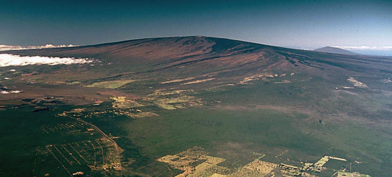
Wikimedia Commons photo of Mauna Loa
HVO seismic and deformation monitoring networks have been recording near background levels of seismicity and ground motion at Mauna Loa Volcano for at least the last six months. These observations indicate that the volcano is no longer at an elevated level of activity. Accordingly, HVO is dropping the Mauna Loa alert level to NORMAL and the aviation color code to GREEN.
HVO continues to monitor the volcano closely and will report any significant changes.
From 2014 through much of 2017, HVO seismic stations recorded variable, but overall elevated rates of shallow, small-magnitude earthquakes beneath Mauna Loa’s summit, upper Southwest Rift Zone, and west flank. During that same time period, HVO measured ground deformation consistent with input of magma into the volcano’s shallow magma storage system.
These observations indicated that volcano was not at background levels of activity and the volcano alert level was raised to ADVISORY and the aviation color code to YELLOW in September 2015. It was noted at the time that the increase in alert level did not mean that an eruption was imminent or that progression to an eruption was certain. Indeed, this episode of unrest lasted several years without progressing to an eruption, similar to the period of unrest from 2004 to 2009.
ARTICLE CONTINUES BELOW AD
ARTICLE CONTINUES BELOW AD
Since late 2017, rates of earthquake occurrence and of ground motion related to inflation of shallow magma reservoirs have slowed to near background levels.
Seismicity has continued to be low during the current activity on Kīlauea volcano. Recent motions recorded by GPS instruments on Mauna Loa are due to the M6.9 Kīlauea south flank earthquake on May 4, 2018 and subsidence at the summit Kīlauea Volcano. None of the activity on Kīlauea volcano has had a detectable effect on Mauna Loa’s magmatic system.
Mauna Loa is the largest active volcano on Earth. Eruptions typically start at the summit and, within minutes to months of eruption onset, about half of the eruptions migrate into either the Northeast or Southwest Rift Zones. Since 1843, the volcano has erupted 33 times with intervals between eruptions ranging from months to decades. Mauna Loa last erupted 34 years ago, in 1984.
Mauna Loa eruptions tend to produce voluminous, fast-moving lava flows that can impact communities on the east and west sides of the Island of Hawai`i. Since the mid-19th century, the city of Hilo in east Hawai’i has been threatened by seven Mauna Loa lava flows. Mauna Loa lava flows have reached the south and west coasts of the island eight times: 1859, 1868, 1887, 1926, 1919 and three times in 1950.
This comments section is a public community forum for the purpose of free expression. Although Big Island Now encourages respectful communication only, some content may be considered offensive. Please view at your own discretion. View Comments