**Click directly on the images below to make them larger. Charts include: Hawaii Island high/low forecasted temperatures, projected winds, projected localized weather conditions and expected wave heights.**
+
SWIPE LEFT OR RIGHT
Looking Ahead
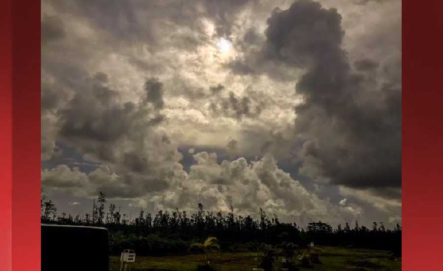
Although the brief dry spell may linger through the day today across much of the state, conditions will begin to evolve quickly tonight through the upcoming weekend as another upper disturbance moves into the area drawing deep tropical moisture northward over the state. Moist and unstable conditions with east-southeast winds will ensue across the Big Island tonight, then over the smaller islands Thursday through the weekend, with another period of heavy showers and thunderstorms expected. The wet pattern may continue into early next week, especially over the western end of the state with east-southeast winds persisting.
Hilo
ARTICLE CONTINUES BELOW AD
ARTICLE CONTINUES BELOW AD
Today: Occasional showers, mainly before 1pm. High near 78. West wind 5 to 9 mph becoming east southeast in the afternoon. Chance of precipitation is 80%. New precipitation amounts of less than a tenth of an inch possible.
Tonight: Occasional showers, with thunderstorms also possible after 1am. Some of the storms could produce heavy rainfall. Low around 65. Southeast wind 5 to 7 mph becoming west after midnight. Chance of precipitation is 100%. New rainfall amounts between three quarters and one inch possible.
Thursday: Occasional showers and possibly a thunderstorm. Some of the storms could produce heavy rainfall. High near 76. Light and variable wind. Chance of precipitation is 100%. New rainfall amounts between a half and three quarters of an inch possible.
Kona
Today: Scattered showers, mainly after noon. Widespread haze. Partly sunny, with a high near 78. West southwest wind 5 to 7 mph becoming calm in the afternoon. Chance of precipitation is 30%. New precipitation amounts of less than a tenth of an inch possible.
ARTICLE CONTINUES BELOW AD
Tonight: Isolated showers. Widespread haze. Mostly cloudy, with a low around 65. Calm wind. Chance of precipitation is 20%.
Thursday: Scattered showers and thunderstorms, mainly after noon. Some of the storms could produce heavy rainfall. Widespread haze. Partly sunny, with a high near 78. Calm wind becoming west around 6 mph. Chance of precipitation is 40%. New rainfall amounts between a quarter and half of an inch possible.
Waimea
Today: Scattered showers, mainly after noon. Mostly cloudy, with a high near 73. Southeast wind 5 to 8 mph becoming north northeast in the afternoon. Chance of precipitation is 40%. New precipitation amounts of less than a tenth of an inch possible.
Tonight: Scattered showers. Mostly cloudy, with a low around 52. North northeast wind around 5 mph becoming calm. Chance of precipitation is 30%. New precipitation amounts between a half and three quarters of an inch possible.
ARTICLE CONTINUES BELOW AD
Thursday: Scattered showers and thunderstorms. Some of the storms could produce heavy rainfall. Partly sunny, with a high near 73. Light and variable wind becoming northwest 6 to 11 mph in the afternoon. Chance of precipitation is 40%. New rainfall amounts between a half and three quarters of an inch possible.
Kohala
Today: Showers likely, mainly after noon. Mostly cloudy, with a high near 69. South southeast wind around 5 mph becoming calm in the morning. Chance of precipitation is 70%. New precipitation amounts of less than a tenth of an inch possible.
Tonight: Scattered showers. Mostly cloudy, with a low around 45. Calm wind becoming east around 5 mph. Chance of precipitation is 40%. New precipitation amounts of less than a tenth of an inch possible.
Thursday: Scattered showers, then showers likely and possibly a thunderstorm after noon. Some of the storms could produce heavy rainfall. Mostly cloudy, with a high near 69. Calm wind becoming southeast 5 to 8 mph in the afternoon. Chance of precipitation is 70%. New rainfall amounts between a tenth and quarter of an inch, except higher amounts possible in thunderstorms.
South Point
Today: Scattered showers. Widespread haze. Mostly cloudy, with a high near 78. Breezy, with a north wind 9 to 16 mph becoming east in the morning. Winds could gust as high as 20 mph. Chance of precipitation is 40%. New precipitation amounts of less than a tenth of an inch possible.
Tonight: Showers likely, with thunderstorms also possible after midnight. Some of the storms could produce heavy rainfall. Widespread haze. Cloudy, with a low around 69. Breezy, with an east wind 13 to 18 mph, with gusts as high as 23 mph. Chance of precipitation is 70%. New rainfall amounts between a tenth and quarter of an inch, except higher amounts possible in thunderstorms.
Thursday: Showers likely and possibly a thunderstorm. Some of the storms could produce heavy rainfall. Widespread haze. Mostly cloudy, with a high near 78. Breezy, with an east wind 18 to 22 mph, with gusts as high as 28 mph. Chance of precipitation is 70%. New rainfall amounts between a tenth and quarter of an inch, except higher amounts possible in thunderstorms.
Puna
Today: Occasional showers. High near 77. West wind 6 to 10 mph becoming southeast in the morning. Chance of precipitation is 90%. New precipitation amounts of less than a tenth of an inch possible.
Tonight: Occasional showers, with thunderstorms also possible after midnight. Some of the storms could produce heavy rainfall. Low around 63. South southeast wind 5 to 7 mph becoming calm in the evening. Chance of precipitation is 100%. New rainfall amounts between 2 and 3 inches possible.
Thursday: Occasional showers and possibly a thunderstorm. Some of the storms could produce heavy rainfall. High near 75. Calm wind becoming east around 6 mph. Chance of precipitation is 90%. New rainfall amounts between 1 and 2 inches possible.
Waikoloa
Today: Isolated showers after noon. Partly sunny, with a high near 79. East southeast wind 5 to 9 mph becoming calm. Chance of precipitation is 20%.
Tonight: Isolated showers before midnight. Mostly cloudy, with a low around 65. West northwest wind around 5 mph becoming calm. Chance of precipitation is 20%.
Thursday: A 20 percent chance of showers and thunderstorms after noon. Some of the storms could produce heavy rainfall. Mostly sunny, with a high near 79. Light and variable wind becoming west northwest 5 to 10 mph.
This comments section is a public community forum for the purpose of free expression. Although Big Island Now encourages respectful communication only, some content may be considered offensive. Please view at your own discretion. View Comments