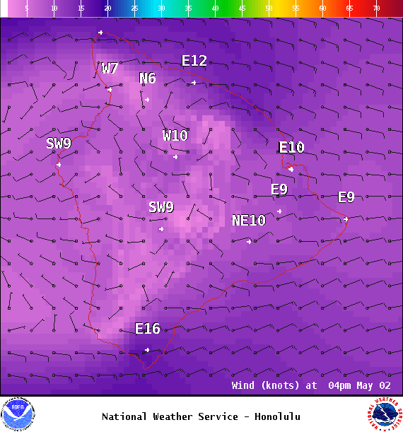
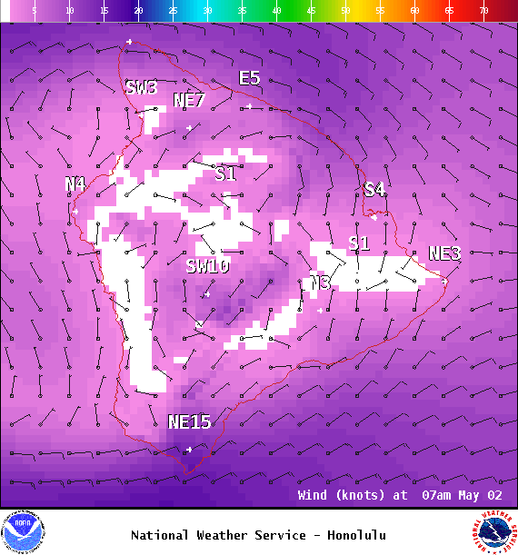
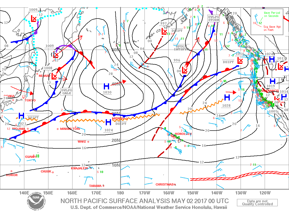
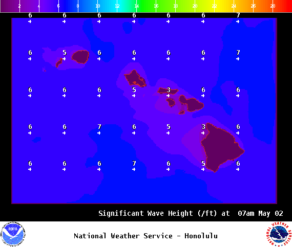
**Click directly on the images below to make them larger. Charts include: Big Island high/low forecasted temperatures, projected winds, chance of cloud cover, projected localized weather conditions, vog/SO2 forecast and expected wave heights.**
+
SWIPE LEFT OR RIGHT
ARTICLE CONTINUES BELOW AD
ARTICLE CONTINUES BELOW AD
Looking Ahead
East to southeast trade winds will weaken overnight, and remain light through Wednesday, delivering clouds and showers to windward areas during nights and mornings. The light winds will allow afternoon clouds and a few showers to develop over leeward areas Tuesday, and maybe again on Wednesday. Moderate trade winds are expected to return Thursday, and deliver brief windward showers through next weekend.
ARTICLE CONTINUES BELOW AD
Today
We expect trade winds today around 10 to 20 mph. High temperatures are forecast from 81° to 86°. Partly cloudy skies with scattered windward showers and isolated afternoon leeward showers.
UV index at 12 (“extreme” exposure level)
ARTICLE CONTINUES BELOW AD
Tonight
Trade winds are forecast around 10 to 20 mph. Mostly cloudy skies with windward showers likely and clearing for the Kona side. Low temperatures from 70° to 75°.
This comments section is a public community forum for the purpose of free expression. Although Big Island Now encourages respectful communication only, some content may be considered offensive. Please view at your own discretion. View Comments