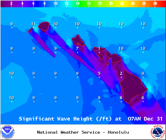
A Small Craft Advisory is posted for Big Island windward and leeward coastal waters and the Alenuihaha channel through 6:00 p.m. Wednesday Dec. 31, 2014. Winds are expected out of the northeast from 15 to 30 knots with higher gusts with rough seas rising to 7 to 17 feet.
A High Wind Warning was issued by the National Weather Service for the summits of Mauna Kea and Mauna Loa through 6:00 a.m. Wednesday Dec. 31, 2014. West to southwest winds are expected from 45 to 70 mph with gusts over 90 mph possible.
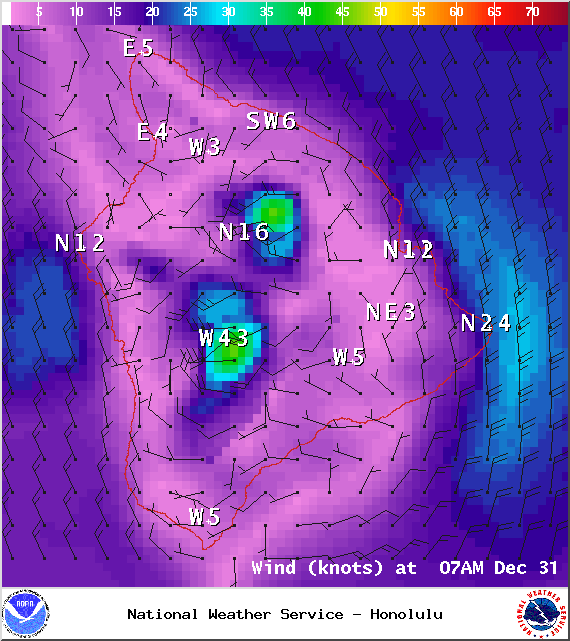
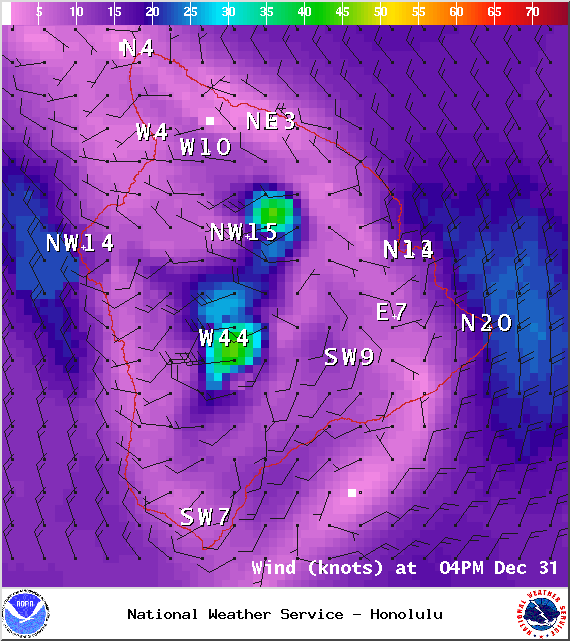
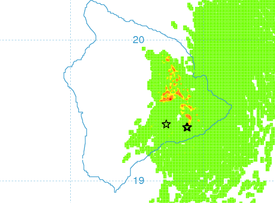
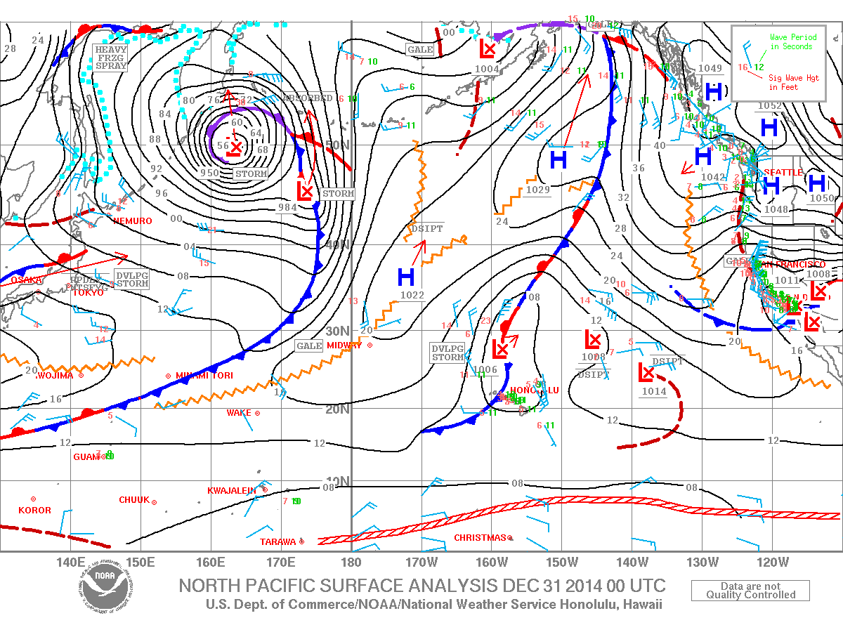
**Click directly on the images below to make them larger. Charts include: Big Island high/low forecasted temperatures, projected winds, chance of cloud cover, projected localized weather conditions, vog/SO2 forecast and expected wave heights.**
+
SWIPE LEFT OR RIGHT
Today, New Year’s Eve, December 31, 2014
ARTICLE CONTINUES BELOW AD
ARTICLE CONTINUES BELOW AD
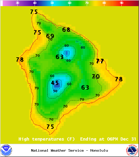
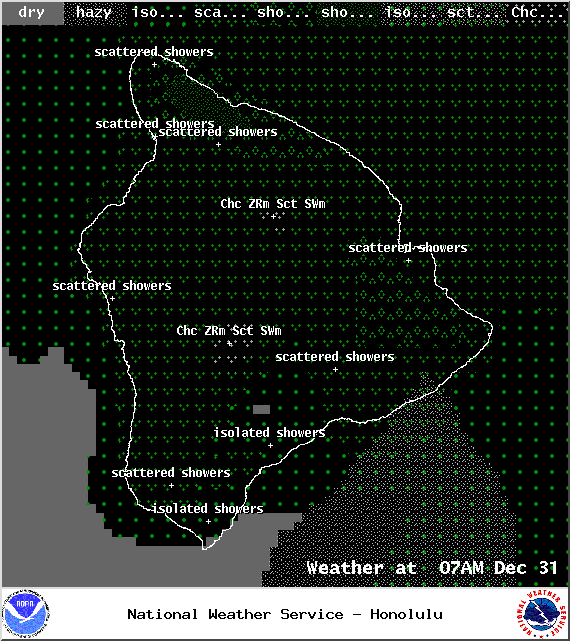
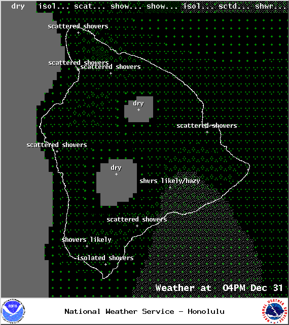
Today, we expect conditions to slowly clear up. Winds and showers should diminish as the day goes on. As conditions clear, it will get cooler. The UHSOEST vog model shows haze over the Hilo side in the afternoon. Winds are expected out of the north from 15 to 25 mph turning variable and weakening by New Year’s Day. High temperatures should fall in the range of 74° to 79°.
Sunrise: 6:55 a.m.
Sunset: 5:52 p.m.
UV index at 6 (“high” exposure level)
ARTICLE CONTINUES BELOW AD
Tonight
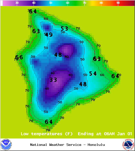
Partly cloudy skies are expected on the Big Island with isolated showers. Northerly winds are expected from 15 to 25 mph but weakening and turning variable. Cooler than usual low temperatures are forecasted from 58° to 65° degrees.
Moonrise: 2:34 p.m.
Moonset: 3:47 a.m. on Jan. 1
Next Full Moon: Jan. 4 at 6:54 p.m.
ARTICLE CONTINUES BELOW AD
Next New Moon: Jan. 20 at 3:14 a.m.
Looking Ahead
Very cool, brisk winds will spread across the islands behind the front Wednesday into New Year’s Day. We expect clearing with cool temperatures by early Wednesday morning. It will be a cool New Year’s Eve as northerly winds are forecasted to continue over the state, with much less showers. Forecast charts indicate there will be some moisture lingering near the islands Wednesday. A few stable low clouds may continue across the island chain. Another cold front will bring active weather and a chance of thunderstorms Friday and Friday night.
This comments section is a public community forum for the purpose of free expression. Although Big Island Now encourages respectful communication only, some content may be considered offensive. Please view at your own discretion. View Comments