Record Flow Measured at Rainbow Falls
Rainbow Falls After Hurricane Lane, Aug. 27. VC: Crystal Richard
Rainbow (Waiānuenue) Falls along the Wailuku River is an 80-foot-high waterfall located in Hilo on the Big Island.
The typical base flow for the falls is about 35 cubic feet per second (cfs). During the early impacts of Hurricane Lane on the morning of Aug. 23, 2018, the flow was measured at 26,000 cfs. Flows caused by Hurricane Lane later that day were measured at 82,300 cfs, setting a new record for the falls.

Two views from the Rainbow Falls overlook, downstream of the Wailuku River streamgage. (L) The typical base flow for the falls is about 35 cubic feet per second (cfs). (R) During the early impacts of Hurricane Lane on the morning of Aug. 23, 2018, the flow was measured at 26,000 cfs. Flows caused by Hurricane Lane later that day were measured at 82,300 cfs, setting a new record for the falls. Click to enlarge. PC: USGS
The highest recorded peak flow recorded since this U.S. Geological Survey streamgage became operational in 1929 was measured at 80,000 cfs in the early 1940s.
Immediately after the worst of the storm has passed, USGS hydrologists checked inland streamgages to verify peak water levels, and measure high-water marks left by floodwaters on buildings, bridges and trees.
In the days after the storm, this information helps emergency managers and insurers steer resources to the hardest hit areas. The crews will also calibrate and repair any streamgages damaged by the storm to ensure they continue providing valuable information in the aftermath of the storm.
The USGS Streamgaging Network operates sensors that record water levels and other key pieces of information on inland rivers and streams throughout the nation. With the support of local, state and federal agencies, the USGS uses this nationwide network to provide real-time data to the National Weather Service, Federal Emergency Management Agency (FEMA), the U.S. Army Corps of Engineers, Hawaii Emergency Management Agency and others.
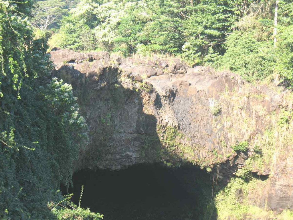
A waterless Rainbow Falls on the morning of Dec. 4, 2012. Photo by Dave Smith.
About Rainbow Falls
Rainbow (Waiānuenue) Falls is part of the Hawai’i State Parks. There is no fee to see the falls.
At Rainbow (Waiānuenue) Falls, the Wailuku River rushes into a large pool below.
The falls are accessible via Wailuku River State Park’s Waiānuenue Avenue and are best seen from the park’s viewing platform.
Rainbow Falls derives its name from the fact that, on sunny mornings around 10 a.m., rainbows can be seen in the waterfall’s mist.


