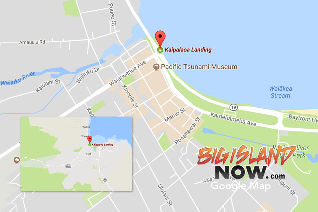
As you enter the town of Hilo from the north via Highway 19, you will cross what is known to locals as the “singing bridge” on the makai-side (ocean) of the highway to a tiny little park, only about a half-acre in size.
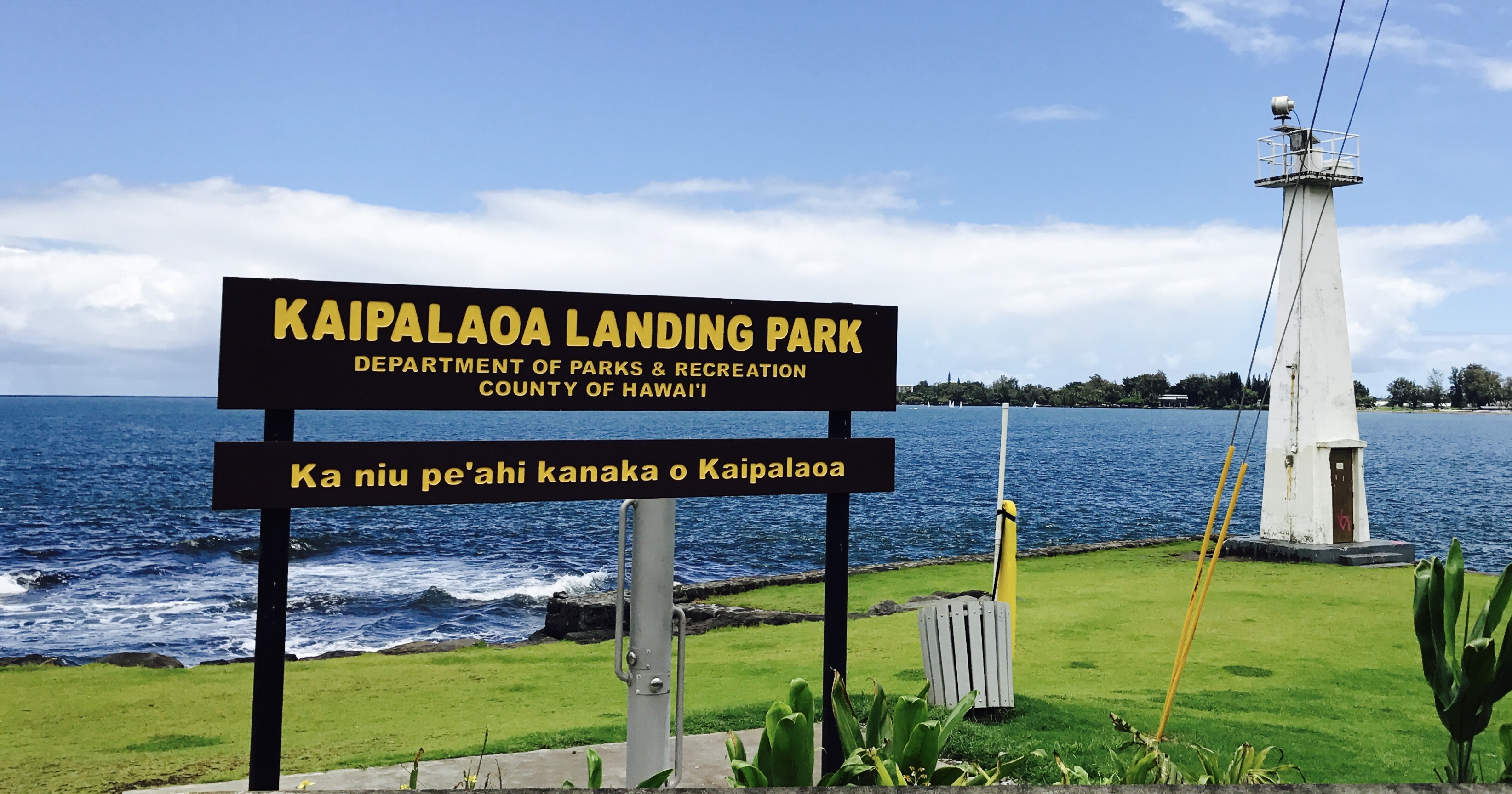
The park sign reads “Kaipalaoa Landing Park.” Right below that it says: Ka niu pe‘ahi kanaka o Kaipalaoa,” which means “the coconut trees that fan or shade people.
Kaipalaoa is famous for them.
It is said that before he began his quest or even realized it was his destiny to rule all of the Hawaiian Islands, King Kamehameha visited Kaipalaoa, which is located at the mouth of the Wailuku River.
He camped there and ordered his servants to guard his canoe so it would not be stolen or swept away by the tides.
ARTICLE CONTINUES BELOW AD
ARTICLE CONTINUES BELOW AD
He then left to visit a friend, who lived up the Wailuku River in the area known today as Reed Island.
Kamehameha’s men began to worry about him after he was gone for a long period of time, but they did not want to leave the canoe unattended.
Seeing ti leaf growing nearby, one of the men taught the others how to make a rope by twisting the leaf together. This type of twisting is known as “hilo.”
The men took the rope they made and secured the canoe, then went looking for Kamehameha.
little way up the river, they met up with Kamehameha, who was unharmed.
ARTICLE CONTINUES BELOW AD
He instantly became angry with his men because they did not keep watch on his canoe. However, he was surprised when he learned of what they did and how they secured his canoe.
It was a well-known fact that only people from Waipi‘o Valley knew how to make that type of rope. He then learned that the man who taught the others was from Waipi‘o Valley.
At that moment, he declared that the location where they stood would be called Hilo—meaning to twist. This is how Hilo received its name.
History tells us that in ancient times Hilo was noted in both legends and chants as the best surfing area on the island. King Kamehameha I often visited Kaipalaoa to surf the waves that rolled in. Today it is still not unusual to see surfers out riding the waves that come in at this location.
A
ARTICLE CONTINUES BELOW AD
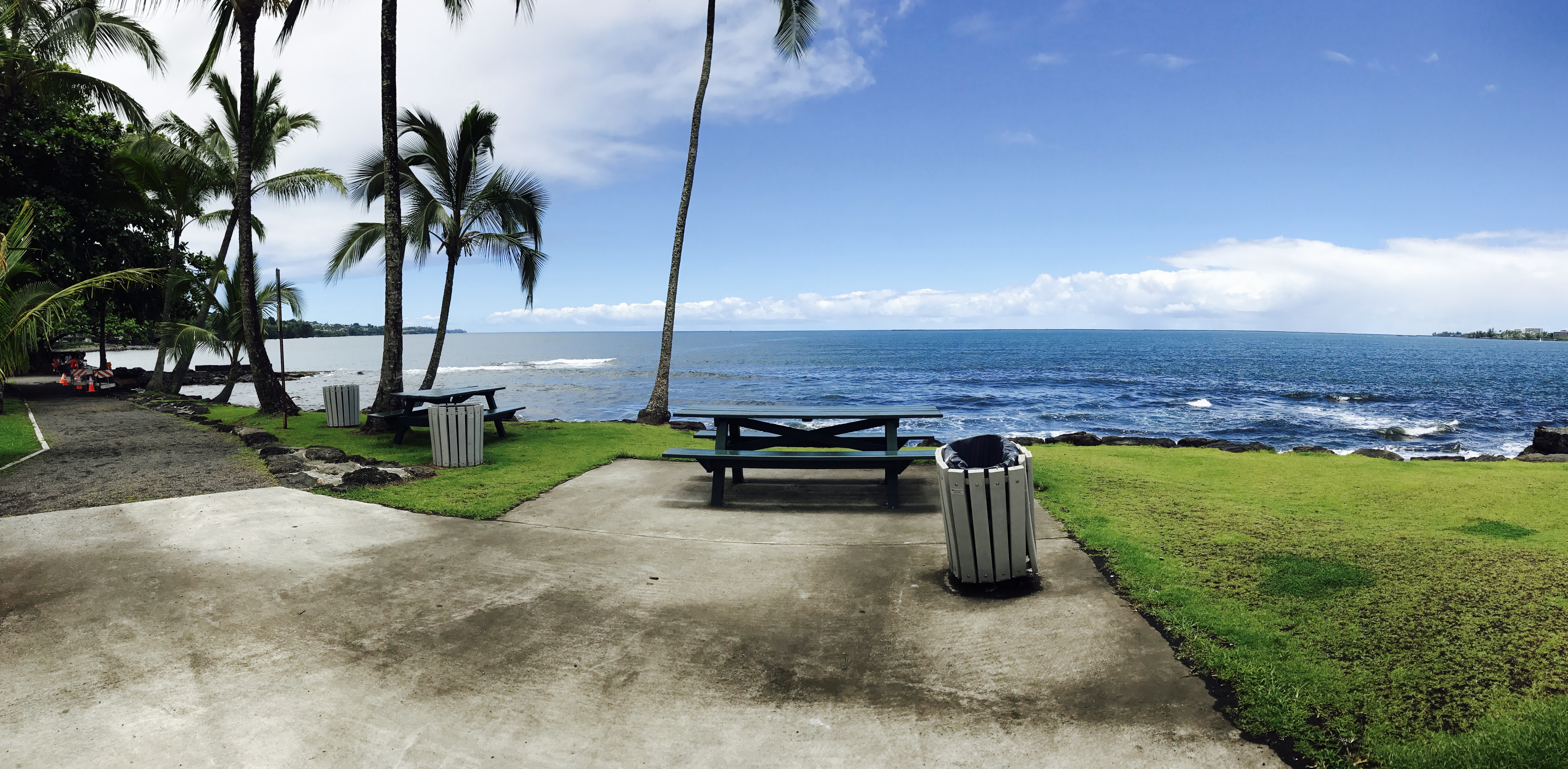
In recent history, the area has undergone extensive cleanup and restoration by the County of Hawai‘i Parks and Recreation Department. Newly added showers, as well as picnic tables and a new grassy lawn, make this location a nice place to relax.
However, it is worth noting that it is also a very busy intersection and extreme caution should be used while trying to cross the road.
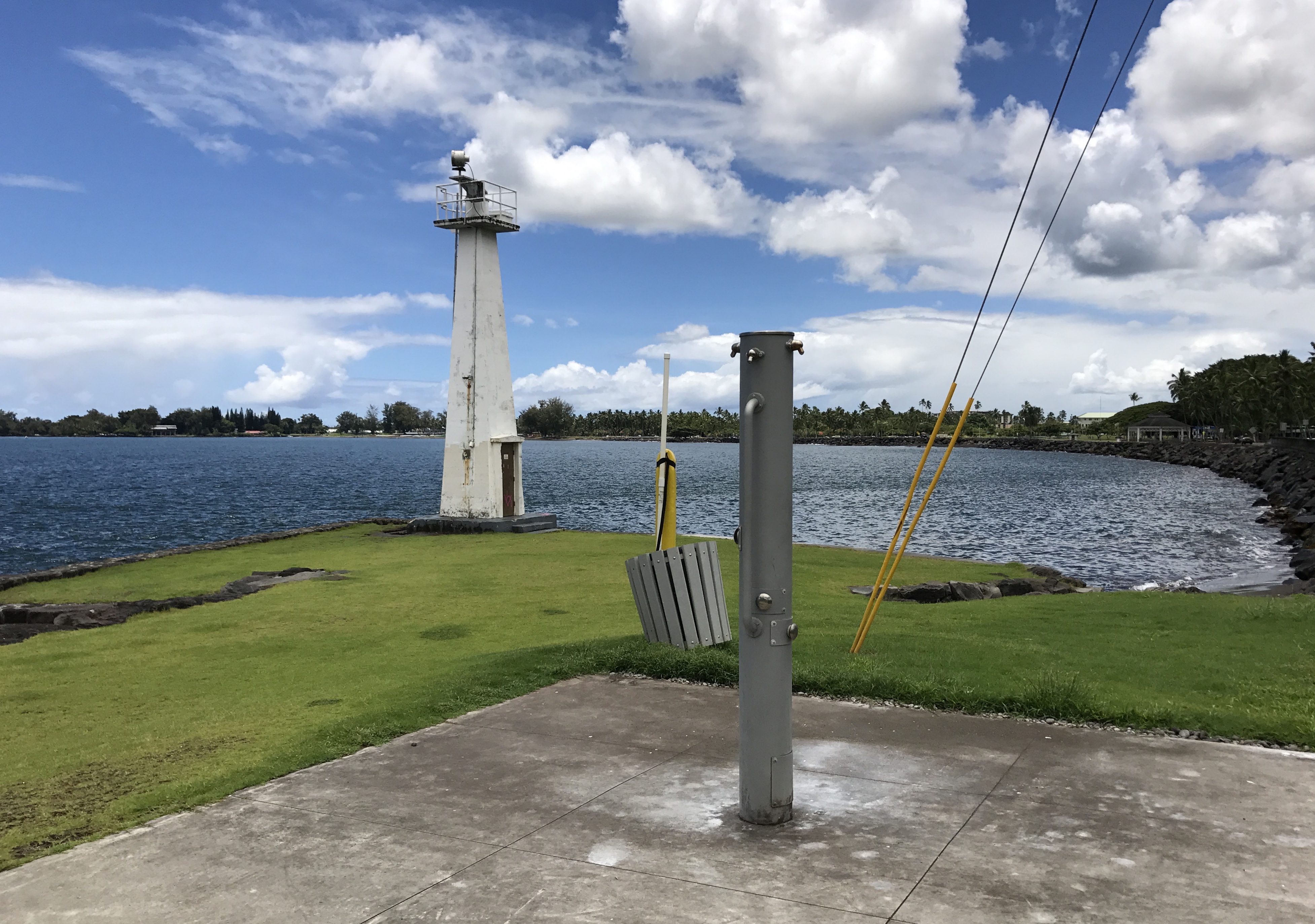
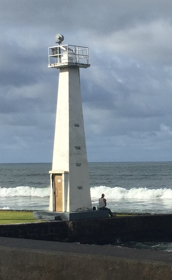
One cannot help but notice the stark white lighthouse—the old U.S. Coastguard Lighthouse—located near the water’s edge with the numbers 1960, 1946, 1957 and 1952 boldly printed in black on east-facing side. Those numbers tell a story all on its own. They are markers that tell you the years a tsunami hit Hilo Town and lines represent the wave heights of those tsunamis.
Kaipalaoa encompasses a larger area of downtown Hilo than the area now known as the park.
Kaipalaoa Landing Park. Darde Gamayo photo.
Kaipalaoa Landing Park. Darde Gamayo photo.
Many familiar with the history of the area consider Kaipalaoa landing a wahi pana, or legendary place, in Hilo.
This comments section is a public community forum for the purpose of free expression. Although Big Island Now encourages respectful communication only, some content may be considered offensive. Please view at your own discretion. View Comments


 A
A