Federal and state agencies, as well as nonprofit partners are using high technology solutions to address the fungal epidemic of Rapid ‘Ōhiʻa Death (ROD). Roughly 75,000 acres of Hawai‘i Island ʻōhiʻa forests are showing symptoms of the disease.
“The battle against the two types of Ceratocystis fungus that causes Rapid ‘Ōhiʻa Death has always been a hugely collaborative effort,” said Rob Hauff, state protection forester for the DLNR Division of Forestry and Wildlife (DOFAW). “Now, the collaboration between the agencies and organizations engaged in the fight against this devastating disease not only continues, but is expanding, particularly on the detection front.”
According to the Department of Land and Natural Resources (DLNR), early detection is crucial in reducing the spread of ROD on Hawai‘i Island and to neighboring islands. Early signs also provide scientific data to help find a way to stop it. Researchers are now using high-tech survey and detection tools to map and test for the presence of ROD.
Dr. Carter Atkinson, a research microbiologist with the U.S. Geological Survey based at Hawai‘i Volcanoes National Park, developed what the team from the Big Island Invasive Species Committee (BISC) calls a “lab in a suitcase.” The BISC team recently collected and tested ʻōhiʻa samples from trees in the Laupāhoehoe Forest Reserve using the portable lab.
Prior to development of this tool, all samples were sent to the USDA ARS Daniel K. Inouye U.S. Pacific Basin Agricultural Research Center in Hilo. Since ROD was discovered in 2014, the center has been overwhelmed with samples.
ARTICLE CONTINUES BELOW AD
ARTICLE CONTINUES BELOW AD
“The lab in a suitcase has been really nice,” said Bill Buckley, the Forest Response program coordinator for BISC. “We can collect our samples in the field, and nearby under a portable tent the testing equipment is set and ready to go. Within a few hours we get preliminary results. In the remote locations we often work in, this is really beneficial. If we get a positive result, we then can go immediately back out and do additional sampling to get a better sense of how widespread the infection is. This greatly speeds up management decisions.”
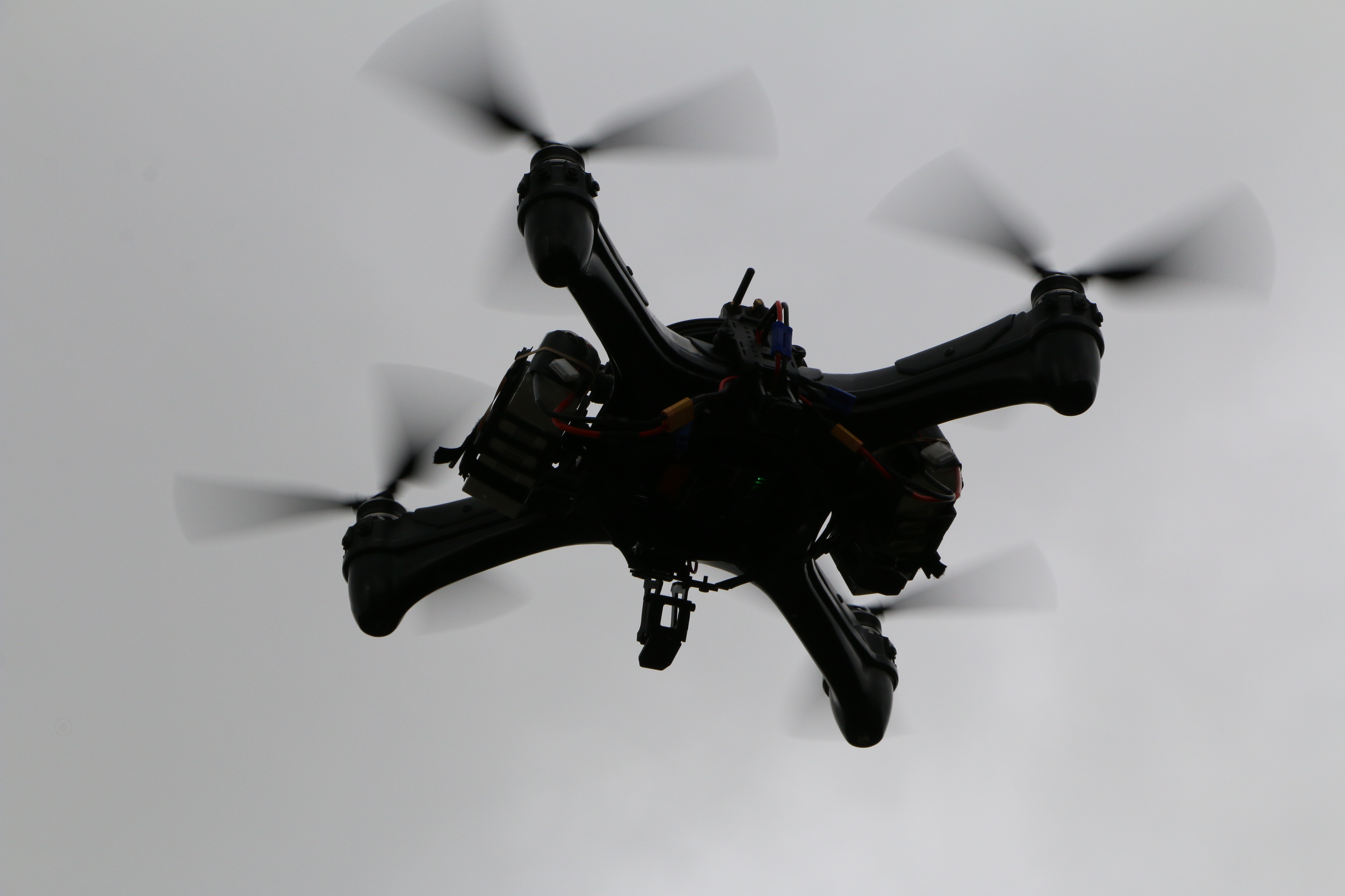
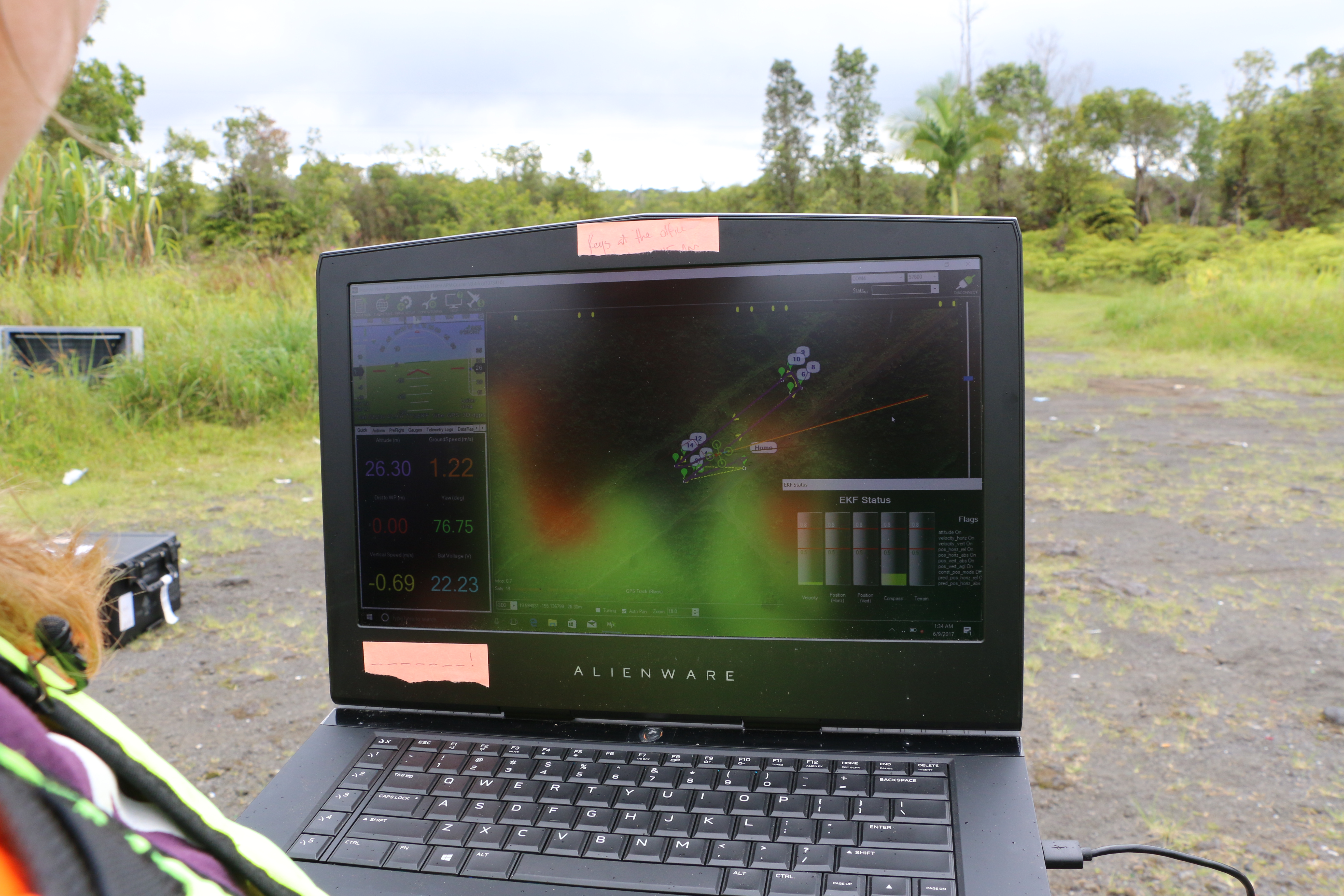
Another tool researchers are using to detect ROD is unmanned aerial systems (UAS). Dr. Ryan Perroy of the Department of Geography and Environmental Science at University of Hawai‘i at Hilo are spending about a quarter of their time flying a UAS to detect and map ROD infections. The drone has been used for about a year and half in the battle against ROD, according to Perroy.
“It’s very good for monitoring changes in the forest on an individual tree basis, because the resolution of the imagery is so fine that you can see individual leaves and branches,” Perroy explained.
Through high-resolution imagery captured by the UAS, researchers can see changes over infected areas of forest and detect suspected new cases.
ARTICLE CONTINUES BELOW AD
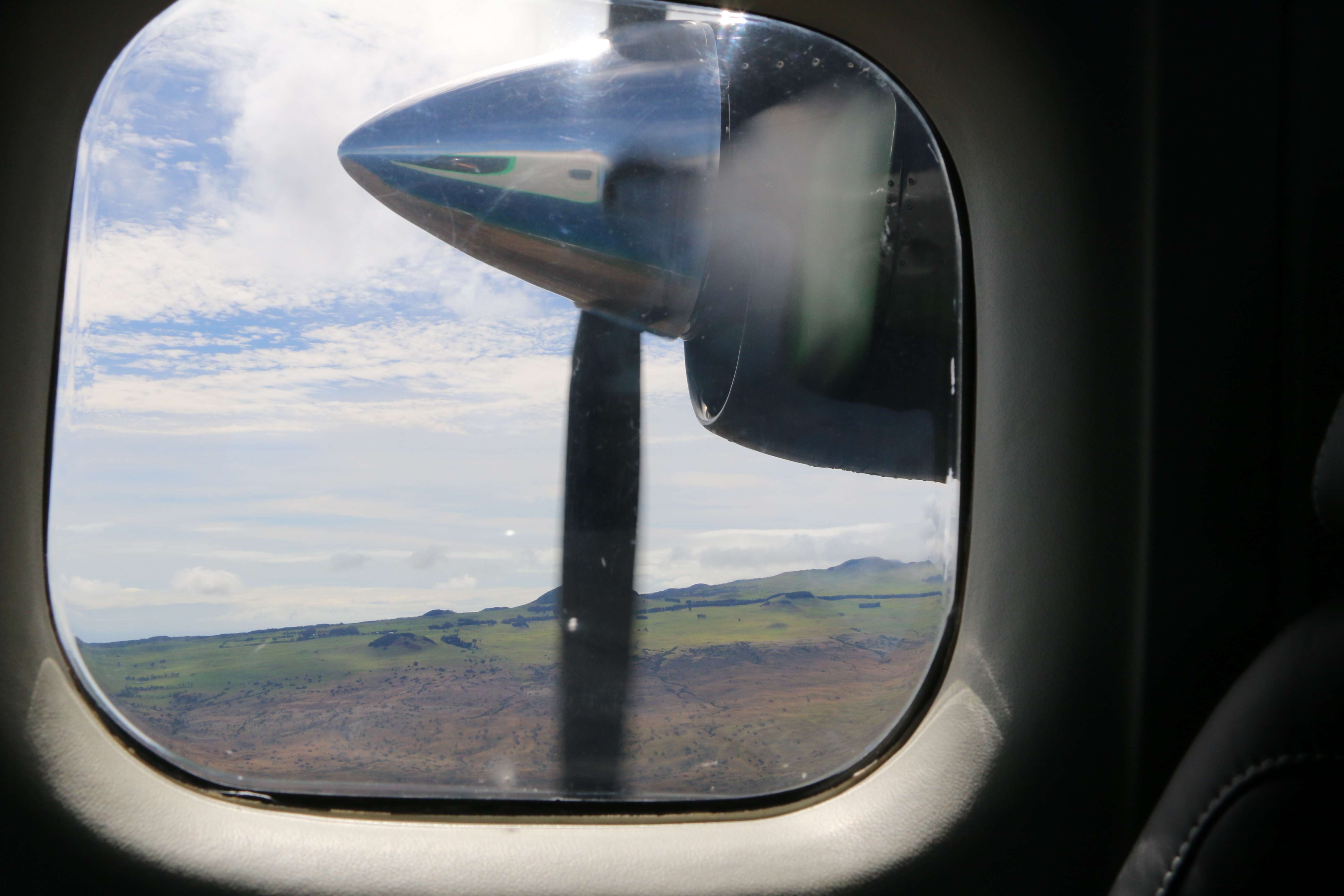
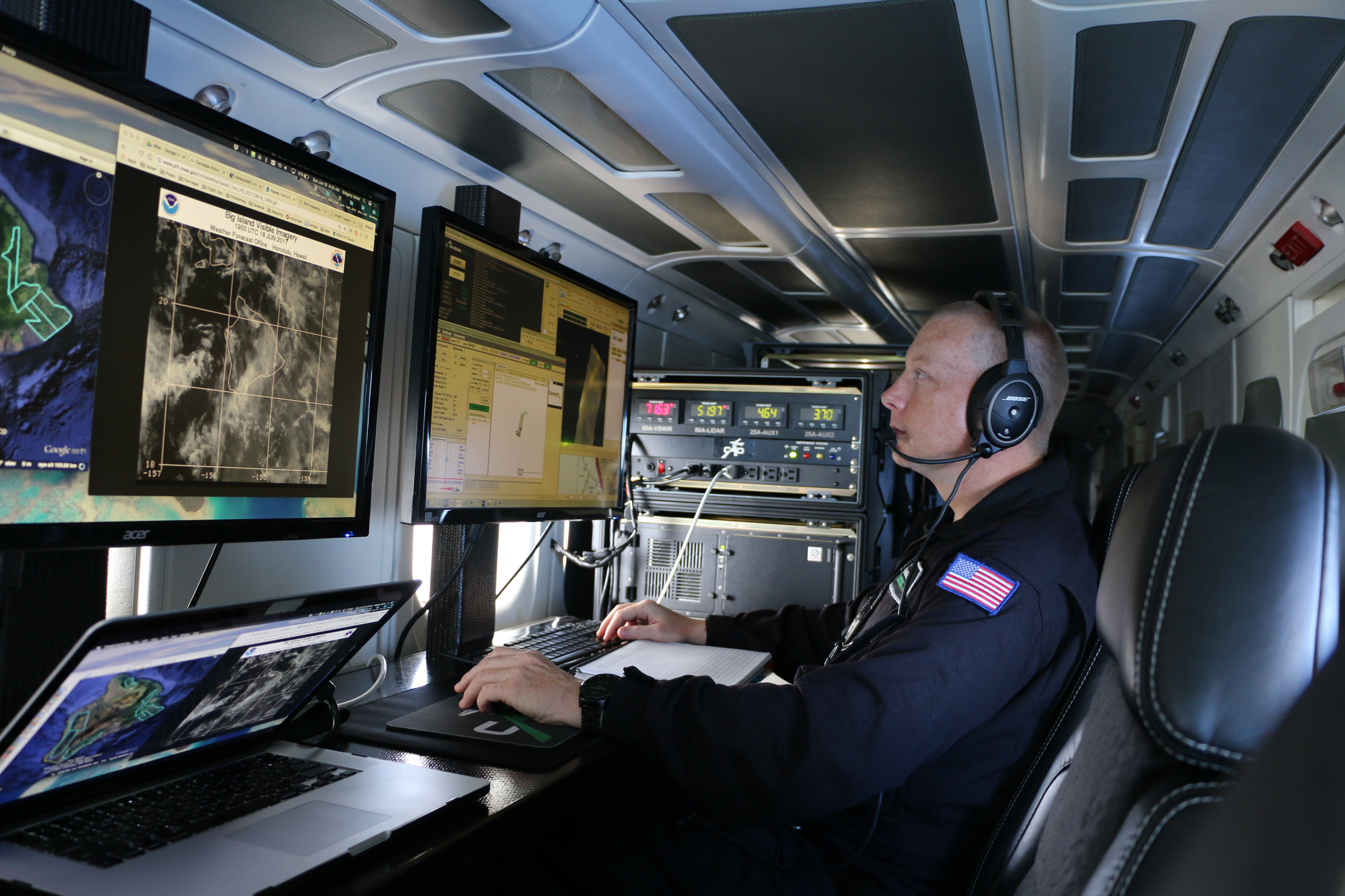
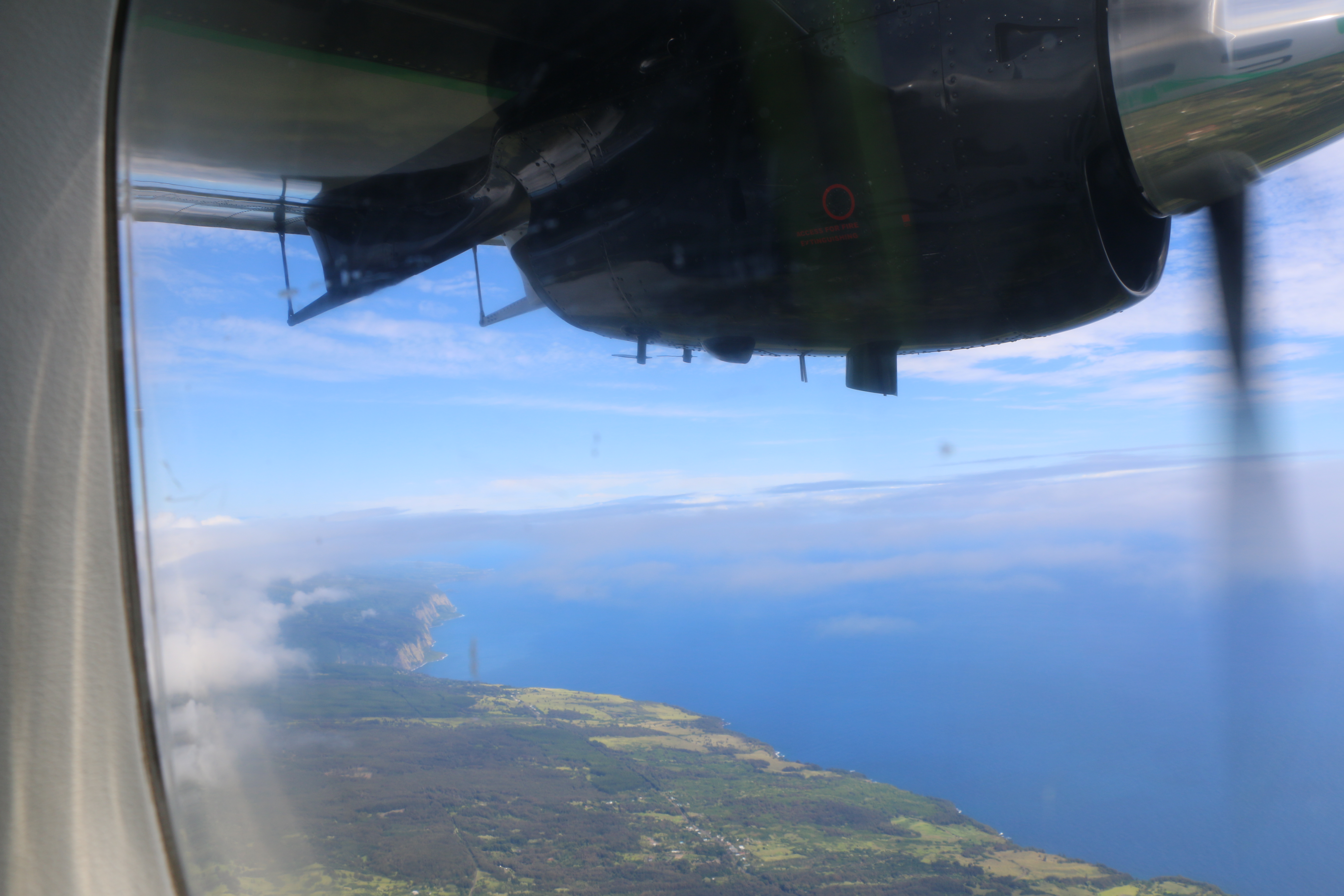
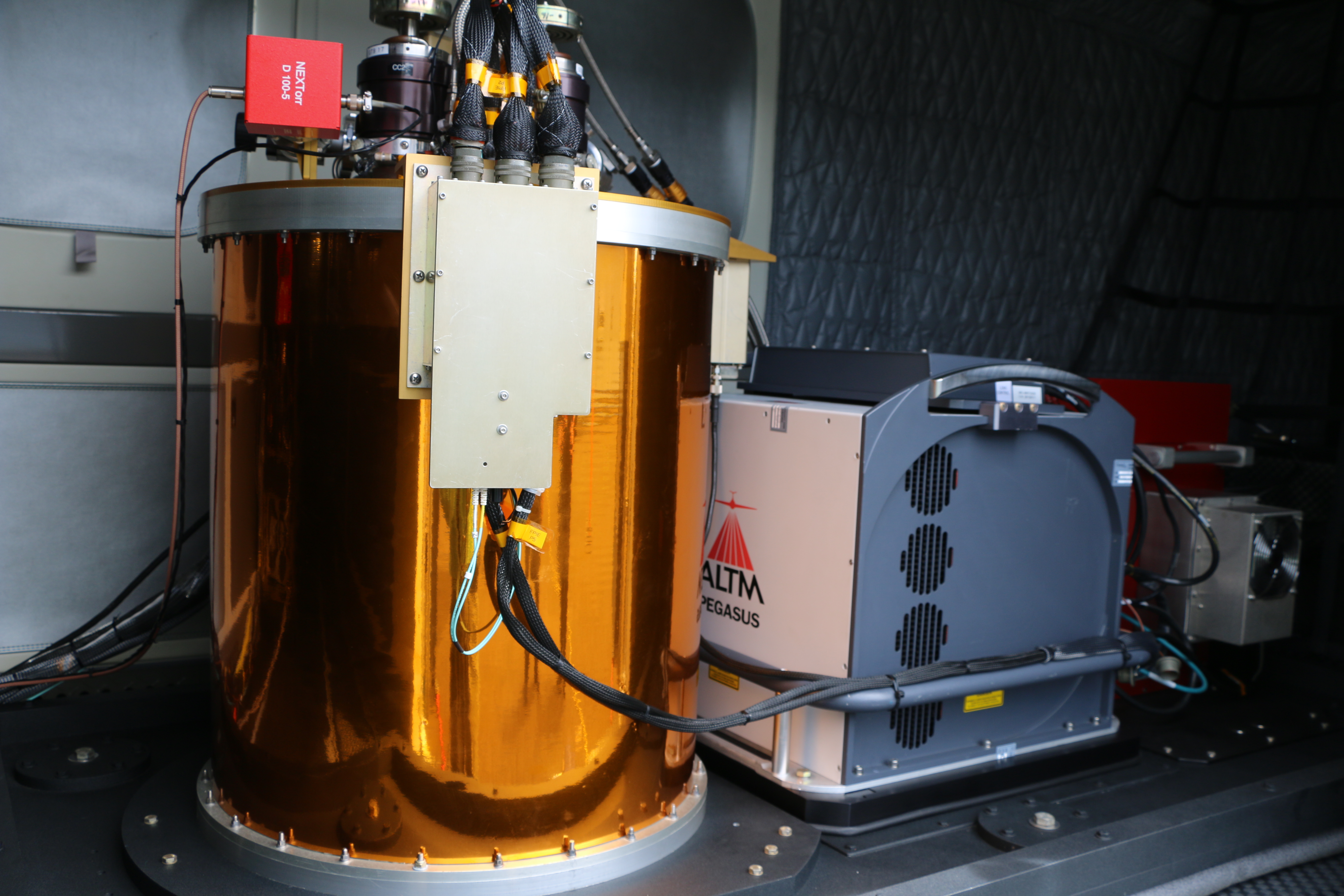
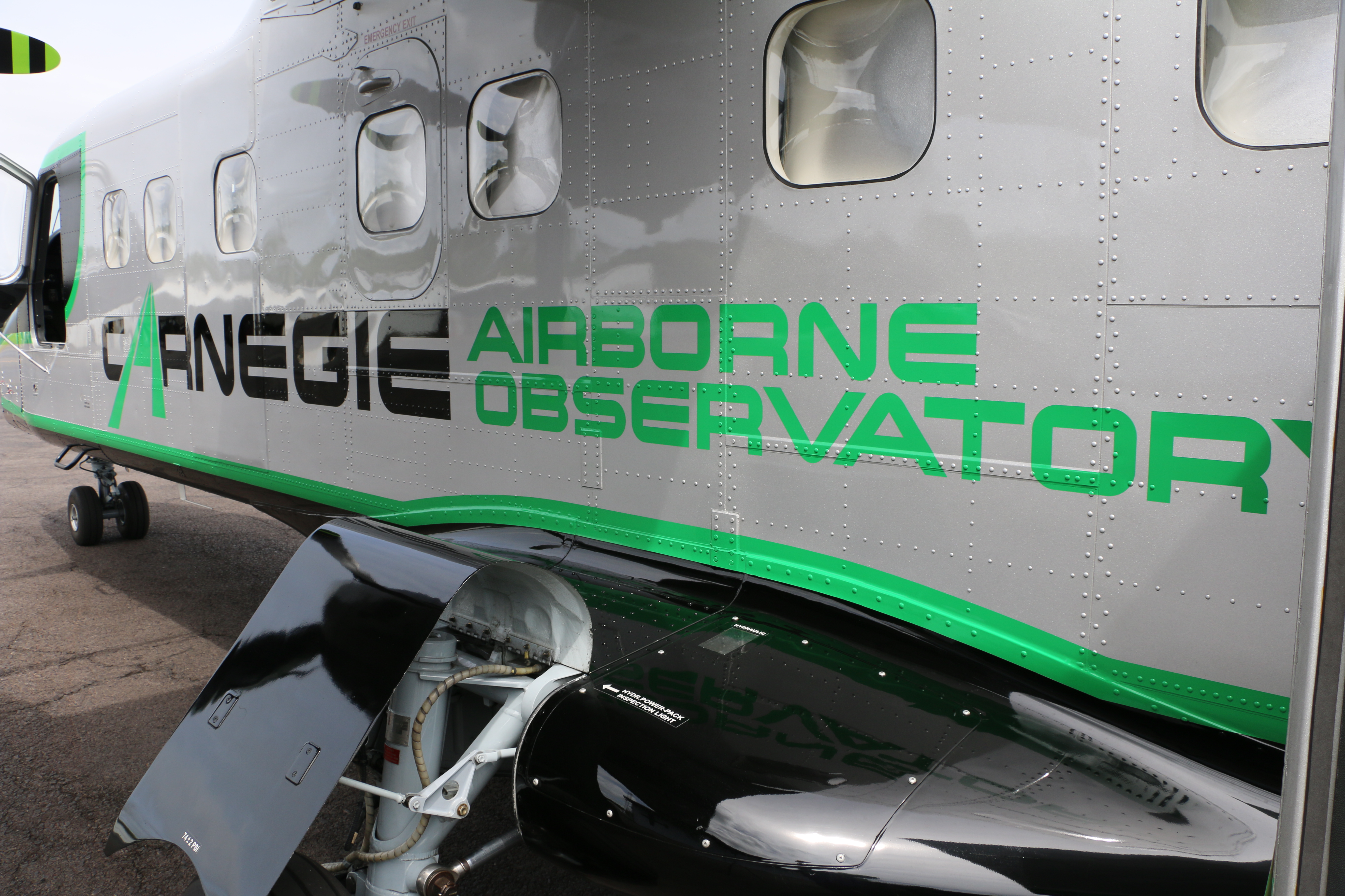
Higher up at 8,000 feet, the Cargenie Airborne Observatory (CAO) is remapping some 650,000 acres of ʻōhiʻa forest on Hawai‘i island to detect ROD. The twin-engine aircraft carries millions of dollars worth of highly sophisticated equipment that can peer into the structural makeup and chemistry of individual trees to assess forest health.
CAO completed its first airborne survey in January 2016. It is flying again this month, June, to provide additional 3D imaging and data, joining ground and UAS data to give researchers a clearer picture of how ROD is spreading.
“Our 3D imaging system means we see the leaves in the forest canopy on individual trees,” explained Dr. Greg Asner, who leads the CAO effort. “We can determine tree heights, the tree’s structure and the chemical make-up.”
Asner and his team have mapped about two-thirds of Hawai‘i Island ʻōhiʻa forests since beginning their second round of flights.
ARTICLE CONTINUES BELOW AD
He added, “Our work provides the whole island view and that interfaces with all the field work and with some of the high-resolution mapping that’s happening locally within some of the canopies. We give the big picture, landscape scale view, but also with a lot of detail.”
Researchers and managers combating ROD agree that the fungal disease is a serious threat to Hawai’iʻs most important native tree. According to DLNR, ōhiʻa protect watersheds statewide by providing a sponge-effect that allows rainwater to slowly seep into underground aquifers. In addition to their cultural significance and use in lei making, ōhiʻa also curb erosion and the spread of invasive species.
“I think it’s really encouraging in this daunting threat to our precious native ecosystem, to have a community of natural resource managers and scientists come together to find a solution,” said Philipp LaHaela Walter, state survey and resource forester for DLNR/DOFAW. “I think this experience of having dedicated partners, complete collaboration and the deployment of top-notch technology has greatly improved cross-agency communications and efficiency and we all hope eventually leads to a treatment for Rapid ‘Ōhiʻa Death.”
This comments section is a public community forum for the purpose of free expression. Although Big Island Now encourages respectful communication only, some content may be considered offensive. Please view at your own discretion. View Comments