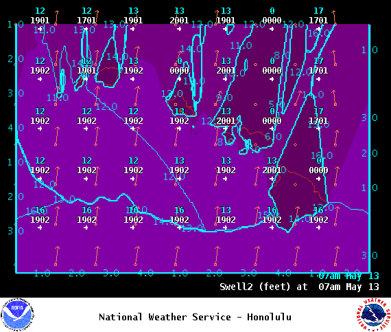
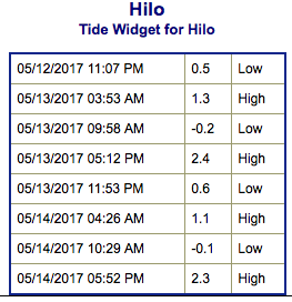
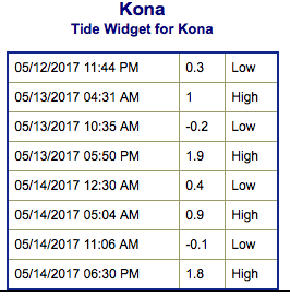
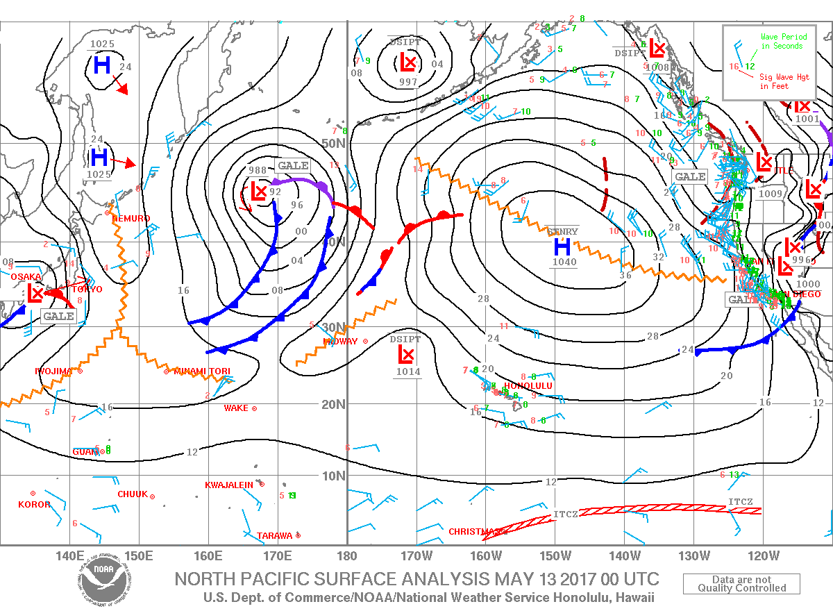
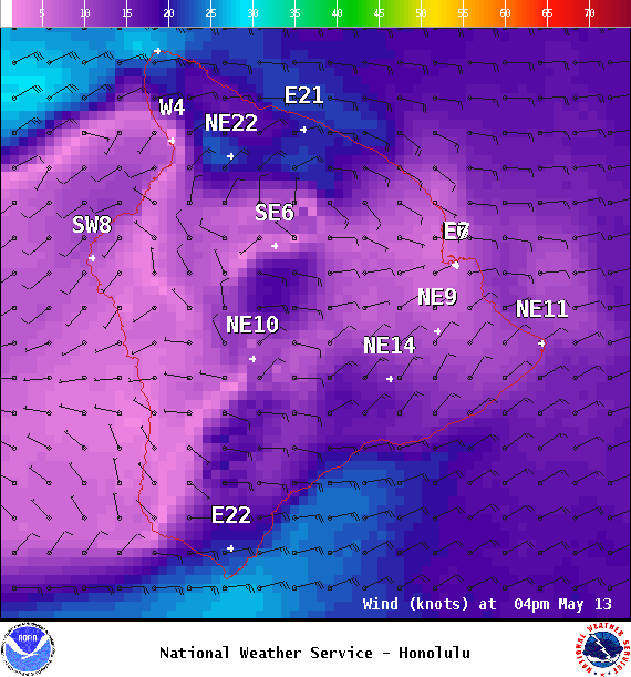
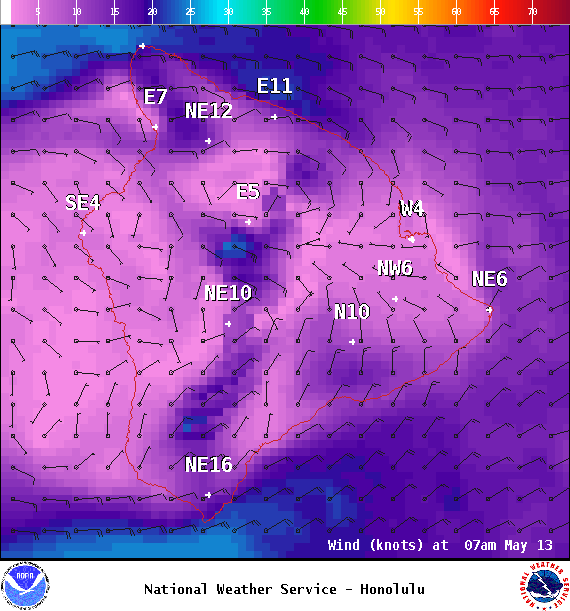
**Click directly on the images below to make them larger. Charts include: Big Island projected winds, tides, swell direction & period and expected wave heights.**
+
SWIPE LEFT OR RIGHT
ARTICLE CONTINUES BELOW AD
Big Island Surf Forecast
Hilo side: Wave heights are forecast to be knee/shoulder high today.
Kona side: Wave heights are expected to be ankle/waist high today.
ARTICLE CONTINUES BELOW AD
South: Wave heights are expected to be ankle/waist high today.
A new south swell is filling in Saturday and peaking Sunday around chest high. Something slightly bigger is possible around the 16th. A more solid south-southwest is possible later in the month (around the 19th) from Donna – stay tuned.
A small northwest is forecast to build on the 18th, otherwise nothing much expected out of the North Pacific.
Keep in mind, surf heights are measured on the face of the wave from trough to crest. Heights vary from beach to beach, and at the same beach, from break to break.
This comments section is a public community forum for the purpose of free expression. Although Big Island Now encourages respectful communication only, some content may be considered offensive. Please view at your own discretion. View Comments