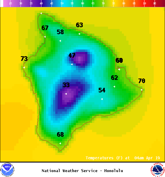
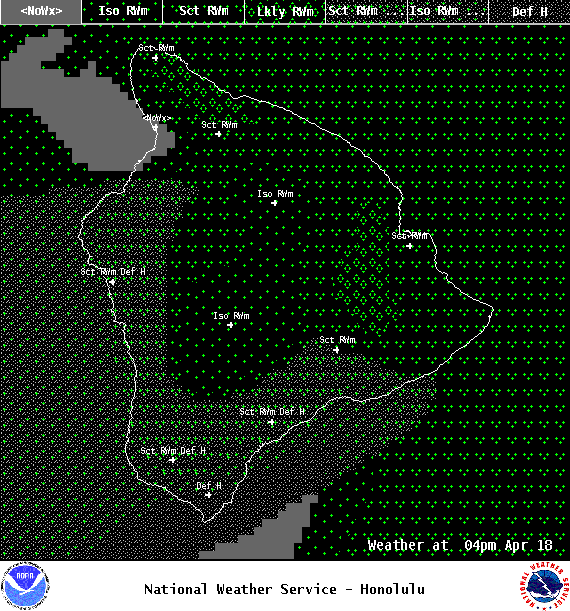
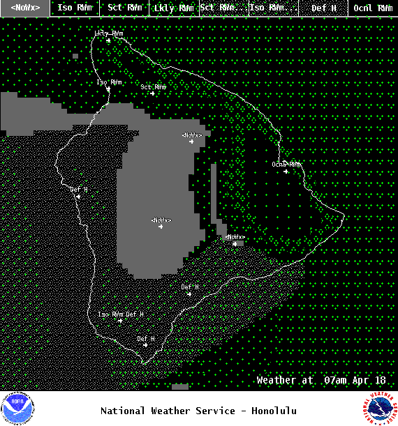
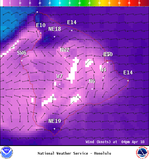
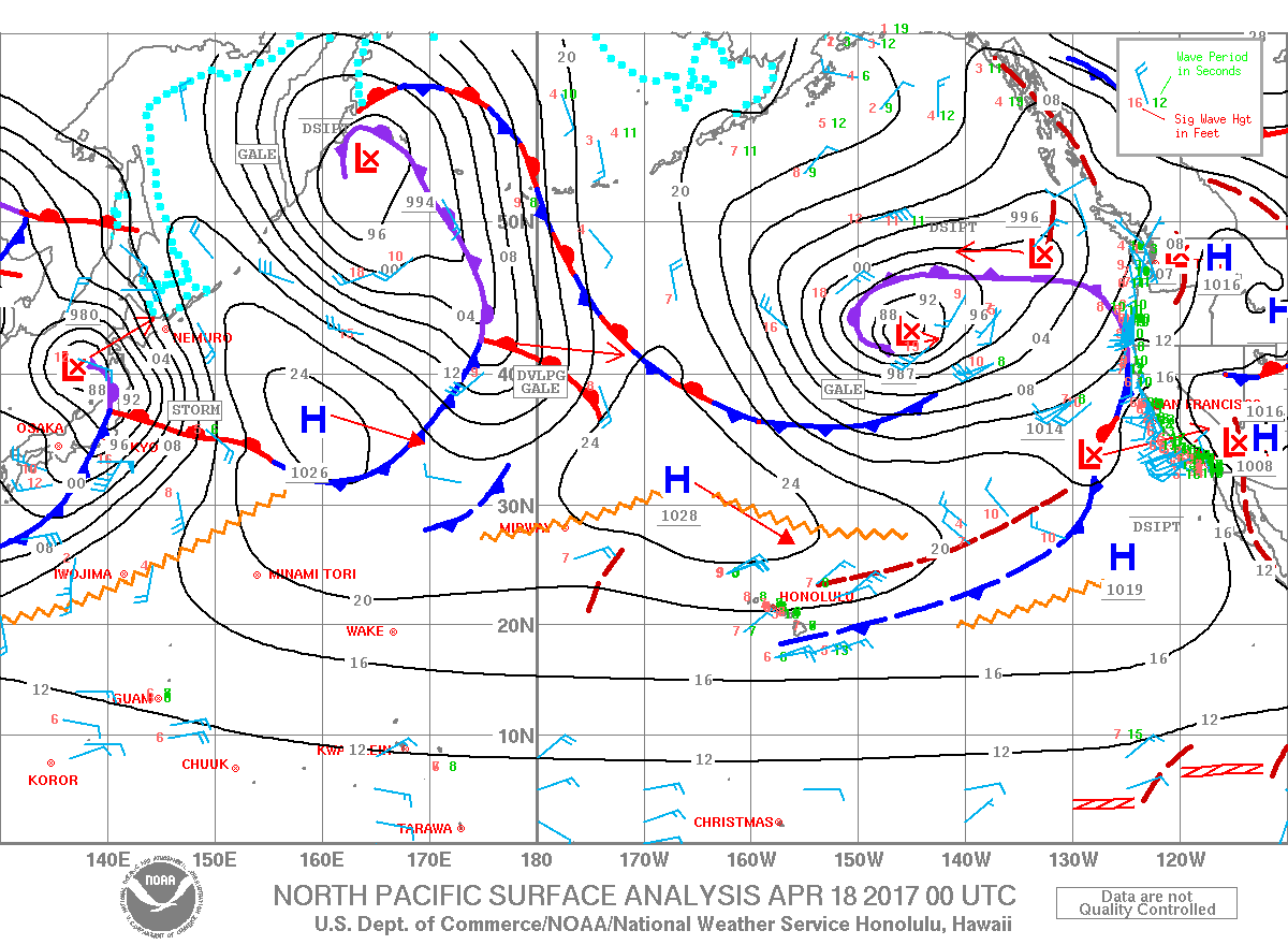
**Click directly on the images below to make them larger. Charts include: Big Island high/low forecasted temperatures, projected winds, chance of cloud cover, projected localized weather conditions, vog/SO2 forecast and expected wave heights.**
+
SWIPE LEFT OR RIGHT
ARTICLE CONTINUES BELOW AD
ARTICLE CONTINUES BELOW AD
Looking Ahead
Remnants of a stalled front bring showers to Maui County and Big Island windward spots into early this morning. Winds are forecast to ease some on Tuesday and veer to Kona winds by Wednesday ahead of an approaching front. The front is forecast to reach the islands Thursday and stall on Friday and Saturday.
ARTICLE CONTINUES BELOW AD
Today
Showers and clouds from an old front are forecast to continue impacting windward sides today. Showers are likely for the Hilo side with mostly cloudy skies. The Kona side will mainly see scattered afternoon showers. High temperatures are forecast from 81° to 86°. Winds are forecast out of the east from 15 to 20 mph.
UV index at 11 (“extreme” exposure level)
ARTICLE CONTINUES BELOW AD
Tonight
East winds are forecast around 10 to 20 mph. Mostly cloudy skies are expected for Hawaii County with windward showers likely and clearing skies for the Kona side. Low temperatures from 68° to 73°.
This comments section is a public community forum for the purpose of free expression. Although Big Island Now encourages respectful communication only, some content may be considered offensive. Please view at your own discretion. View Comments